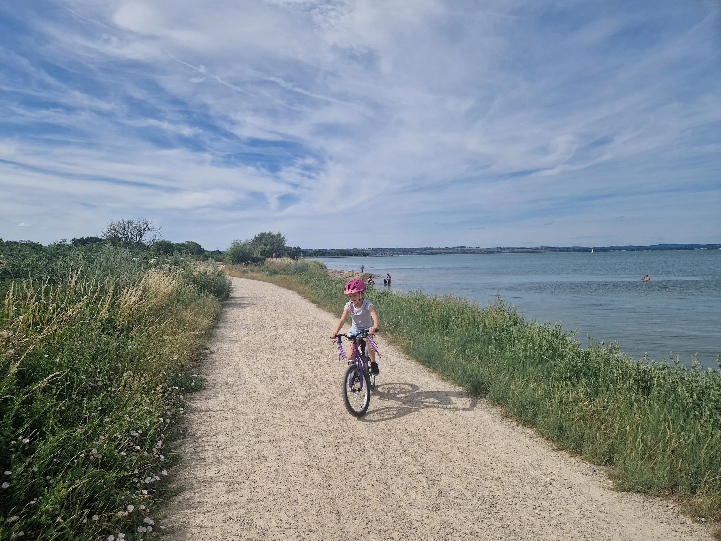
Farlington to Eastney
Down the eastern side of Portsea Island
Follow this totally flat route down the eastern shoreline of Portsea Island to Eastney Beach where you can stop for a half-way swim and ice cream. Recent improvements to this path have been made following sea defence work and there are so many lovely features including wildflowers, picnic areas, viewpoints, wildlife habitats and interpretation boards.
Route
📏 Distance:
The route is approximately 6.8 km / 4.2 miles each way, which would take a family with children about thirty-five minutes to cycle each way.
🏔️ Terrain:
Flat, firm and well surfaced paths with some road cycling necessary if you want to reach the beach at the end.
🏁 Start / Finish:
Start the route at the free car park at Farlington Marshes (height barrier).
(Postcode: PO6 1UN - W3W: ///purely.shots.rather)
This route finishes at Eastney Beach.
🚗 Traffic:
Most of the route is entirely off-road with the exception of the last ten minutes/2 km. To reach the beach, you will need to cycle at the side of residential streets without cycle paths. In addition to this, the initial minute or so of the ride does involve a short section on a cycle path beside the busy traffic on the Eastern Road Bridge. You can avoid this by using one of the alternative car parks further along Eastern Road, look out for one on your left just after the turning to the Andrew Simpson Centre.
☕ Refreshments:
Miller and Carter Steakhouse towards the start of the route, The Thatched House at Milton Locks at the end of the shoreline path or The Coffee Hutch van at Eastney Beach.
🚾 Toilets:
There are public toilets at Eastney Beach.
🚇 Public Transport:
If you wish to arrive by public transport, start the route at Eastney Beach and utilise the bus service.
🪧 Points of interest:
The route begins with views of Farlington Marshes, a wetland habitat full of coastal and wading birds. Exit the car park towards the road/roundabout and join the cycle path. Keep the water to your left and the traffic to your right and make your way over Eastern Road Bridge.
Once over the bridge, the cycle path moves away from the road and you will begin your journey down the shoreline. You will briefly come away from the shore as you pass The Andrew Simpson Centre, but you should continue in the same direction.
After the sailing centre, you will meet a rest area with benches and interpretation boards. There are eight sites like this as you make your way along the coast.
Pass Harbourside Park where residents of these chalet homes enjoy the view through the glass wall. Miller and Carter Steakhouse is just after this.
Look out for the information board that tells you all about Cockleshell Island, a special habitat for overwintering birds to roost on.
At The People’s Memorial, there are benches in a peaceful and shady spot.
The next point of interest will be Swan Lake and Milton Common to your right.
The shoreline path will end at Locks Sailing Club. Turn right at the end of the path. If you wish to visit The Thatched House pub overlooking Lock Lake, turn left over the footbridge.
To continue to the beach, do not go over the bridge, but go straight on down the narrow path. Turn left when you reach the road and cycle along the side of this residential street until you reach the junction with Ironbridge Lane. Turn left and follow the blue cycle signs for Eastney Beach and continue straight until you reach Bransbury Park. Follow the permissive cycle path that cuts straight across the park and then turn left when you reach the road at the other side. Follow Henderson Road as it curves round and brings you to Eastney Beach.
At the beach you will find toilets, a water bottle refill, bike racks and a coffee van.
The route is linear, so you will need to return the way you came.