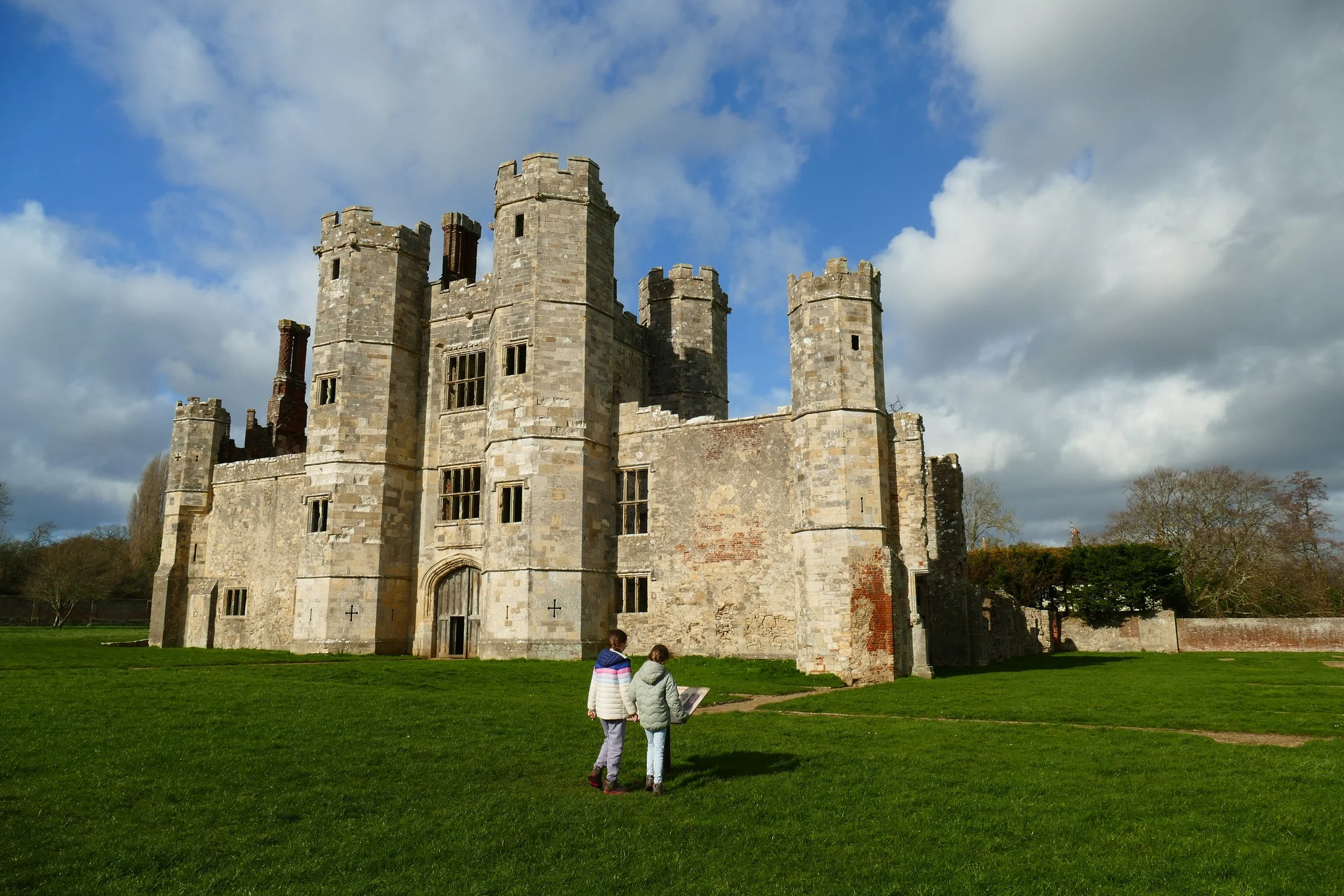
Otter Trail
Otterbourne
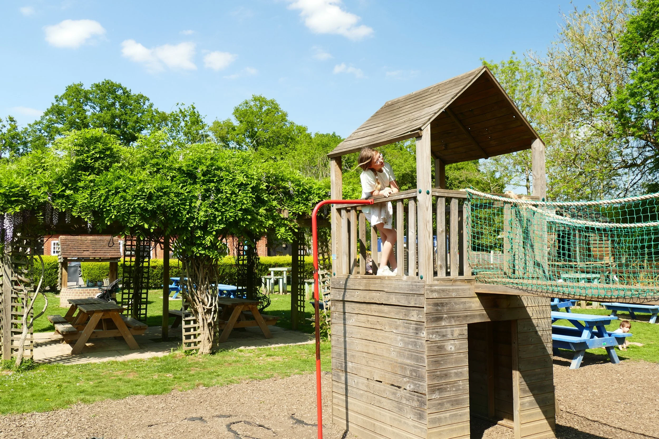
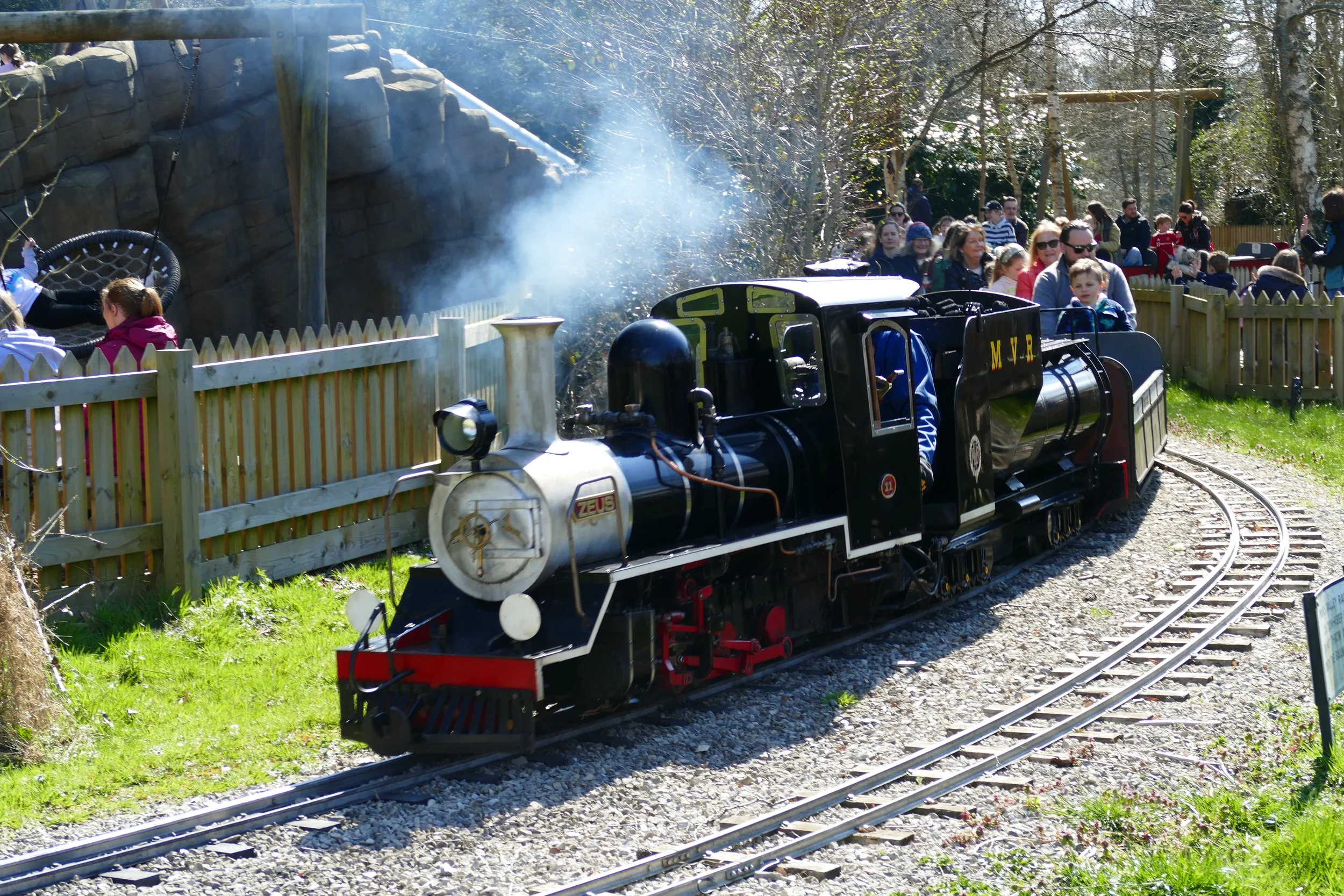
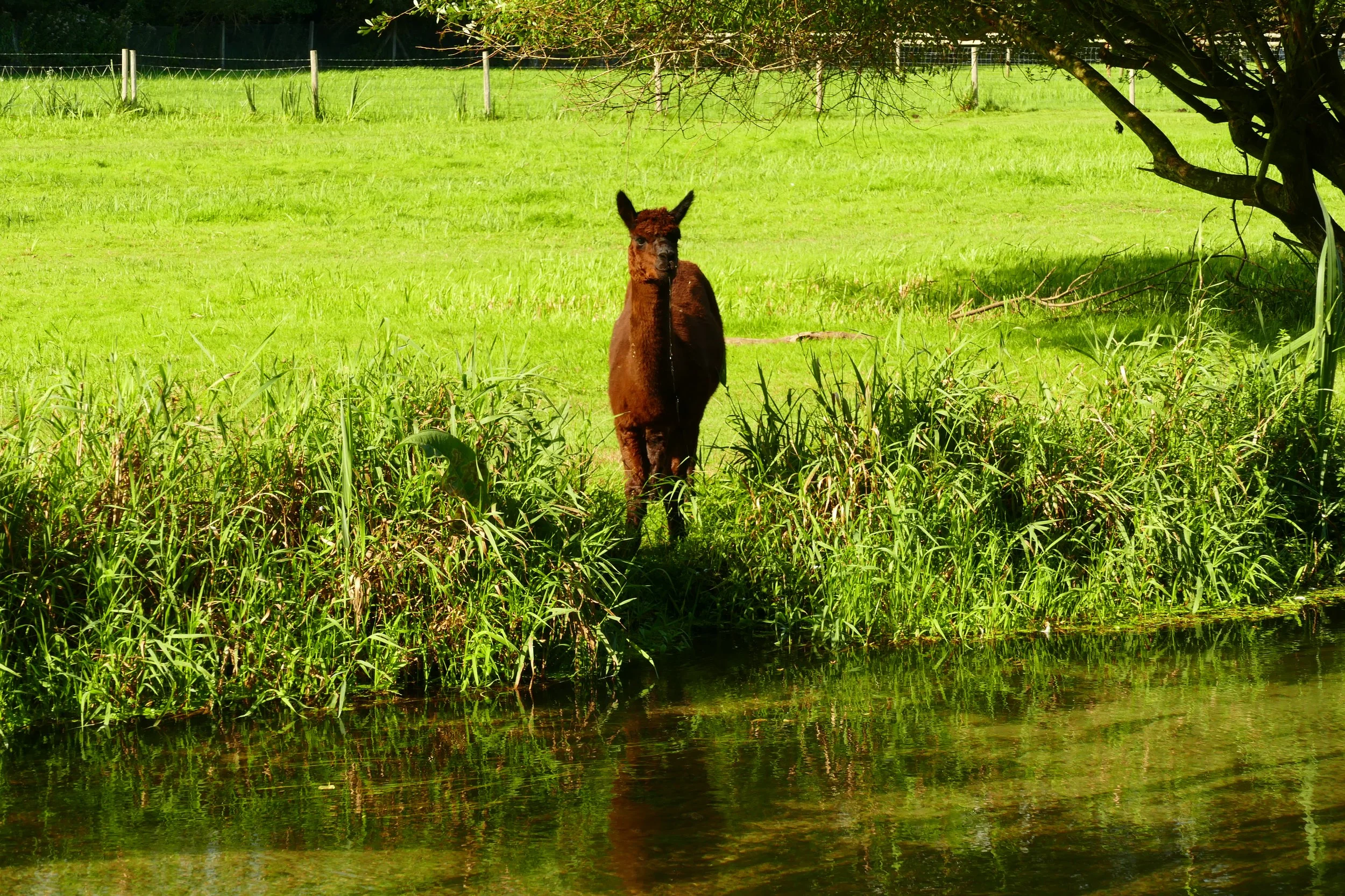
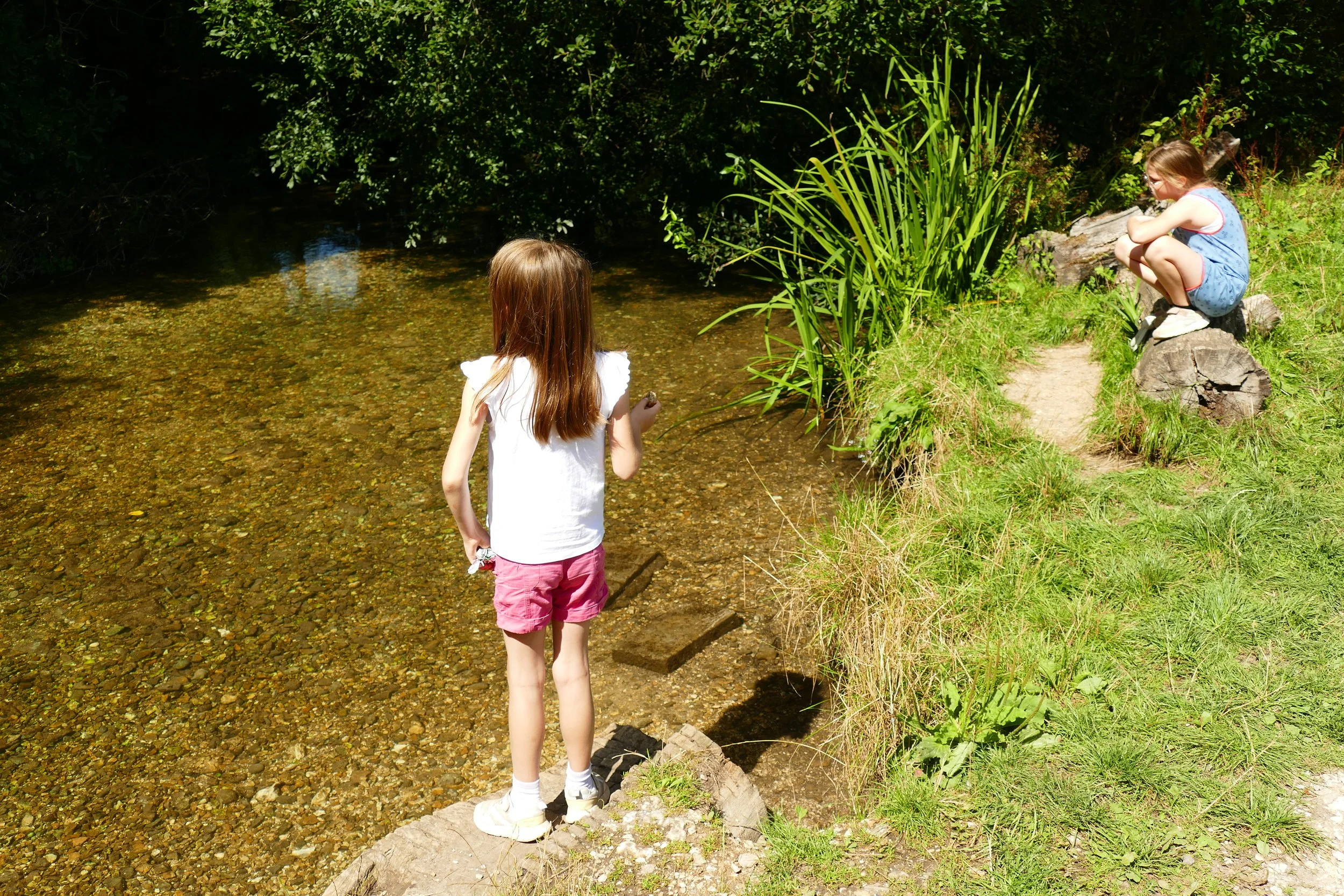
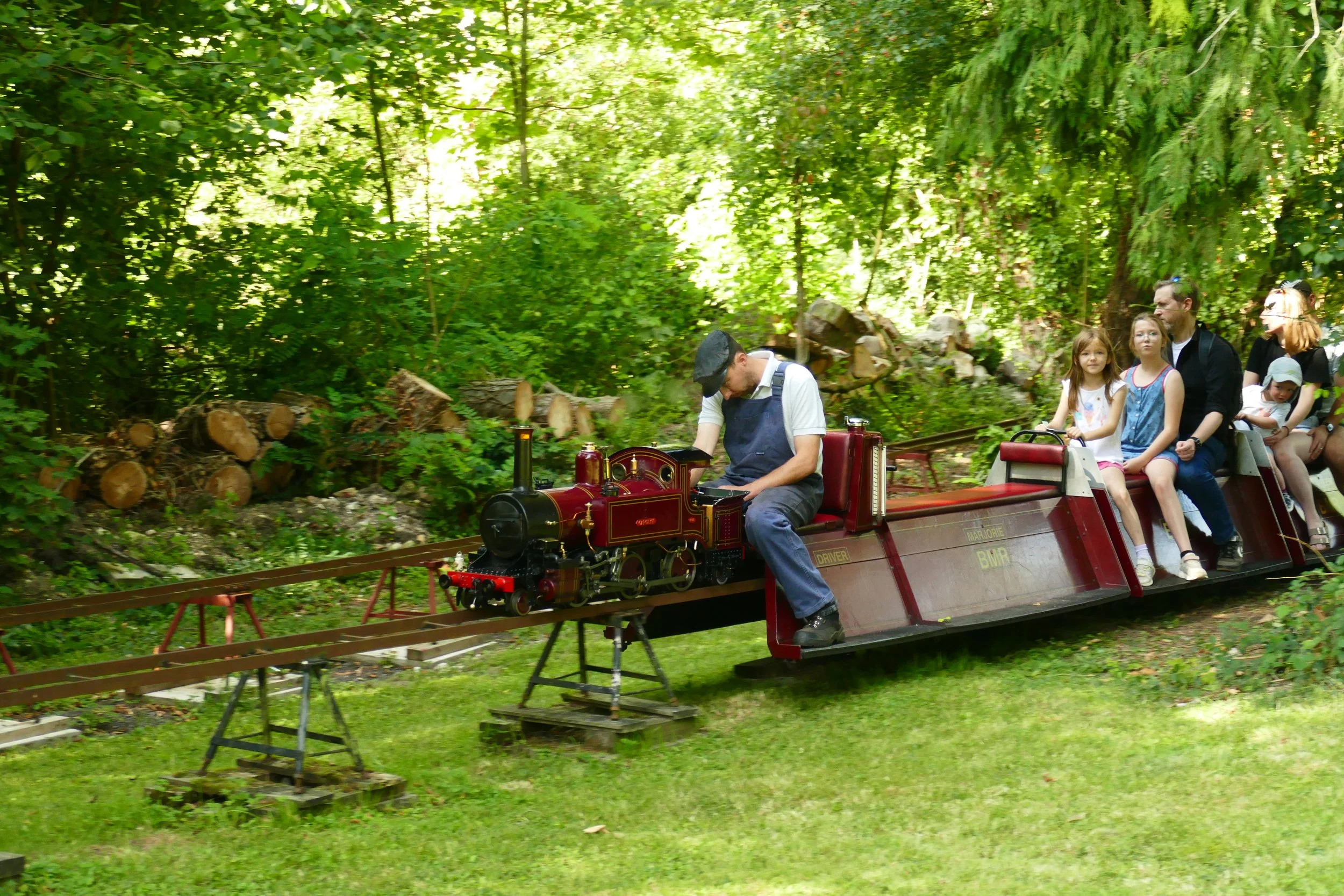
Children will enjoy spotting wildlife in the river, a ‘waterfall’, a miniature train and a small play area on this walk.

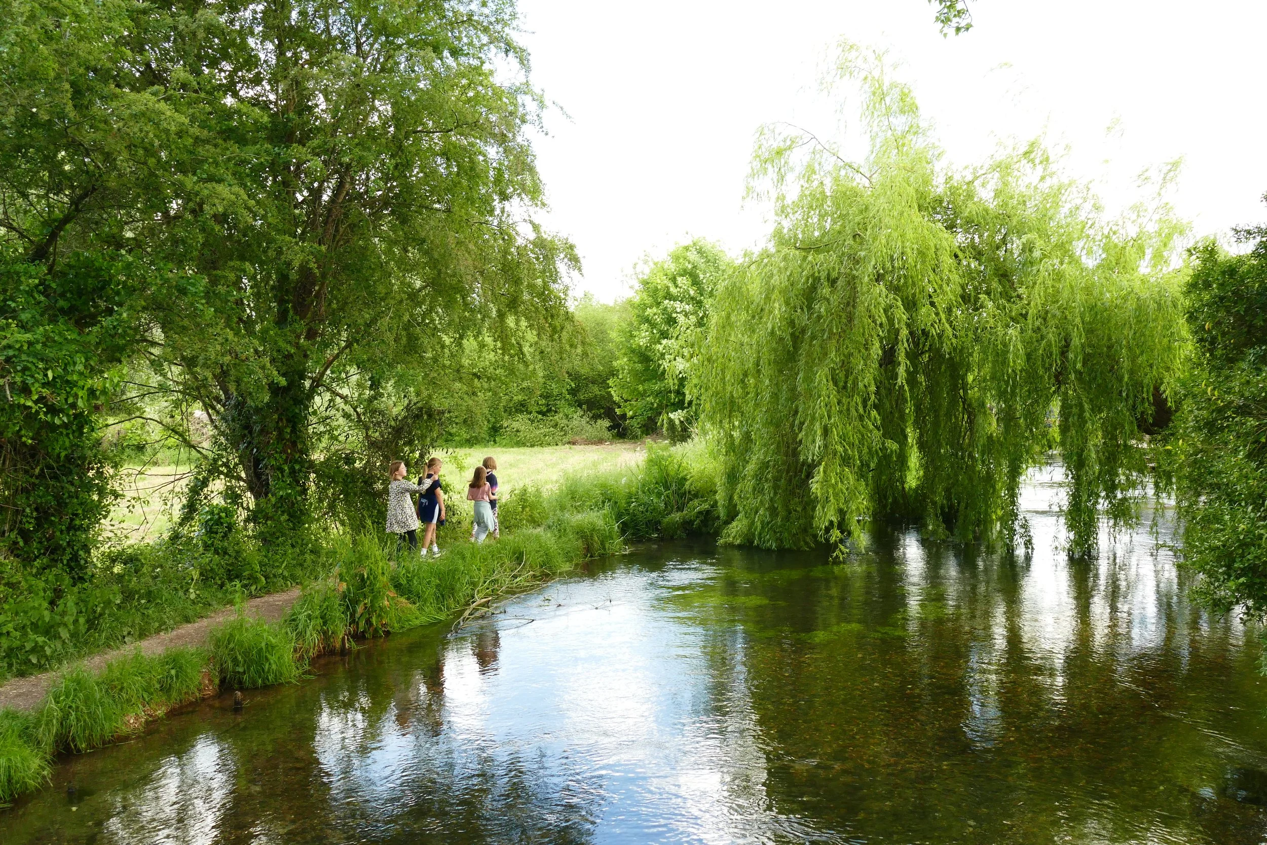
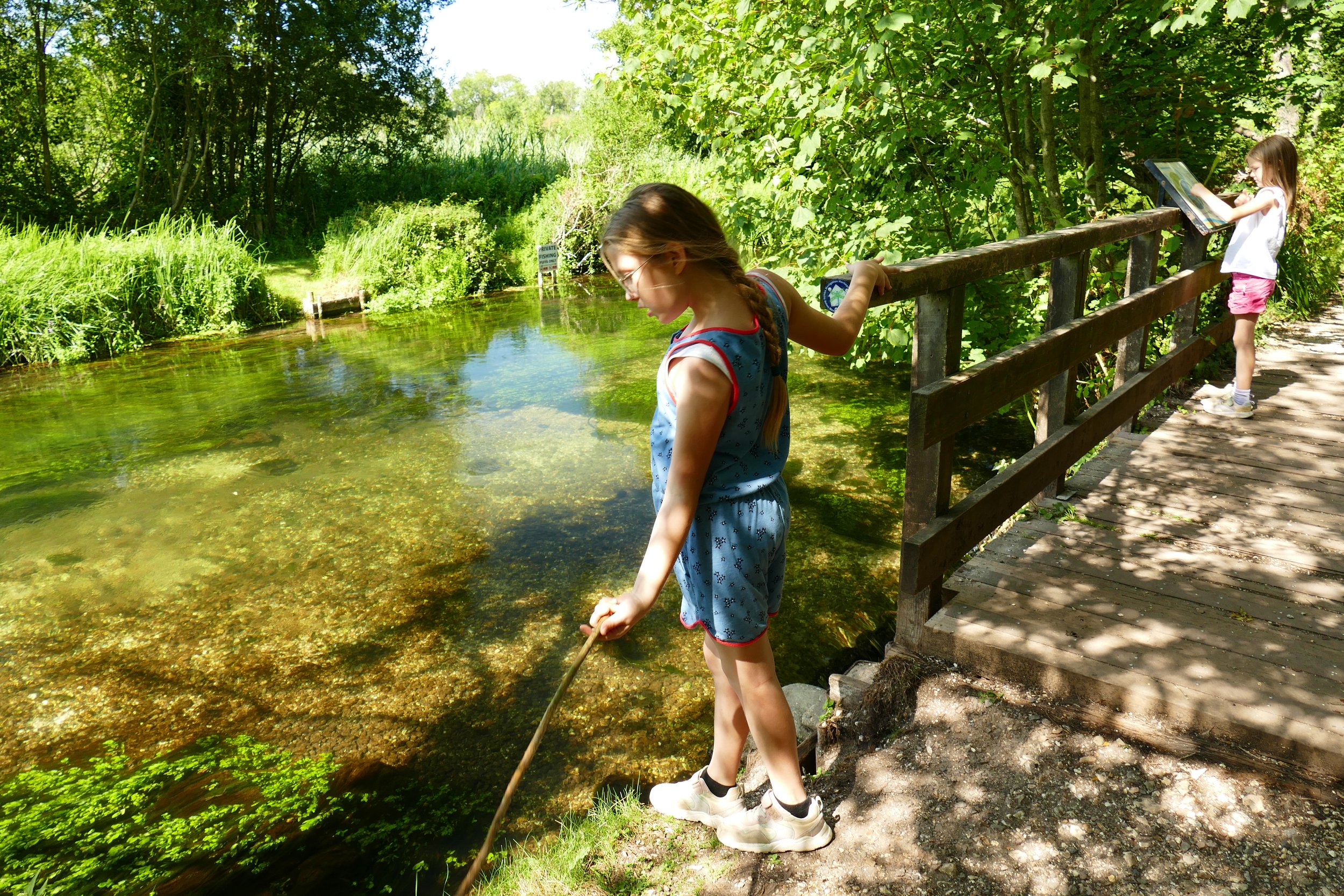
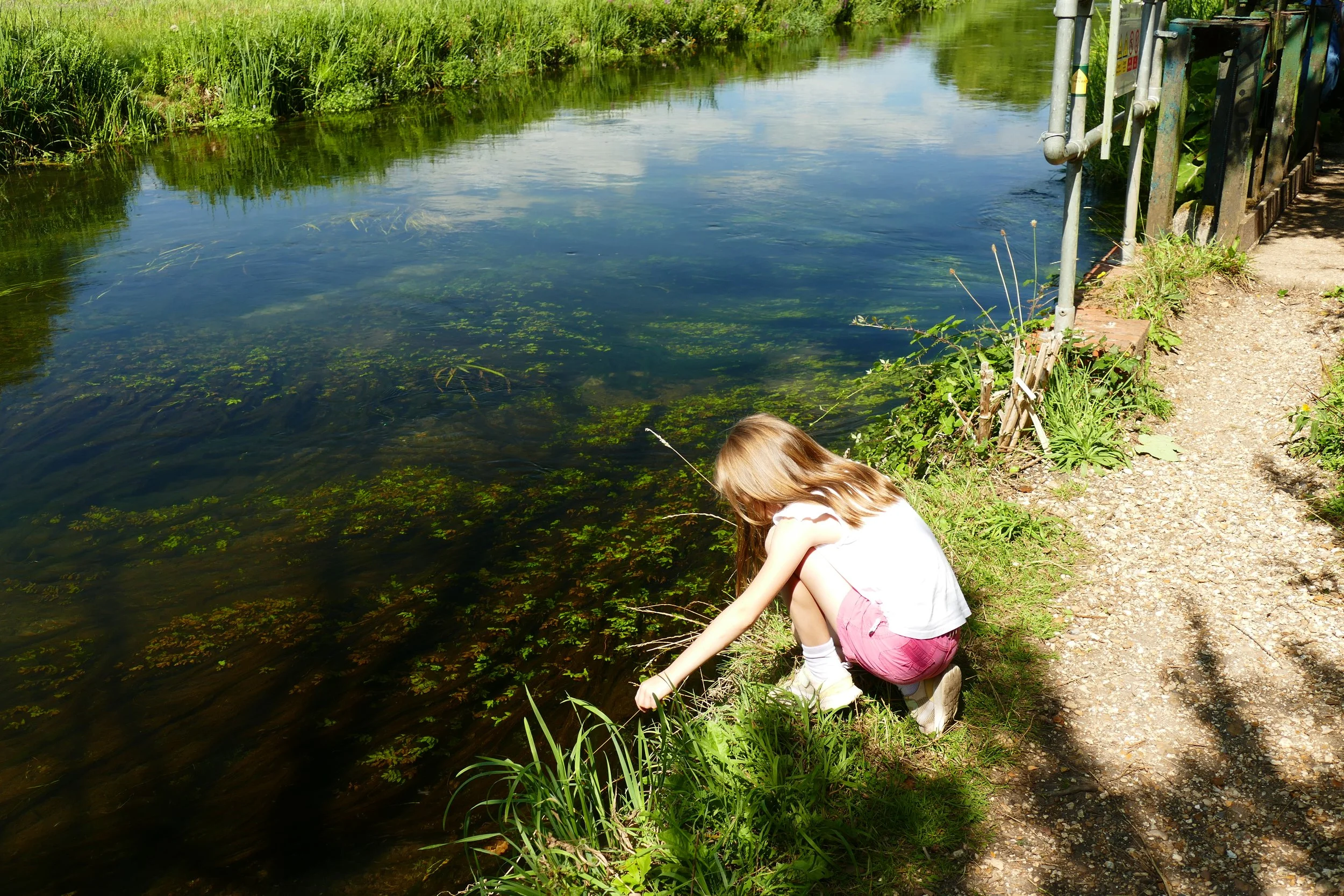
A little bridge provides a vantage point for spotting wildlife in the Itchen Navigation
The Basics
Time: 1 hour 30 minutes
Distance: 5.1 km / 3.2 miles
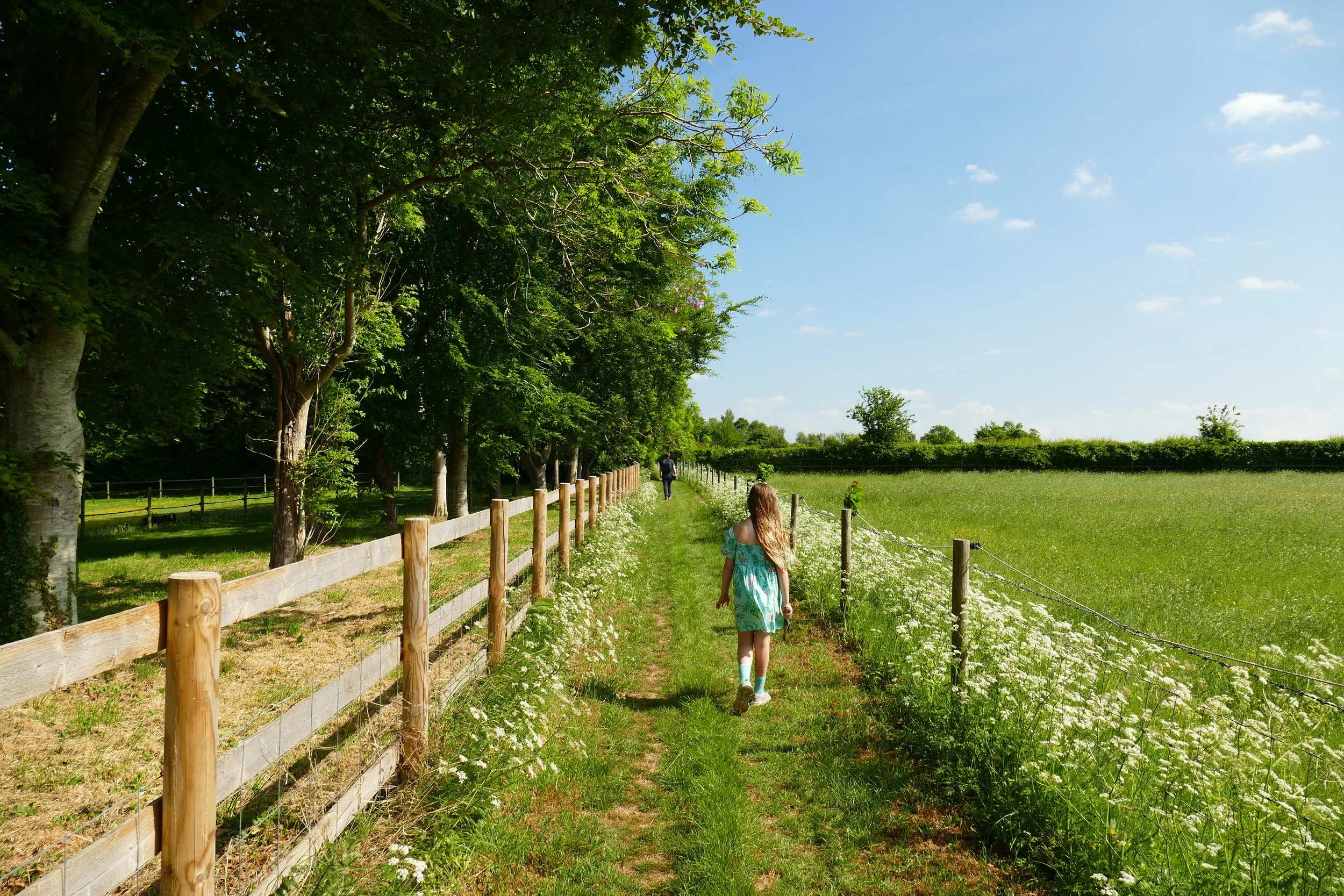
Terrain: Uneven riverside paths that can be narrow due to vegetation in summer, a field, woodland, a stile, a reedbed, short section on roads with pavement and a brief section on a road without a pavement. We have had difficulty with mud and flooding in winter on this route and recommend following it in the summer months only.
Pushchair: This route is not suitable for pushchairs.
Dogs: Dogs are welcome on this walk but should not enter the water due to conservation.
Refreshments: Brambridge Garden Centre, which has a restaurant or picnic tables in Allbrook Meadow.
Toilets: There are no public toilets unless you are a customer of the garden centre.
Public Transport: There is no public transport to this location.
Parking: Free parking can be found along the side of Pitmore Road, closer to the bottom is better (Postcode: SO50 4LS - W3W - ///cape.star.expose)

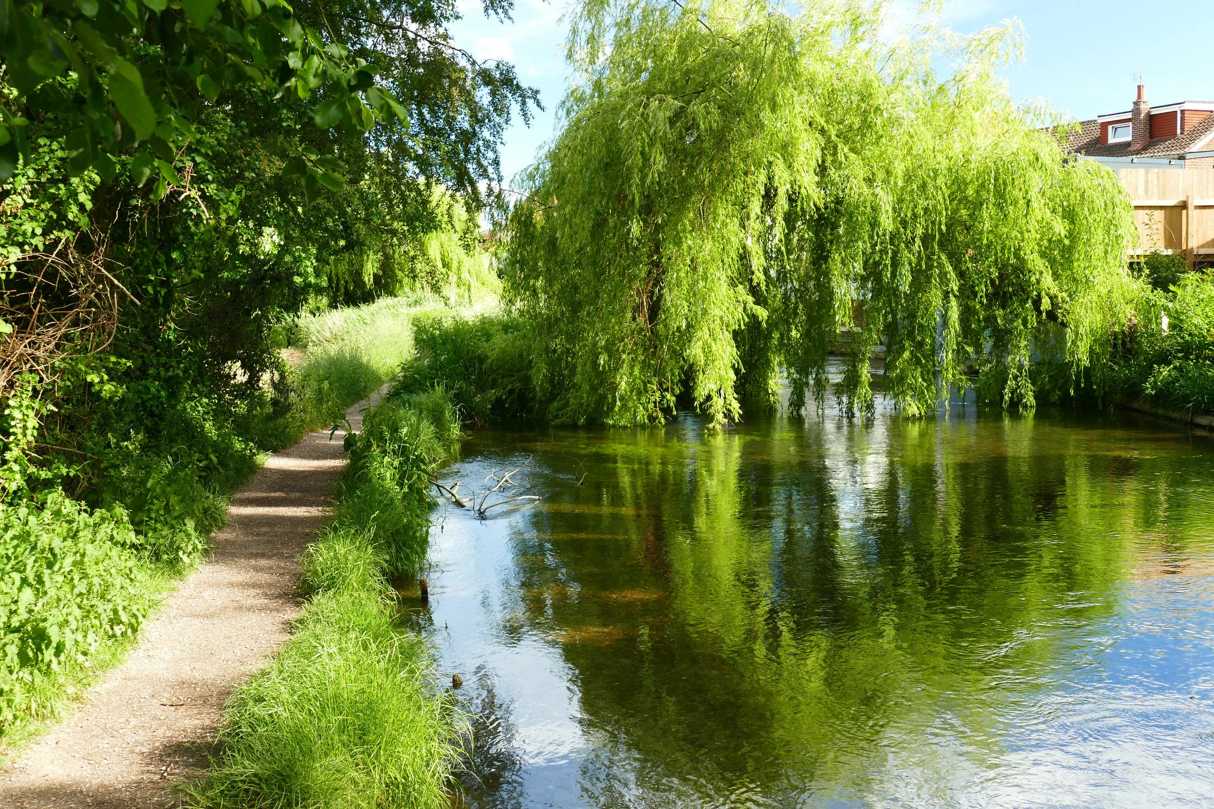
The clear waters of The Itchen
This has been one of our most popular walks to date, and it is easy to see why. Follow beautiful River Itchen with its crystal clear, wildlife rich water for the first leg, before making an optional diversion to a garden centre café with a miniature steam railway. On the way home, the route takes you through woodland before passing a meadow with a small play and picnic area.
The Route
1. Turn left at the bottom of Pitmore Road onto Highbridge Road. Walk along the pavement and go under the railway bridge. Look for the gushing water of Allbrook Lock on your left.
2. Immediately after the lock, turn left and join the footpath. Walk with the water of the Itchen Navigation to your left for 1.5 km until you reach Kiln Lane*.
3. Turn left over the bridge and then immediately re-join the path on your right. The water will now be on your right. Walk past wooden fence panels, over a boardwalk and past a weir.
4. A few metres after a concrete bridge to your right, look for a footpath heading away from the river, down a bank into trees. It is hard to spot, but a clue is a yellow arrow painted on a tree. Follow the path through trees before crossing a reed bed and then back into trees. When the path forks, take the left path and then at the junction, go left again.
5. Walk with the railway close to your right and turn right when you see the tunnel. Go through the tunnel and turn immediately left, now walking with the tracks to your left. The narrow path will open out into a graveyard. Cross the graveyard and join Kiln Lane again.
6. Turn right and shortly you will see an entrance on your left and a tree with a ‘private’ sign tacked on. Go over the stile next to a large gate and follow the worn path across the middle of a field.
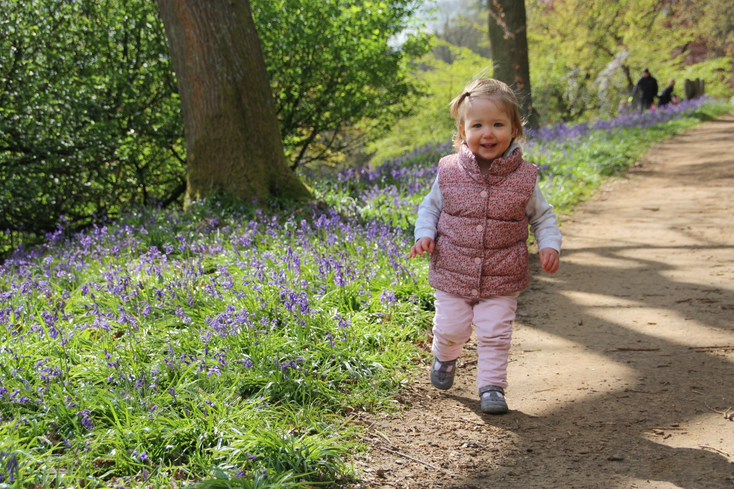
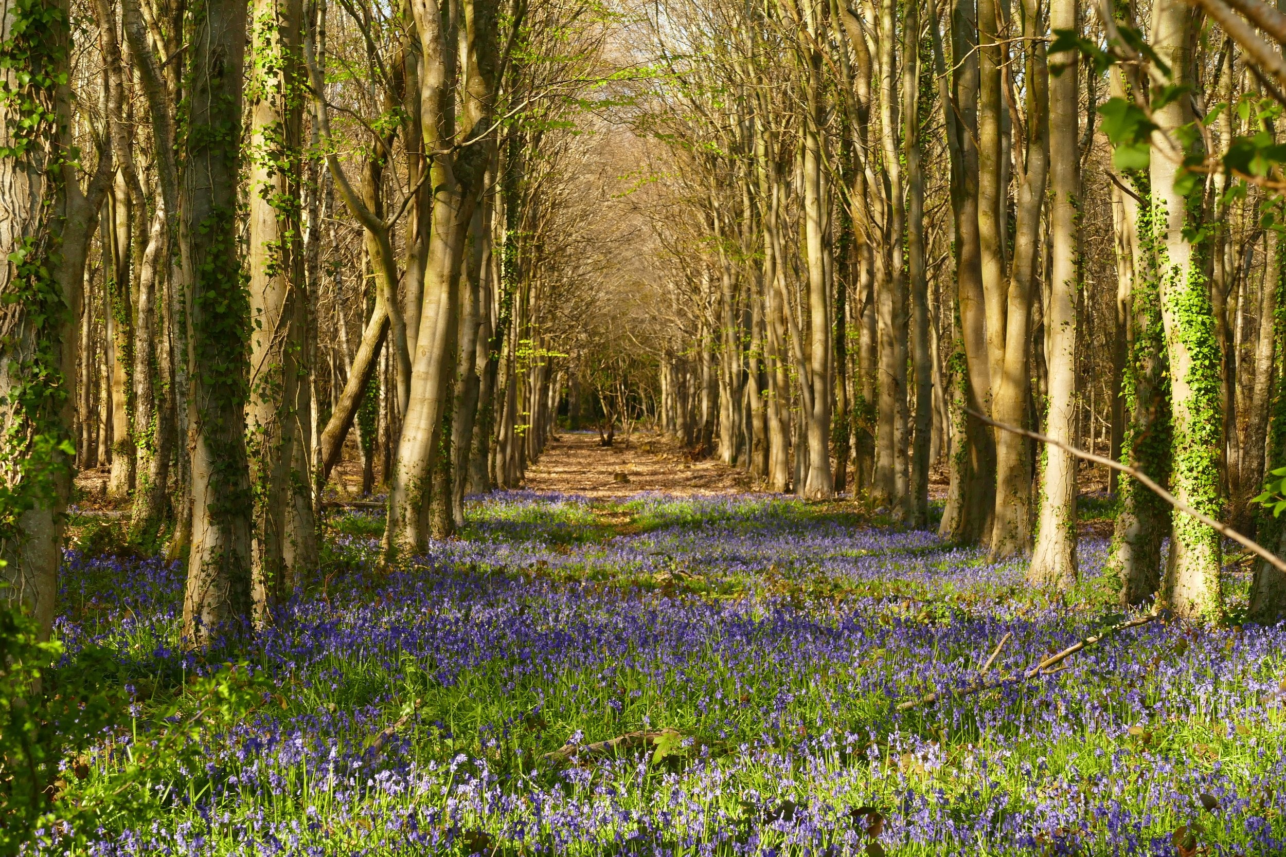
7. At the other side, go over a wooden railway sleeper and into Otterbourne Park Woods. Follow the first yellow marker and then fork left. Keep the edge of the woodland and glimpses of the fields beyond to your left. Cross a stream using another railway sleeper. The path will climb slightly and when it flattens again the yellow marker will guide you left over a little bridge. At the next marker, veer left. Descend down to your left until you almost touch the boundary fence, then veer right and walk with the fence to your left. Go through a rusted metal gateway. To the left will be some coniferous trees, follow the path as it veers to the right, up and away from them. At the top of the path, you will hit a vehicle track.
8. Turn left down the track which will lead you to Pitmore Road. Just before you get to the road, look out on your left for an opening into Allbrook Meadow, where there are picnic tables and a small children’s play area.
* If you want refreshments, you could take a diversion to Brambridge Garden Centre which has a café as well as a miniature steam railway (weekends, £1.90). A few metres before before you reach Kiln Lane, head right through the trees on an unofficial path and go up the bank to join the road. Veer right at the road and go over the bridge. You will see the entrance on the other side. If this shortcut is too muddy, you will need to walk along Kiln Lane to reach it.
Please note that parts of the path after Kiln Lane in section three above is prone to flooding in periods of wet weather. It can be impassable, even in wellies. In this event, head back to Kiln Lane and walk along the road to re-join the walk at section five.
Gain access to the member's only area of our website where you will find the complete A-Z library of all our PDF files. This includes over 220 self-guided walks ready to print or download, as well as various children's activity sheets. You will also find a digital membership card, giving you access to our current discounts.


Did you know?
As the name of this trail suggests, Otters do live on the Itchen but they tend to be active at night, when they hunt the waters for eel and other fish, so it is unlikely that you will see one. During the day they lie up in sheltered ‘holts’, such as under tree roots near the river.
If you enjoyed this walk…
…try walking along the Itchen Way in the other direction to Bishopstoke
We are passionate about keeping The Ambling Path as a free resource available to everyone, forever. If you have enjoyed using our walking guides, then please consider leaving us a donation. This will help to cover our costs as well as rewarding the considerable time and effort needed to maintain the site. Thank you.