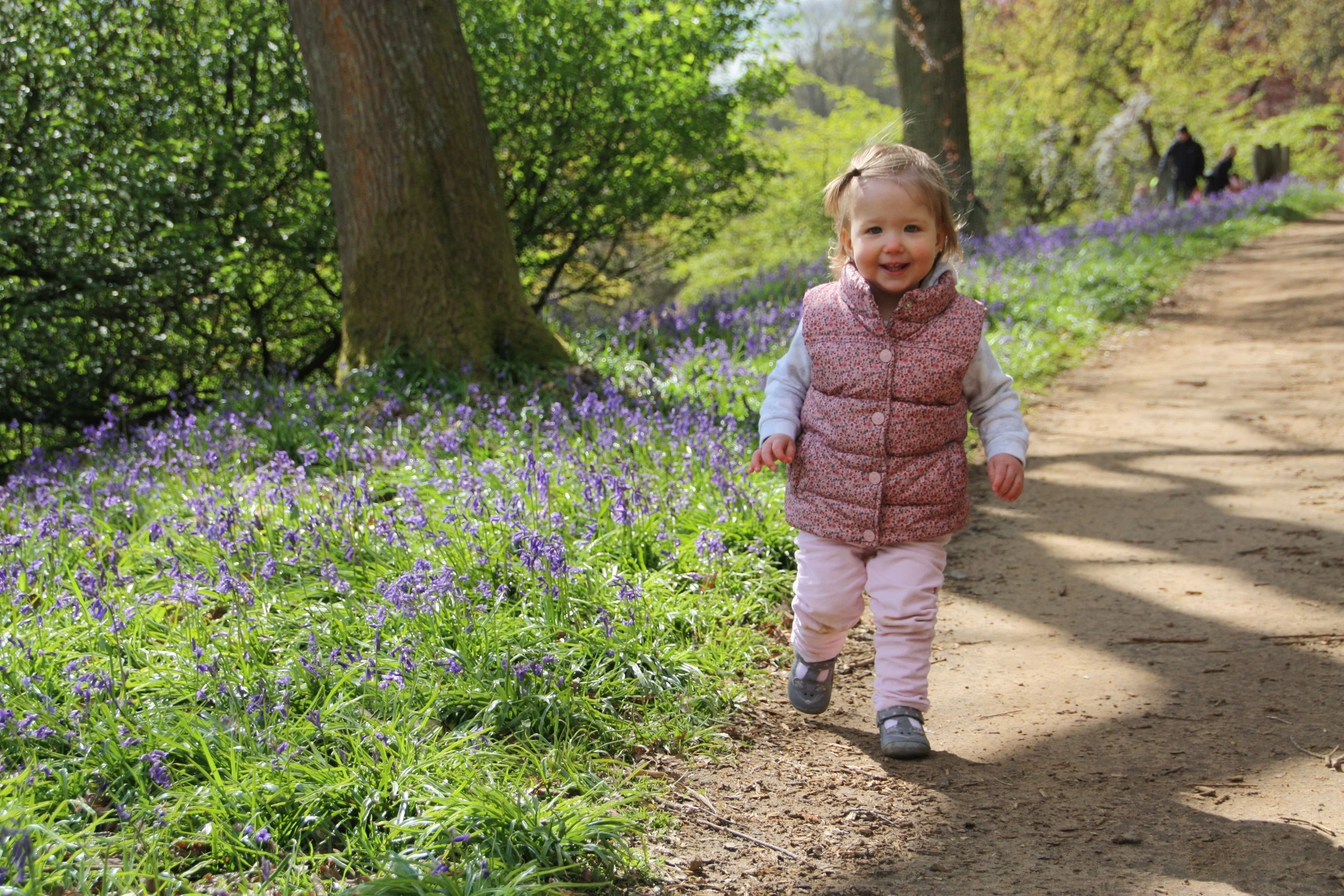
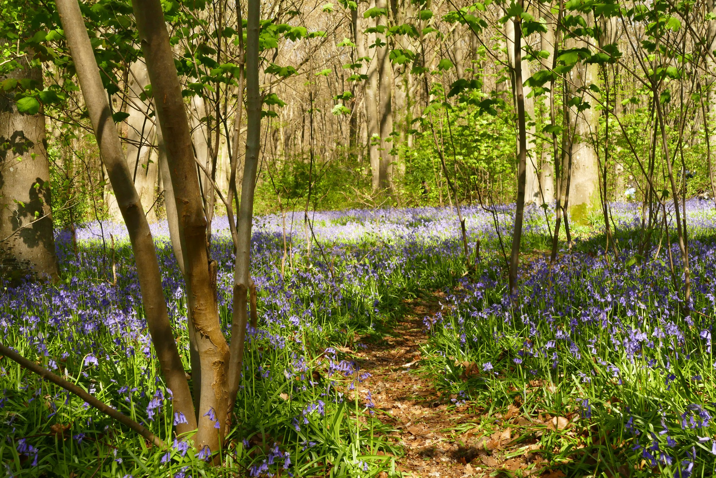
Micheldever Wood
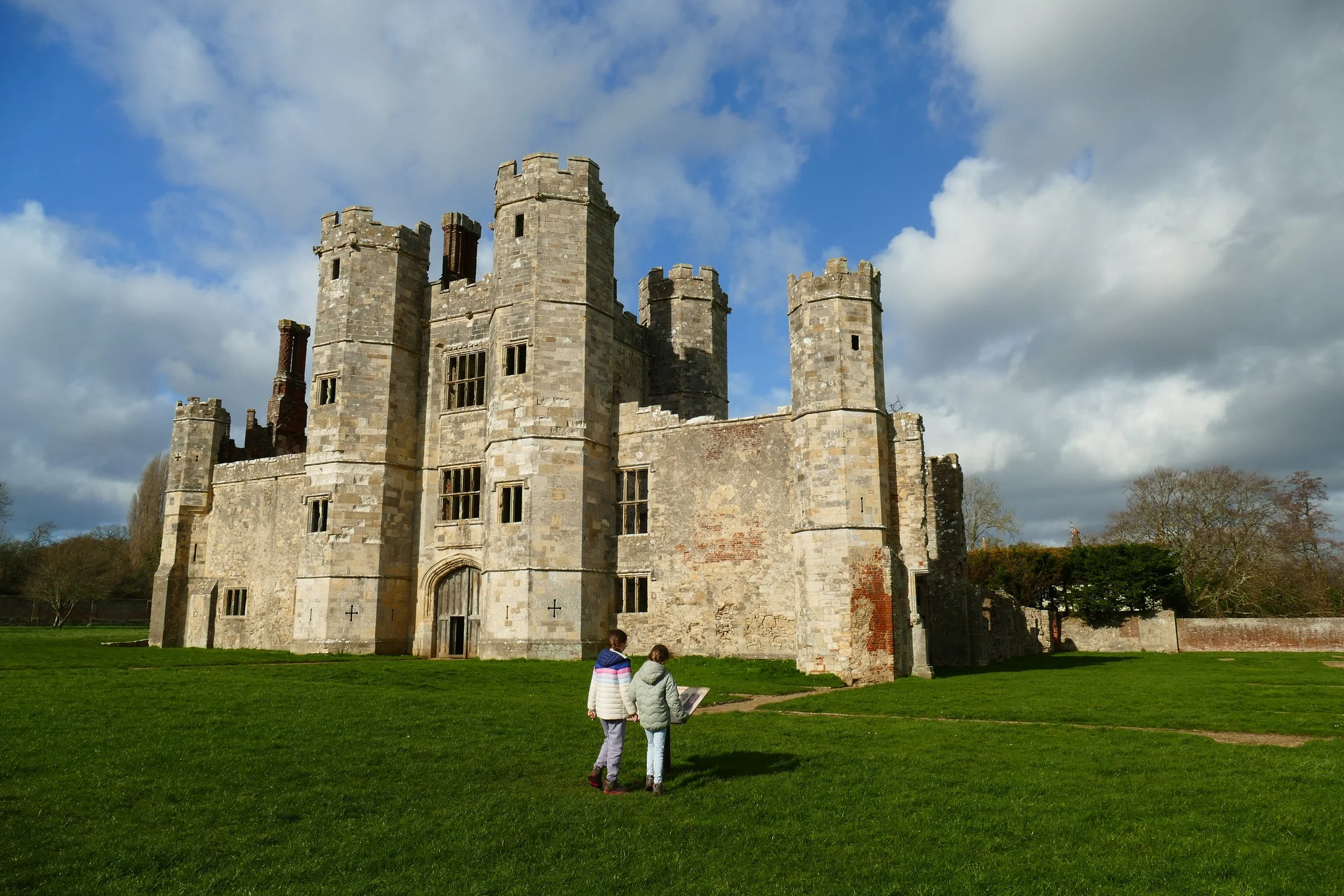
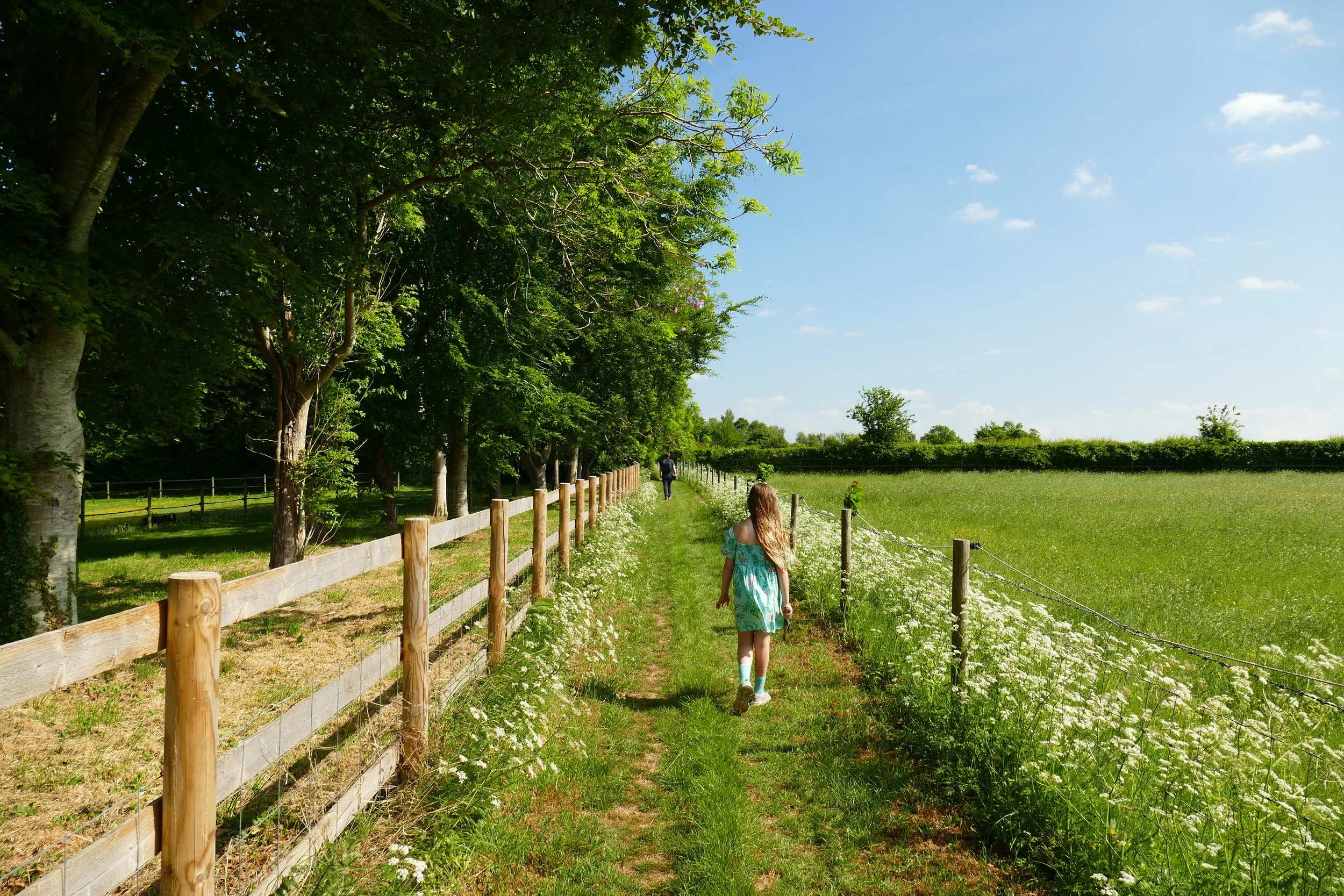
Alresford
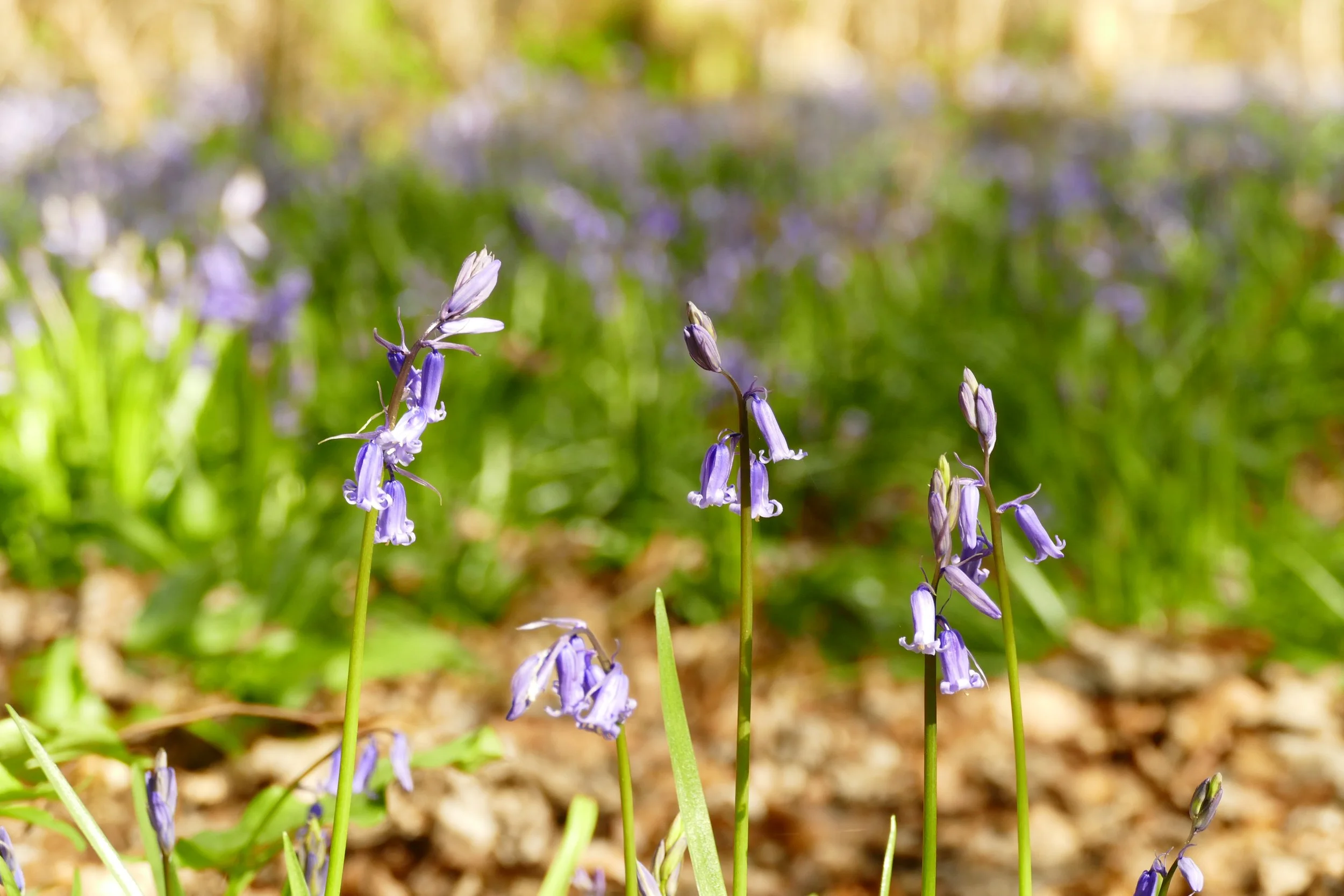
Children will enjoy exploring acres of open access ancient woodland on this walk, some interesting archeological features and the spectacle of the bluebells in Spring.

Micheldever Wood is probably the best known site for finding bluebells in Hampshire
The Basics
Time: 45 minutes
Distance: 2.9 km / 1.8 miles
Terrain: A mixture of well surfaced forestry tracks and uneven, sometimes muddy woodland paths.
Pushchair: The forestry tracks are suitable for pushchairs - you may need to adapt the route.
Dogs: Dogs are welcome.
Refreshments: There are no refreshments at the woodland, but there is a picnic area with few tables.
Toilets: There are no public toilets.
Public Transport: There is no public transport to this location.
Parking: Free car park off Northington Lane, which does fill up in peak bluebell season but usually has plenty of space the rest of the year (Postcode: SO24 9UB - W3W: ///helped.keep.bandstand)

Just north of Winchester, this woodland is one of the finest places in Hampshire to enjoy spring bluebells. The rest of the year, you can enjoy some interesting archaeological features, the colours of autumn and the resident muntjac deer population.
The Route
Enter the woods by the information board and turn immediately right. Follow the wide forestry track as it gently makes its way up hill. When you come to a clearing, interpretation boards will describe the first archaeological feature to your right - a banjo enclosure. After learning about this, continue straight on.
After the clearing, tall conifers will line the path to your left. Look for the next left turn and take this into the trees*. Shortly, you will find the next archaeological feature, a Bronze Age burial mound. Soon after this, turn right at the blue arrow on a tree stump. Continue forward, and at a blue arrow on a branch on the ground, turn right. Continue and then cross the track, bearing right at the next blue arrow.
Turn left at the junction with a blue arrow on a tree stump. In a few metres, you will reach the third archaeological feature, a bowl barrow. Turn left after viewing the interpretation board. You will hear the roar of the M3 away to your right. Continue straight through the beech trees and over some uneven ground.
At a meeting of paths with a log bench, take the right hand one of the two gravelled tracks. Follow this path in a straight line to return to the car park.
*this path may become too narrow and uneven for some pushchairs. In which case, take the third left after the clearing and follow this path in straight line and re-join the walk at step 3.
Gain access to the member's only area of our website where you will find the complete A-Z library of all our PDF files. This includes over 220 self-guided walks ready to print or download, as well as various children's activity sheets. You will also find a digital membership card, giving you access to our current discounts.


Did you know?
The archaeological features, preserved for many centuries by the woodland, include:
A Bronze Age cross dyke which is thought to mark a territorial boundary.
A linear earthwork running west–east across the wood.
Two banjo enclosures which are regarded as dwelling places or stock enclosures of the Iron Age.
Micheldever Wood can get busy during ‘peak bluebell time’, but did you know that just across the road is Itchen Wood? It is a much quieter place to walk and you will still see plenty of bluebells. Please note that unlike Micheldever, Itchen Wood is a private woodland, so you will need to stick to the public rights of way.
The Basics
Time: 1 hour
Distance: 3.7 km / 2.3 miles
Terrain: Mostly on rough and uneven woodland paths that can be boggy, one stretch on a firm access track and a section on roads with no pavement.
Pushchair: This route is not suitable for pushchairs.
Dogs: Dogs are welcome but must stay on the rights of way.
The Route
Leave the car park towards the road and turn right. Walk along the side of the road until you almost reach the bridge under the motorway.
Just before the motorway, turn left up the restricted byway, where it also says ‘fire path’. Follow this path in a straight line with the private woods to your left and the motorway to you right. Continue past the services over the fence to your right.
After the services, and when the sound of the motorway begins to fade behind you, look for a footpath/permissive byway on your left. The path is much smaller than the one you will currently be on and it is hard to spot owing to the fact that the finger post has fallen down and is now leaning up against a tree! A clue that you are turning at the right place will also be the forestry work signs. Walk with the woodland to your left and fields just visible through the trees to your right.
When you reach a metal barrier, carry on straight. The path will become gradually less distinct as you walk through the trees and at a small fork, keep left. The ground will become boggier until you reach a field over the fence to your left. Keep bearing right here with the barbed wire fence to your left.
When the field ends, you will come to a cross path. Go straight across and continue through the woodland. About ten metres after you pass a little panel of fencing on your right with just three rails and three posts, look for a small fork behind a tree. Take the skinnier fork to your left. Bear left again when you reach a slightly firmer and wider path. The beech trees will be to your left and views of open fields through trees to your right. Continue until you reach the road, where you should turn left to return to the car park.

If you liked this walk…
…try this one at Blackwood Forest which is a nearby forest, also with lots of bluebells and a café and play area.
We are passionate about keeping The Ambling Path as a free resource available to everyone, forever. If you have enjoyed using our walking guides, then please consider leaving us a donation. This will help to cover our costs as well as rewarding the considerable time and effort needed to maintain the site. Thank you.
Follow us on social media to see our new walks and get regular updates on our old ones: