Ashford Hangers
Steep, Petersfield
Children will enjoy a waterfall and a little play area on the edge of a woodland on this walk.

The views from the Poet’s Stone are phenomenal and is easy to see why this place is known as ‘Little Switzerland’.
The Basics
Time: The complete loop is 2 hrs 10 mins, but there are options for making it shorter.
Distance: The complete loop is 6.2 km/3.9 m, but there are options for making it shorter.
Terrain: All options have very steep ascents and descents, stiles (dog flaps) and sections on quiet country lanes.
Pushchair: This route is not suitable for pushchairs.
Dogs: Dogs are welcome, but need to be on leads through fields with livestock.
Refreshments: There are no refreshments directly on the walk, although Steep does have a pub, The Cricketers, that you could divert to. There are also picnic tables in the park.
Toilets: There are no public toilets on this route.
Public Transport: There is no suitable public transport to this location.
Parking: Small, free parking area on Cottage Lane: Follow Mill Lane north out of Steep and take the turning to Hawkley/Priors Dean. The parking is on your left just past the bend -see notes below if this is full. (Postcode: GU33 6LN - W3W: stems/paramedic/superbly)

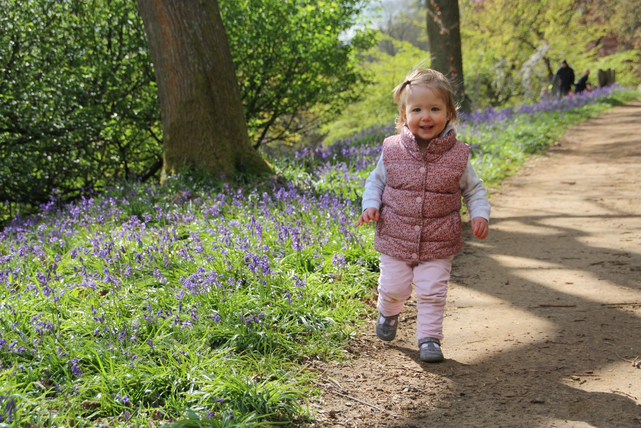
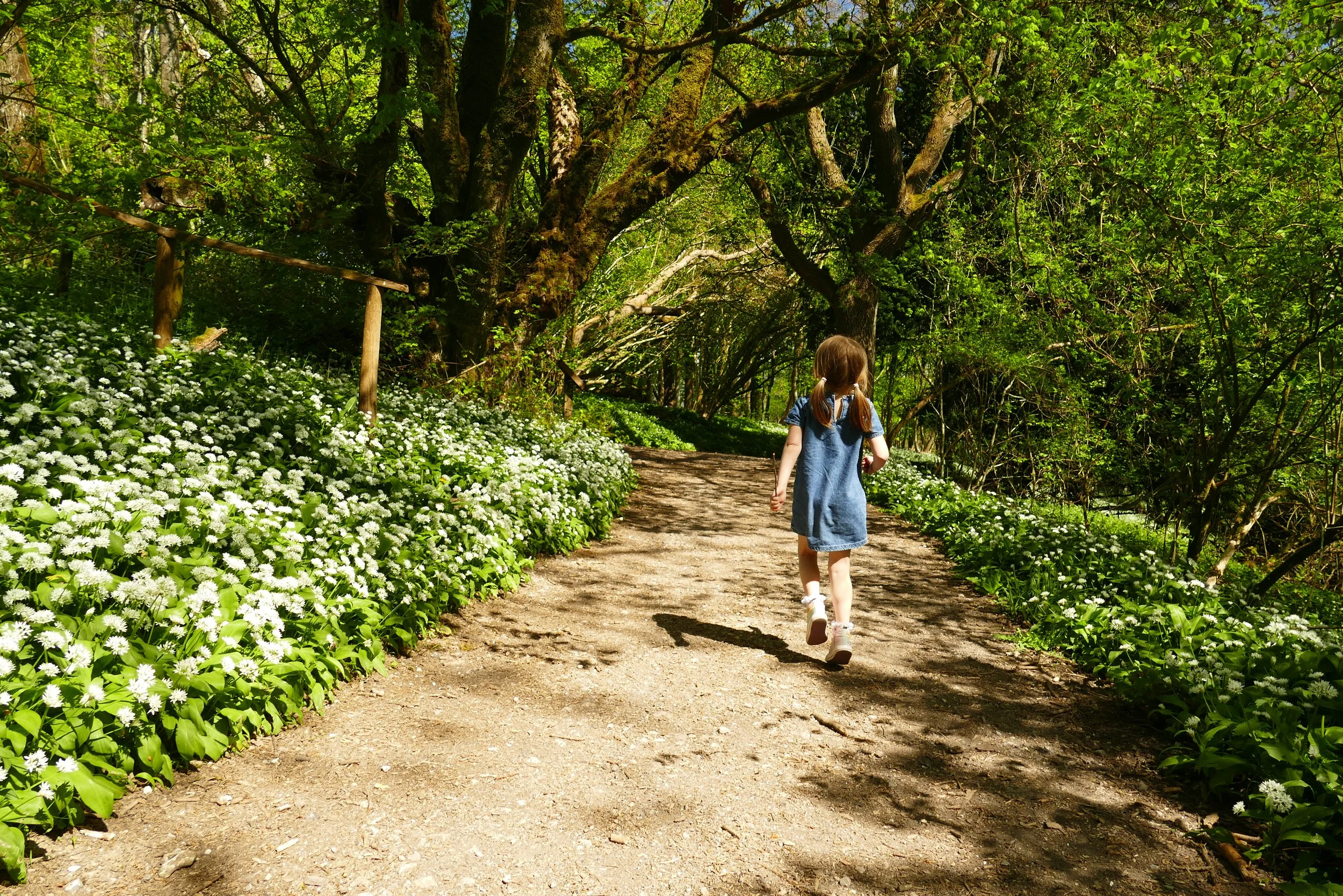
The Hangers are full of wild garlic in spring
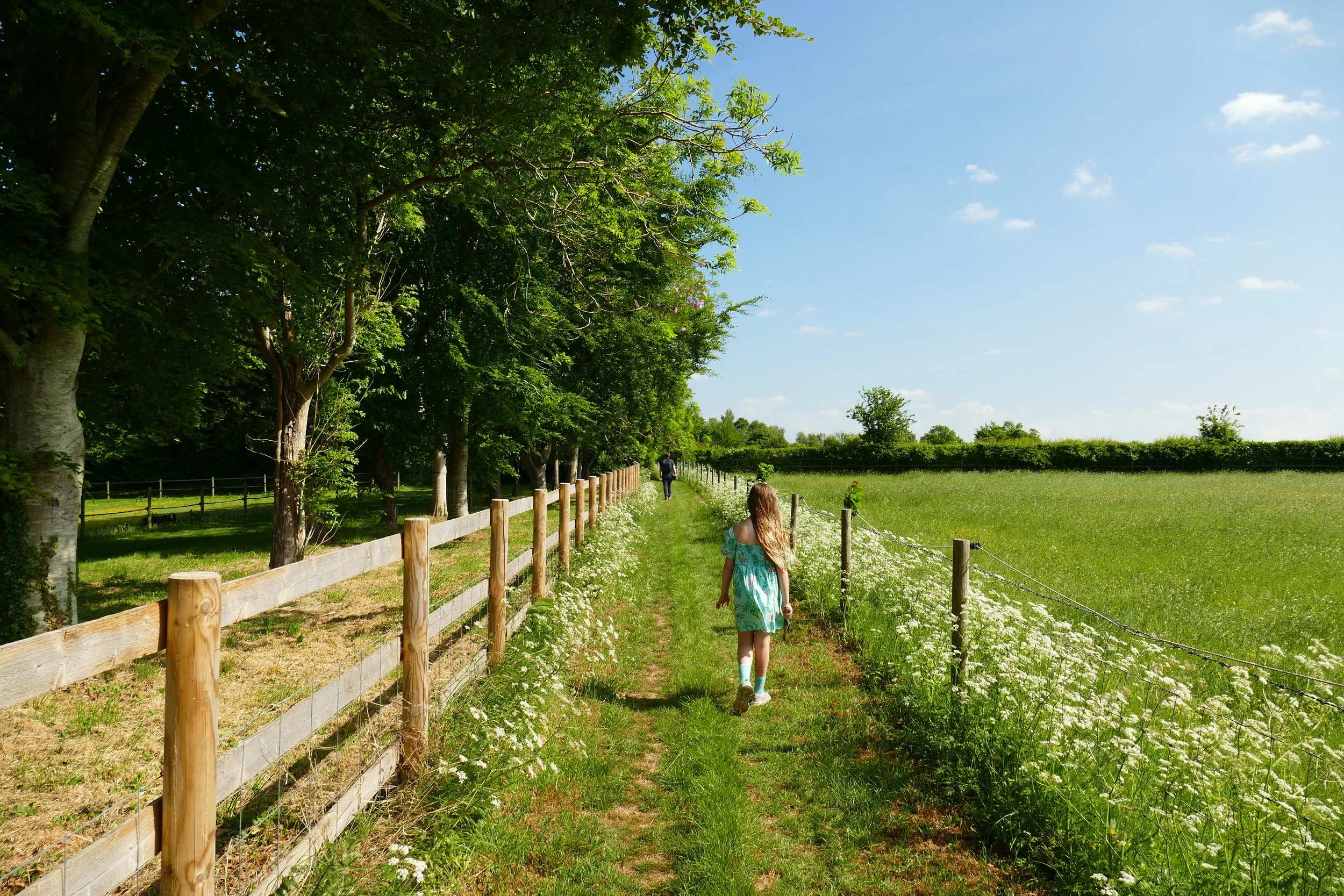
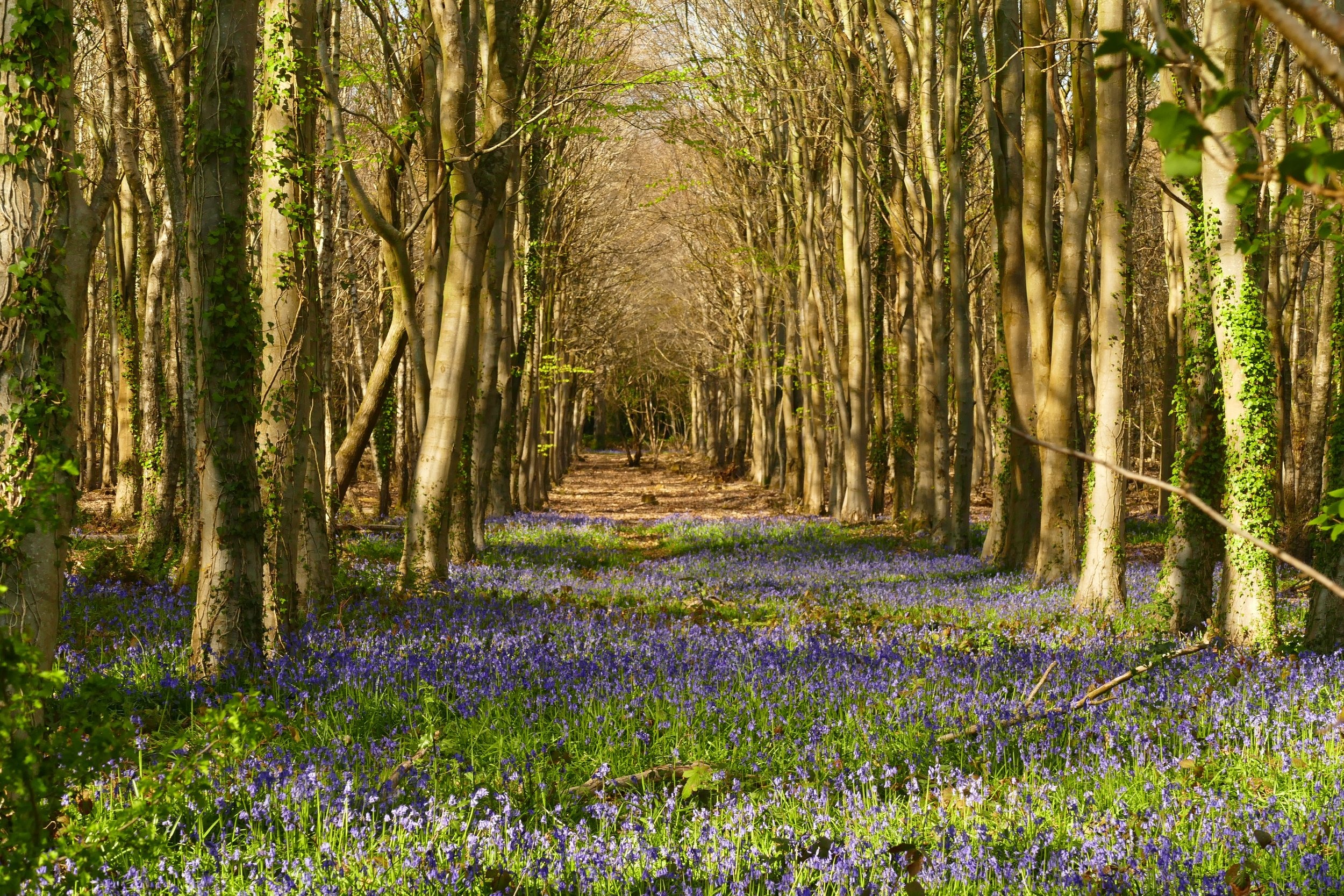
Ashford Hangers comprises 323 acres of wooded hillside, much of it beech trees that provide the perfect habitat for banks of wild garlic. The views from the top are well worth the climb and you will soon see why this place is known as Little Switzerland. This walk has plenty of other surprises too, including a waterfall, bluebells and a pretty woodside park.
Notes
Please note, this is a route with some steep hills and may not be suitable for younger children or the less mobile.
The parking area is very small. If it is full, do not park on the lane. You can find on street parking near the church and school in Steep and if you park there, we suggest starting the walk from section six below. This recommendation is also good if you would rather start your walk with most of the uphill section and get it over with, rather than wait until the end of the walk!
The Route
1. From the parking area, go around the gate and head upwards. The path is initially very steep, but soon levels out. As it does, look to your right for steps to Cobbet’s View, which is worth the short diversion. Return to the path and continue until a path on your left marked by two gate posts with no gate. Follow this path a bench and the Shoulder of Mutton viewpoint.
2. Take the path in front of the bench through a gap in the fence. Pass Poet’s Stone and another bench and go straight down the hill. It is steep, but steps have been cut into the turf. At the bottom, go down more steps and come to a cross path. Keep straight and go through the post and rail fence. Enter a field and keep to the right hand side.
3. At the road, turn right and then immediately left at a post for ‘The Waterhouse’. At the gateway to The Waterhouse, veer left and cross a stream. Follow the path and just after the ‘Little Langley Conservation Area’, turn right over the bridge and pass through an arched hedge to reach the waterfall.
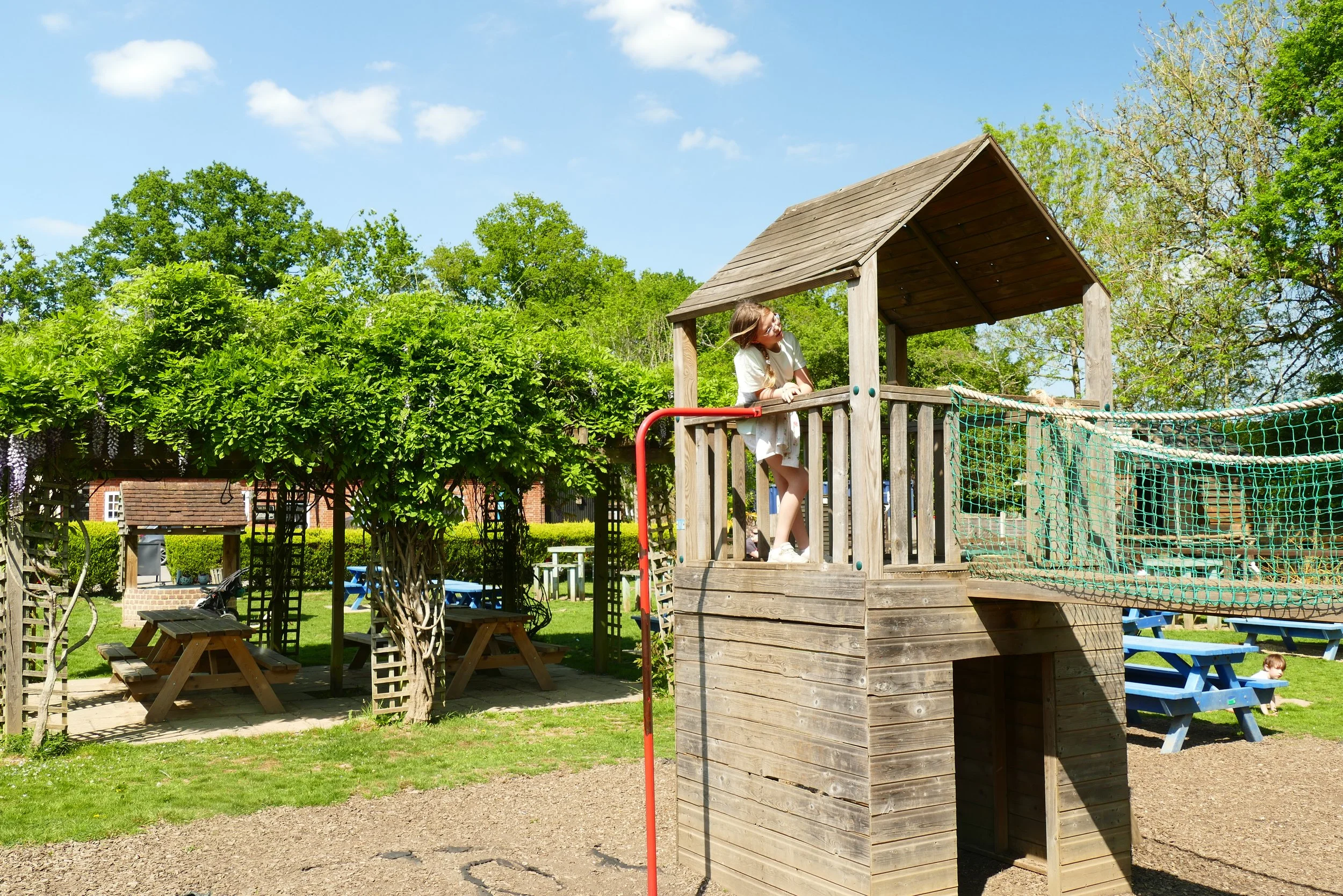
4. Turn right at the road and follow it uphill. Take the footpath into a field through a gate on your left. Follow the path along two sides of the field. At the end of the second side, veer right through a gate into woodland and cross a stream. Leave the woodland at a park with picnic benches, swings and climbing frame. Exit opposite the church.
5. Turn left at the road and then very soon, turn left back into the woodland. Keep to the right hand side with a raised bank to your right. Veer right on a little stony path and leave the woodland through a gate. Turn left and cross the field, going through two gates on the other side. Follow the path between fences around Steep Farm. Go straight across a gravel track and then turn left at the gates to Steep Farm. Veer left down an avenue of trees towards a stone bridge.
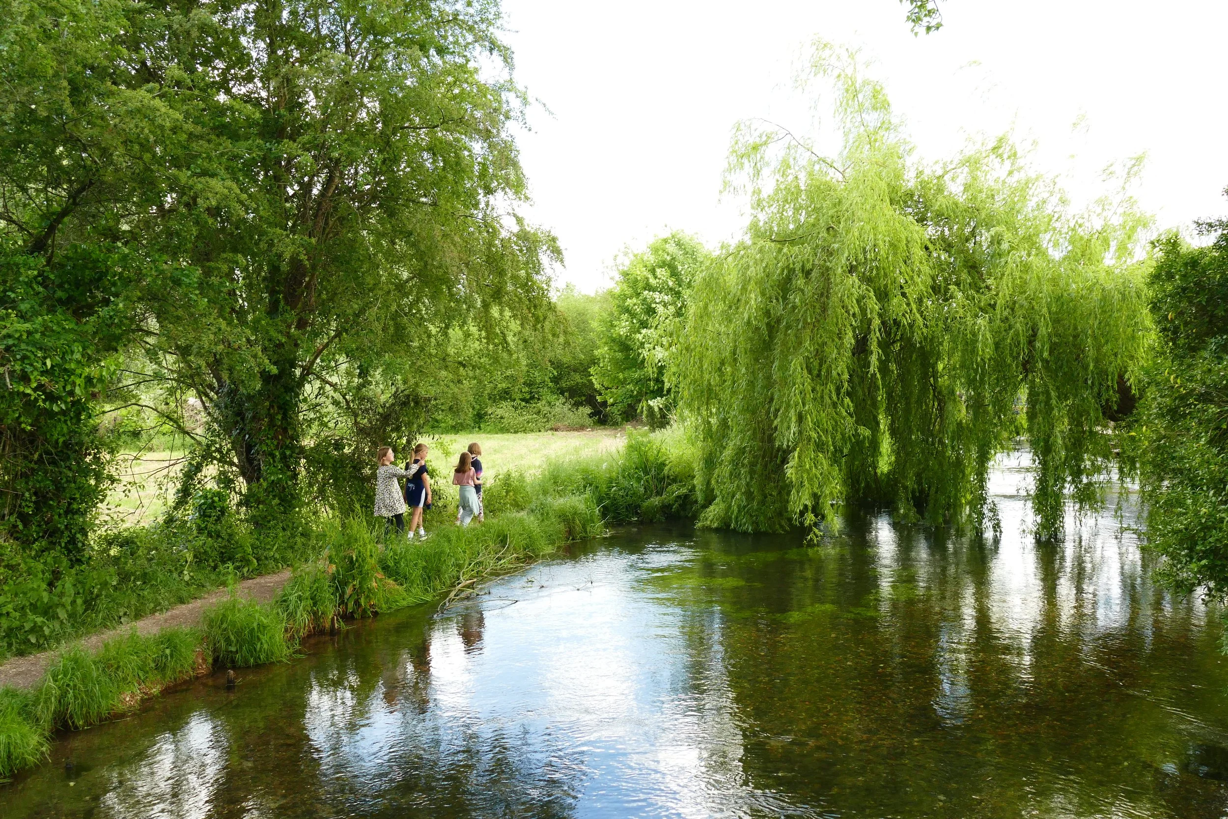
6. Turn immediately left after the bridge, facing a ‘private garden’ sign before turning right down the little path at the left side of the woodland. Walk with the stream to your right and follow the path through the trees until the steps.
7. Go up the steps and walk around the side of a paddock. Go over a stile and then cross the corner of a field to another stile. Turn left and follow the path around the farm, going over another stile. Keep left of the barn and then go over a stile. Follow the path along the right hand edge of a field to another stile. Take the narrow path to a kissing gate into the next field. Cross the field, following the telegraph poles to the gate on the other side. Go through the gate and keep going up until you reach Mill Lane.
8. Turn right at Mill Lane and walk until the road splits. Take the upper split and go over the stile on your left into a field. Take the next stile and follow a line of trees up to your final stile! Turn right and walk back down to your car.
Gain access to the member's only area of our website where you will find the complete A-Z library of all our PDF files. This includes over 220 self-guided walks ready to print or download, as well as various children's activity sheets. You will also find a digital membership card, giving you access to our current discounts.


Did you know?
The Poet’s Stone is a memorial to the poet Edward Thomas, who lived locally and often walked in the hangers until he died in the Battle of Arras in 1917.
The name 'Hanger' comes from the Old English 'hangra' meaning a wooded slope.

If you liked this walk…
…try this one at Idsworth which includes another woodland with an amazing display of wild garlic.
We are passionate about keeping The Ambling Path as a free resource available to everyone, forever. If you have enjoyed using our walking guides, then please consider leaving us a donation. This will help to cover our costs as well as rewarding the considerable time and effort needed to maintain the site. Thank you.
Follow us on social media to see our new walks and get regular updates on our old ones: