Dunsfold
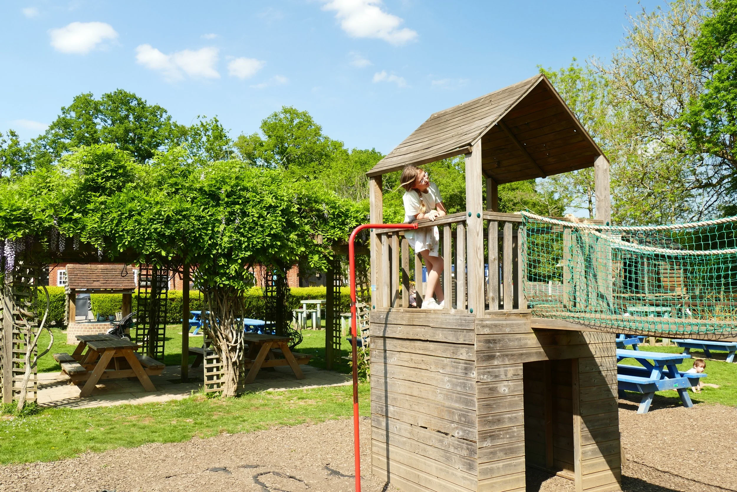
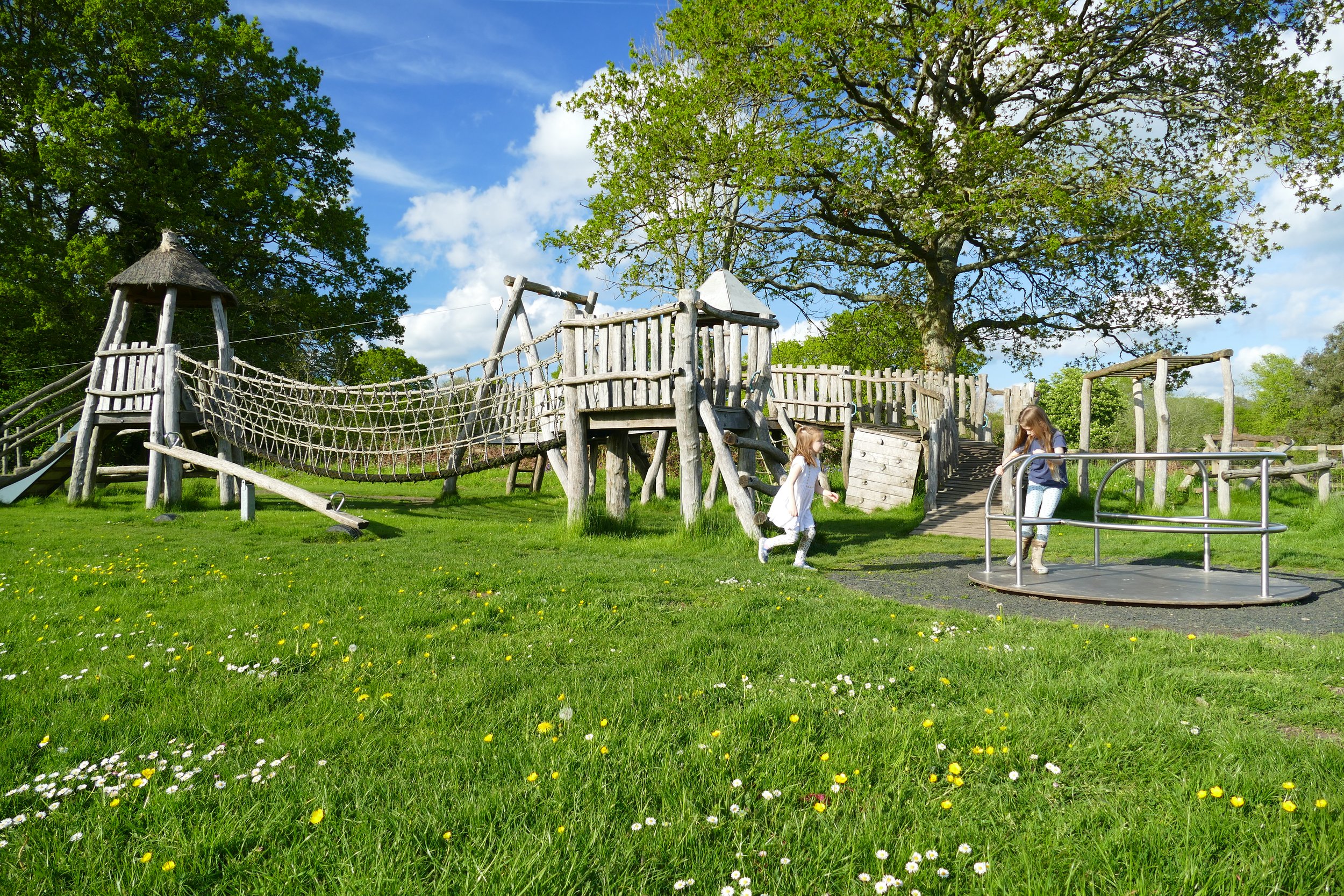
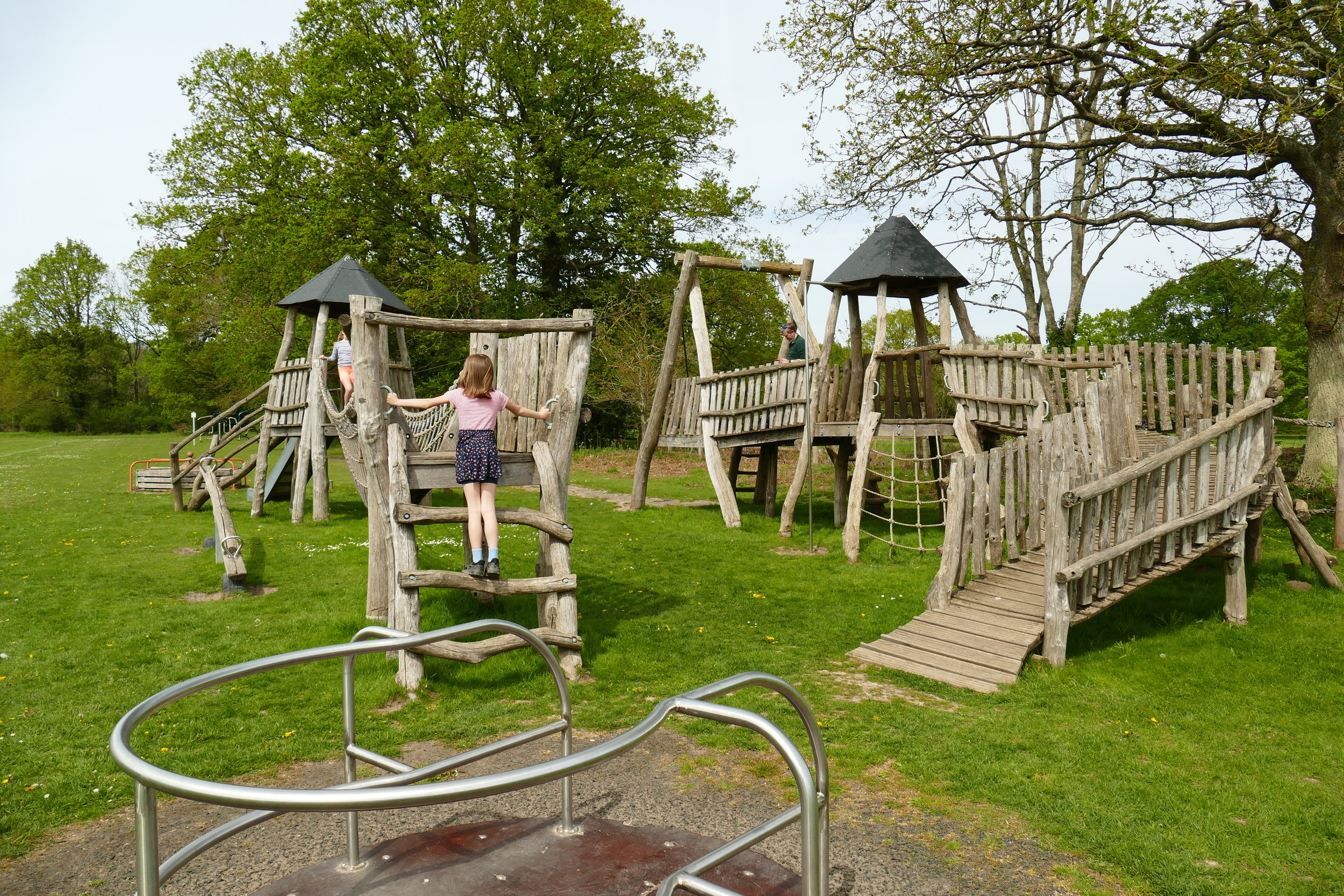
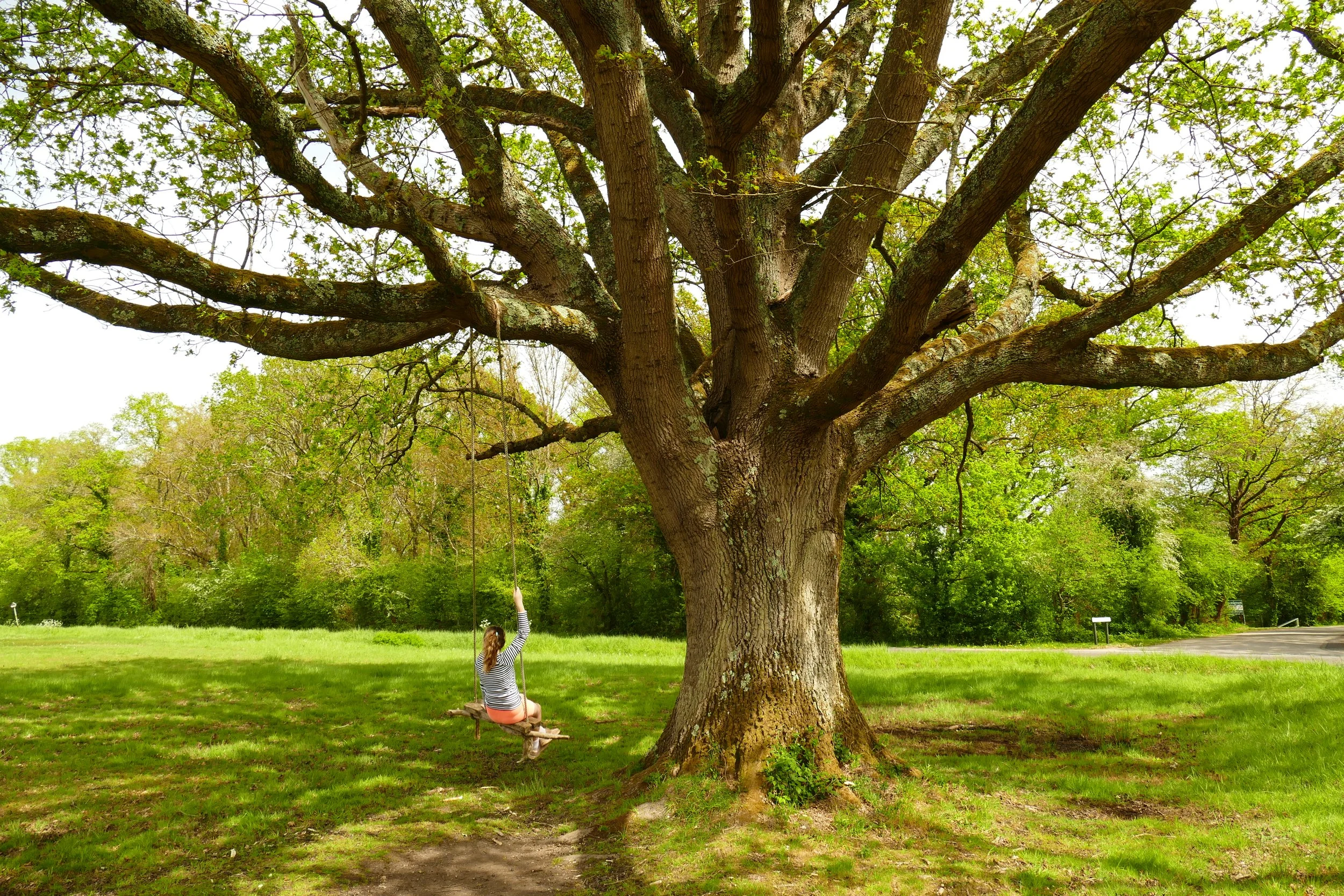
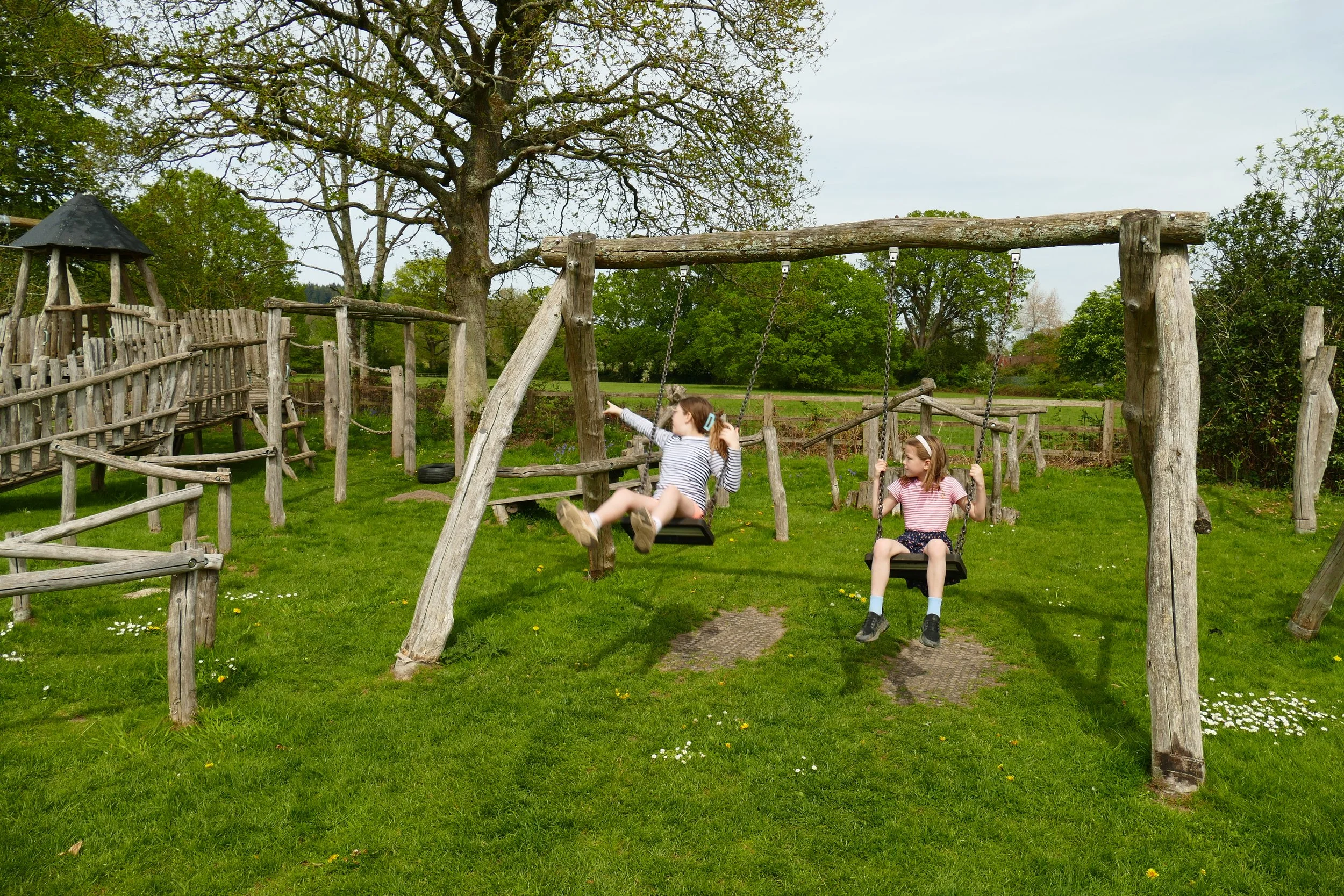
Children will enjoy the outstanding play area and tree swing on this walk.

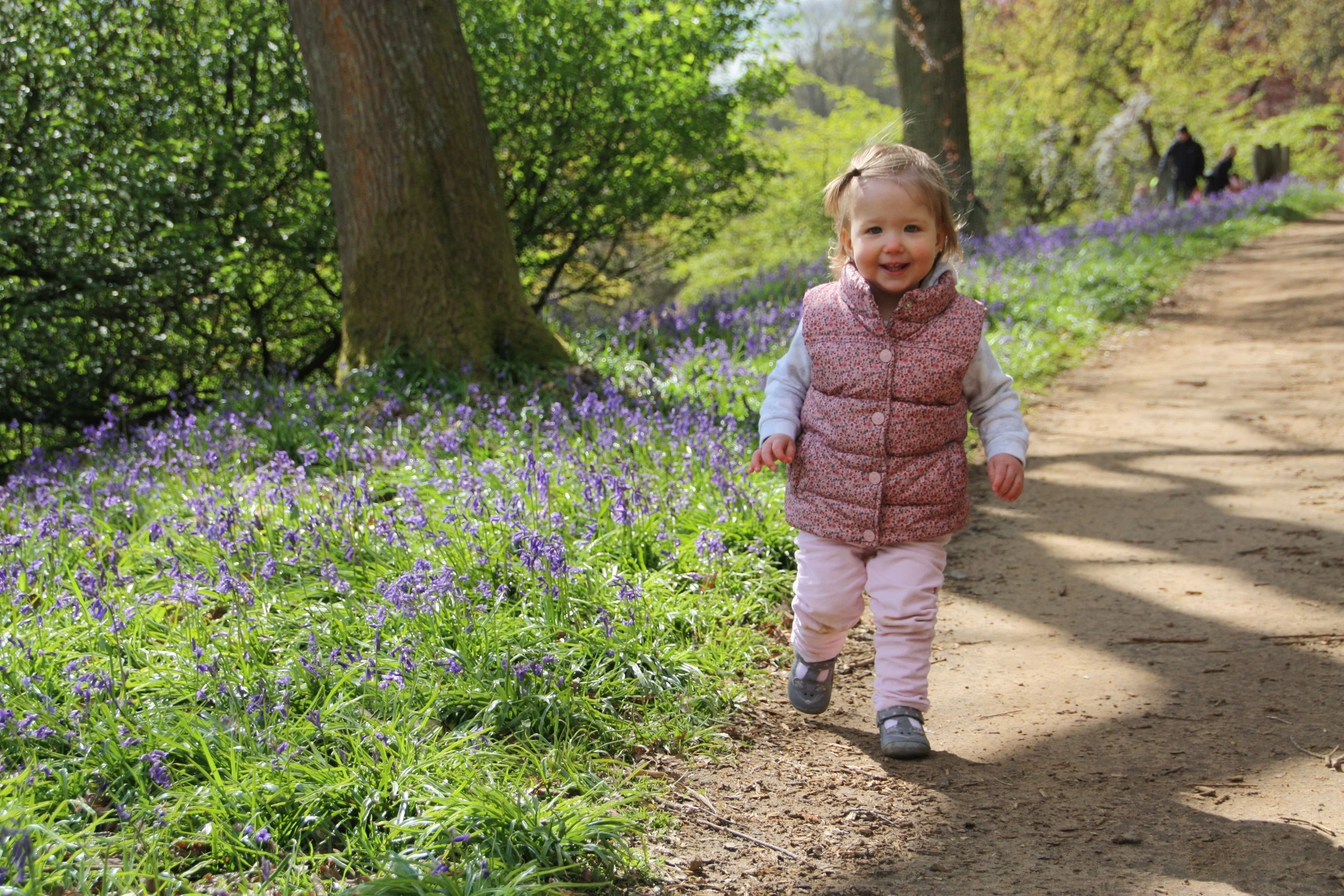
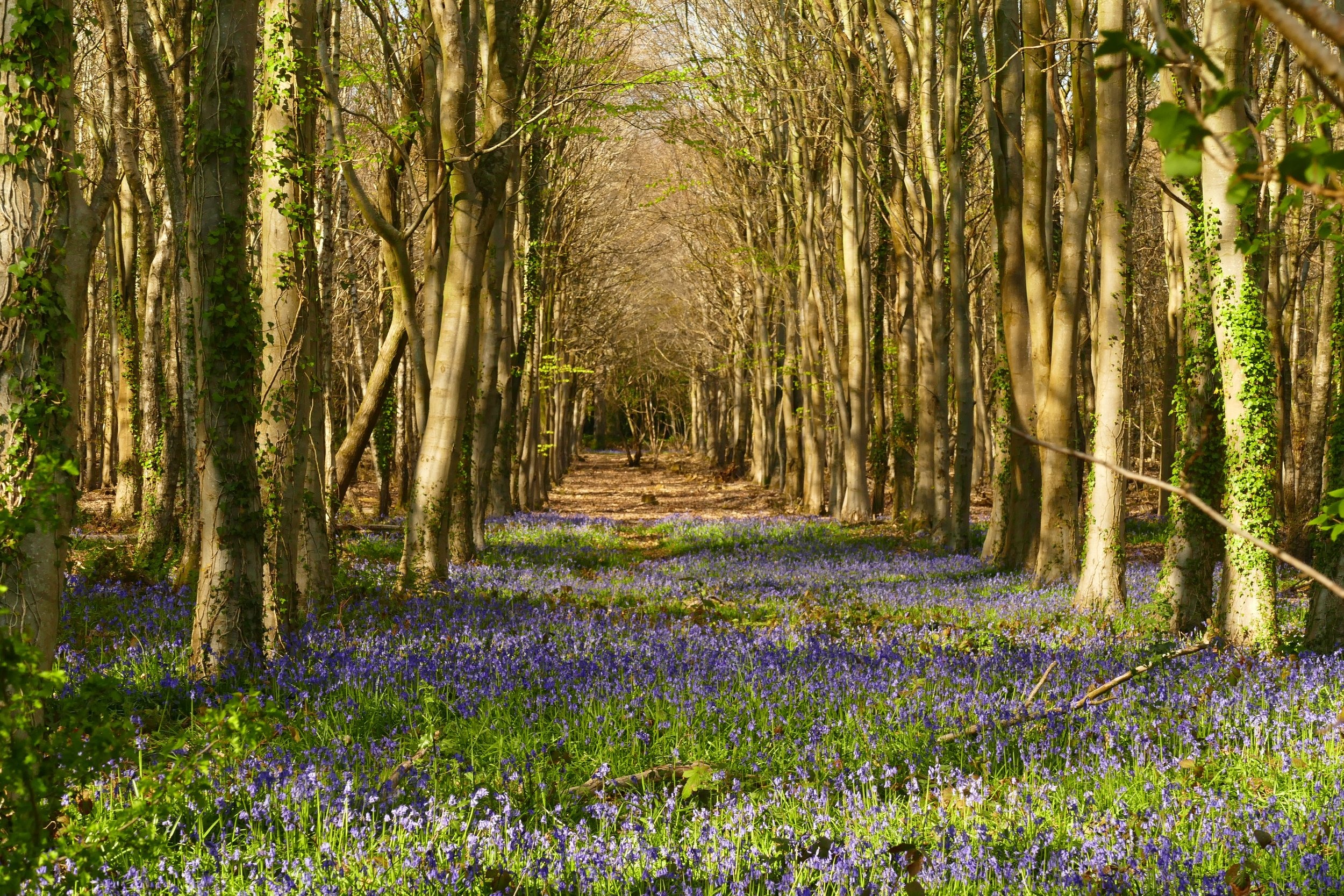
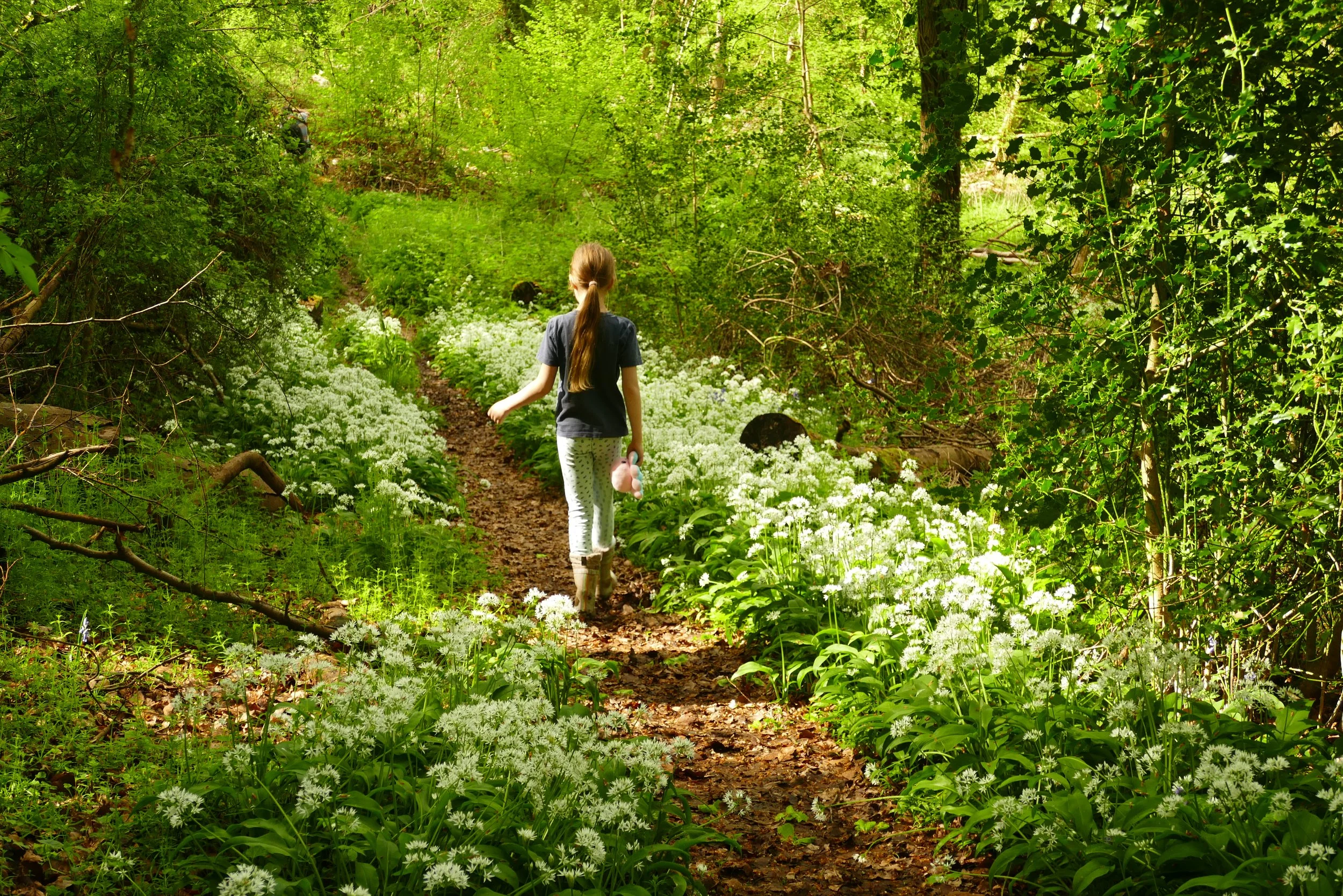
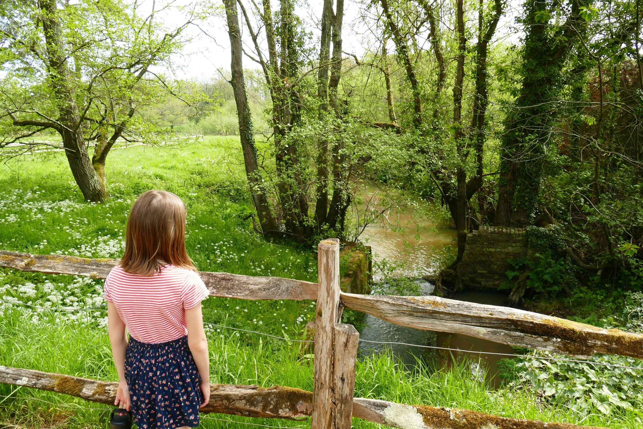
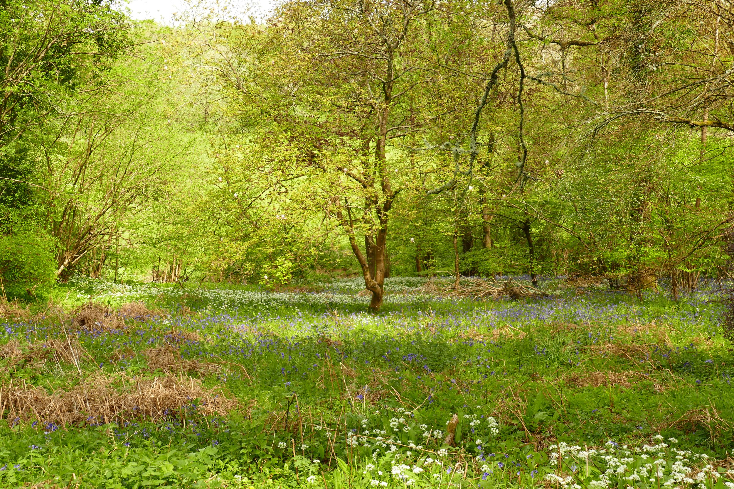
Mill Hanger is filled with wild garlic in spring
The Basics
Time: 2 hrs 10 mins
Distance: 7.5 km / 4.7 miles
Terrain: Sometimes muddy, overgrown and uneven woodland paths, quiet country roads, steady up hill sections and a field that may have cattle in.
Pushchair: This route is not suitable for pushchairs.
Dogs: Dogs are welcome on this walk.
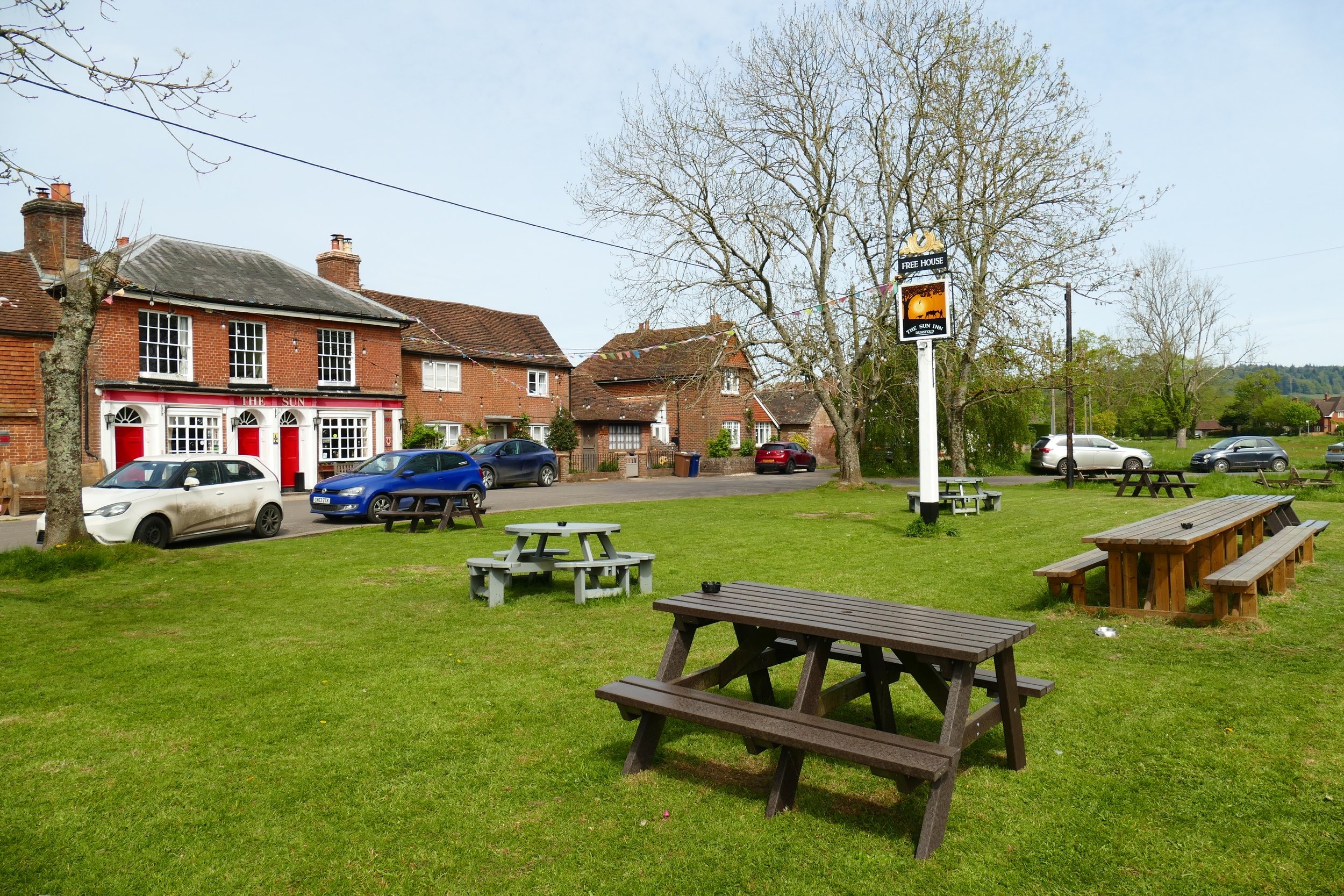
Refreshments: The Sun Inn, Dunsfold, with tables spilling out onto the pretty village green.
Toilets: There are no public toilets on this walk.
Public Transport: Compass Travel route 42 from Cranleigh/Guildford/Godalming stops at the village hall.
Parking: Parking can be found on the road beside the pub, in the village car park near the post office or at King George V playing fields (Postcode: GU8 4LH - W3W: ///crusher.resist.decoded)

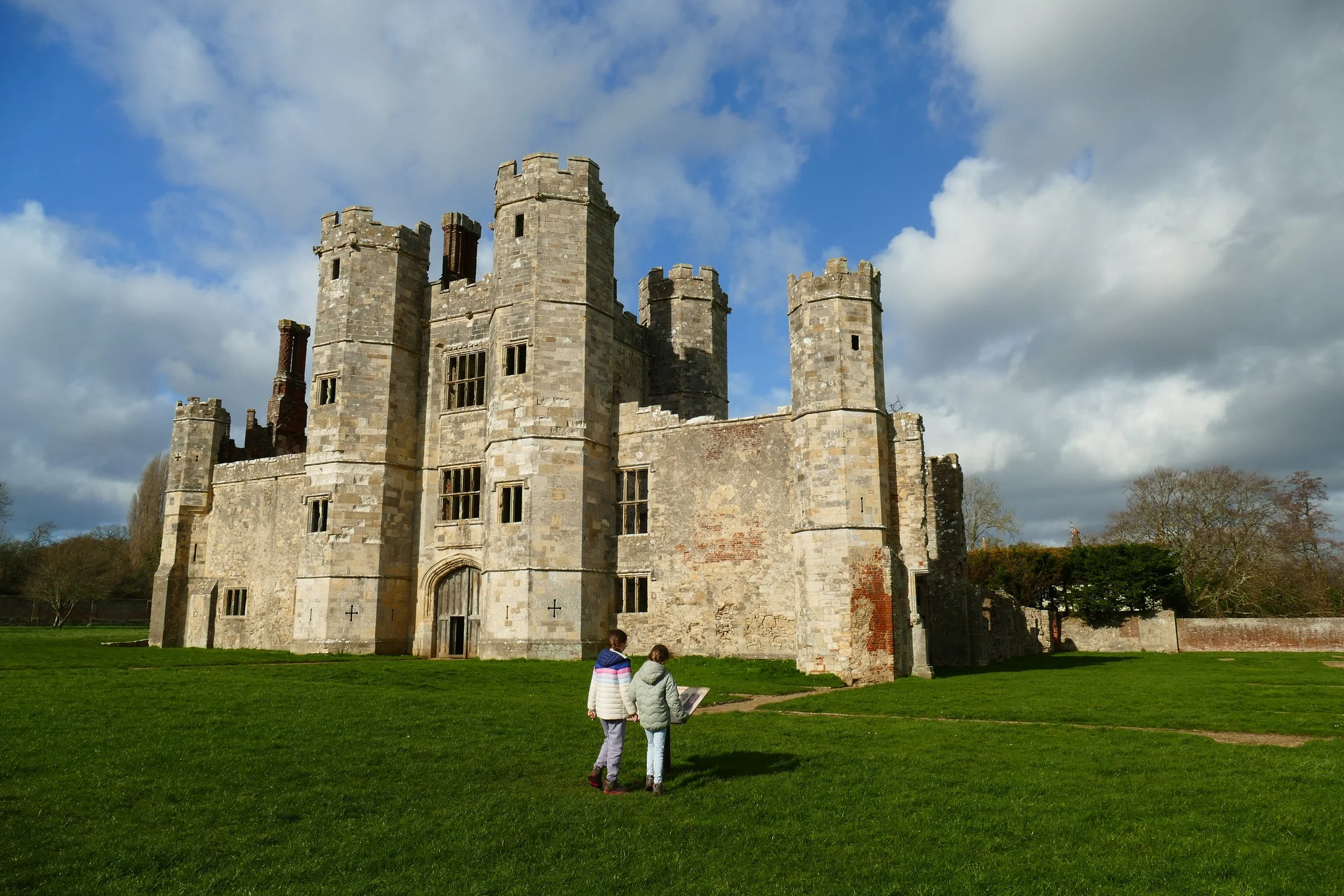
A rope swing hangs from a tree on Dunsfold village green
It is hard to decide which feature of this walk is the most enchanting. It could be the cottages and pub lining the long village green where swans nest on a pond, wildflowers grow and a swing hangs from a giant oak. Or it could be the little-visited Mill Hanger where bluebells and wild garlic bloom and tumble down to the River Lox. Or maybe it is the peaceful play area made from tangled rustic poles that create an assault course, walkways, towers and a zip line that are as beautiful as they are fun. It is a longer walk, but it needs to be to pack all this in!
The Route
The route starts from The Sun Inn, so if you parked at the village car park or the recreation ground, you will need to make your way there by walking along the pathway in front of the houses that line the village green. It is a distance of about 1 km from the play area to the pub.
In front of the pub is a footpath marker. Follow this up Oak Tree Lane. Pass a large oak tree and a small pond, and then just after Gorse View and Pondside, veer right following Mill Lane/the public bridleway. After the houses end, the path will turn from tarmac to a dirt track. Follow it down hill. After the log stepping stones, the path will narrow and you should continue in the same direction until The Mill House. Keep the house to your left and walk up the gravel track with a grassy middle. Continue up the hill under the trees and pass Hawthorn Cottage with many old cars parked up.
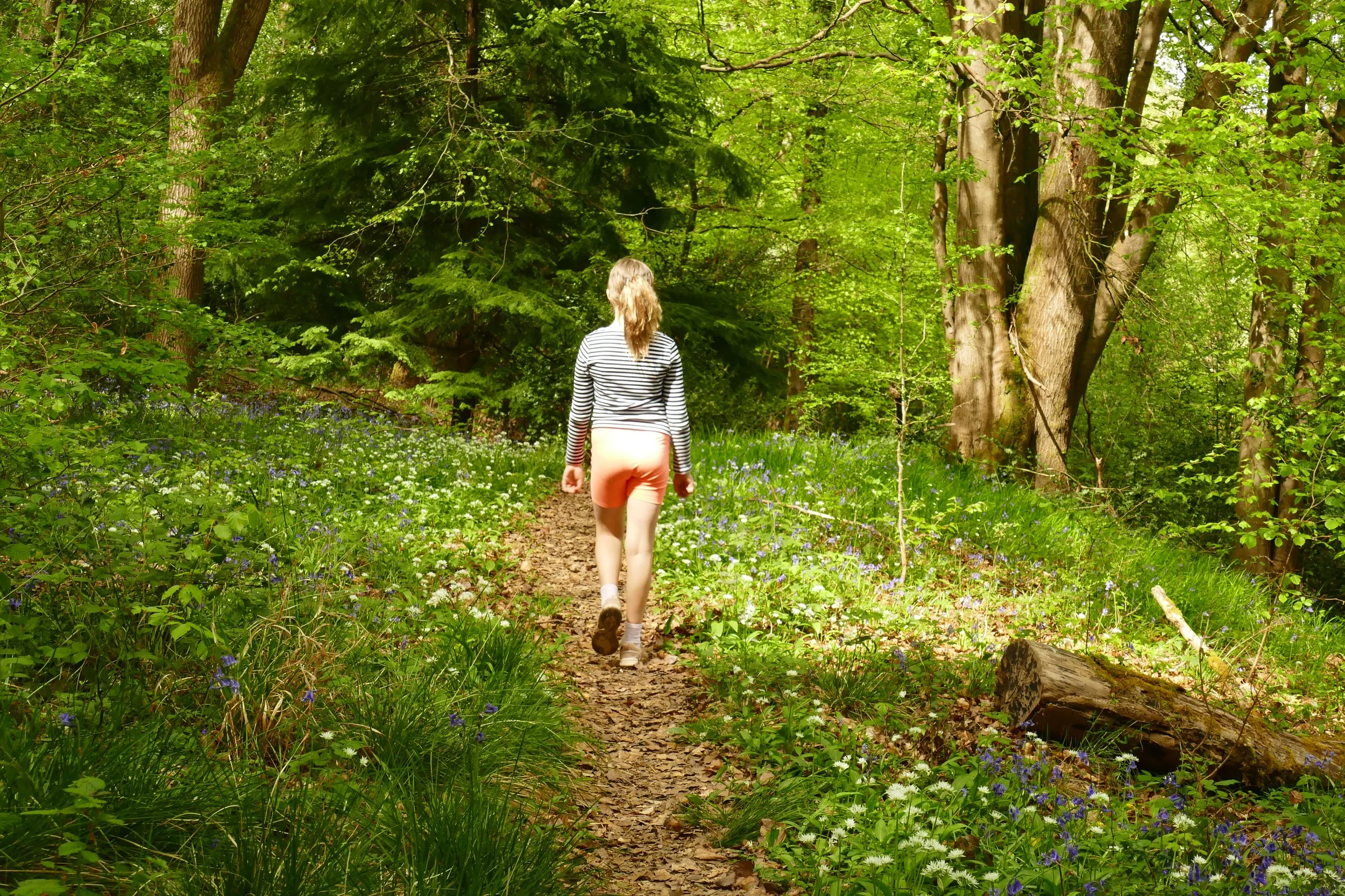
Just after the cottage, turn right along the public footpath. When the path reaches a modern home with wooden cladding, drop right away from the drive down a narrow and uneven path into Mill Hanger. The path is narrow, sometimes muddy, a little overgrown and you may have to step over the odd tree trunk. The reward is well worth it; In April/May the area is full of wild garlic and bluebells. Keep the river to your right and follow the path as it twists its way through the woodland. It will take you about half an hour to walk the length of the woodland. After a steady uphill climb out of the hanger, you will reach a black plastic fence. Turn right and you will notice the tree type change to a dense conifer plantation. Keep going until you reach the road.
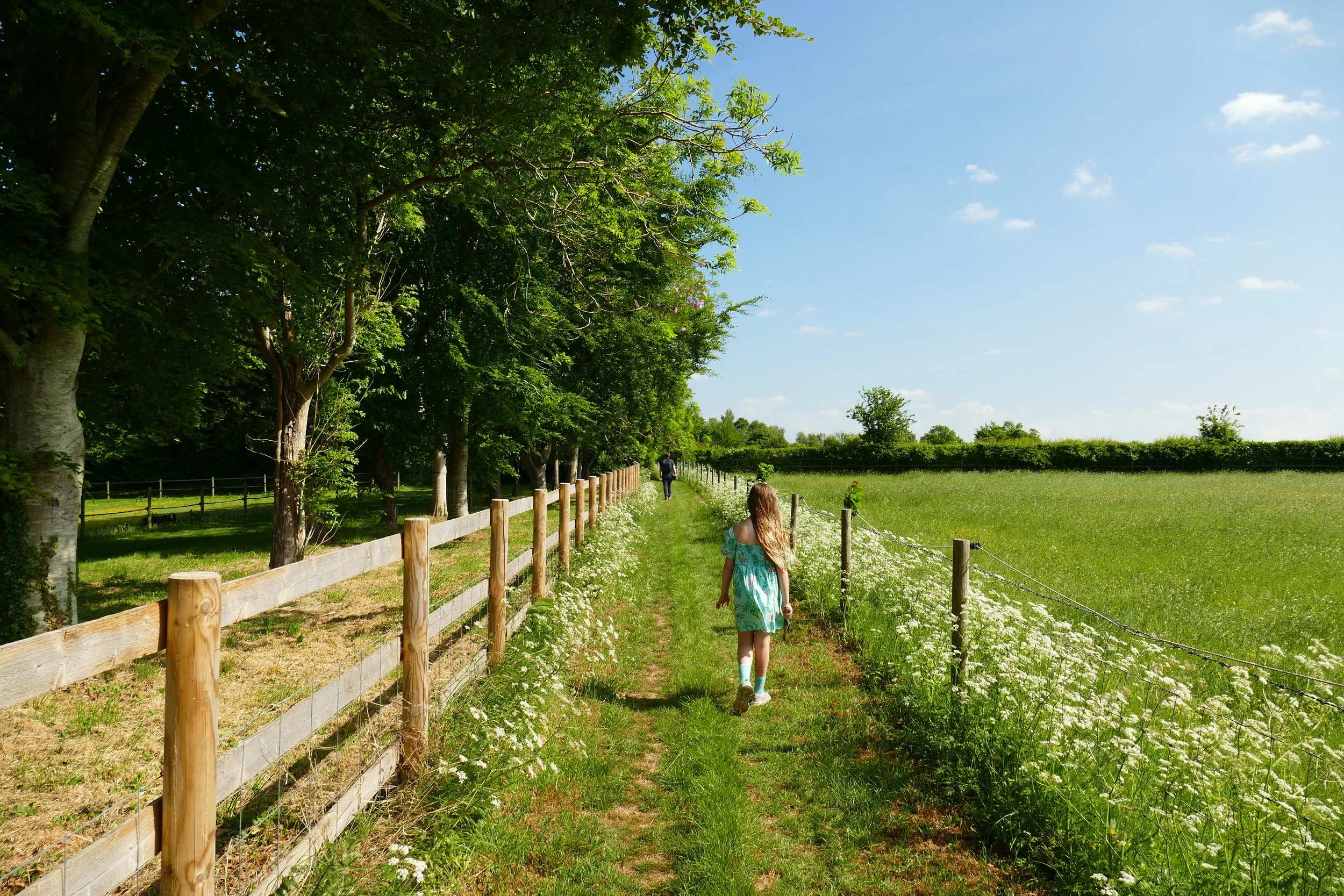
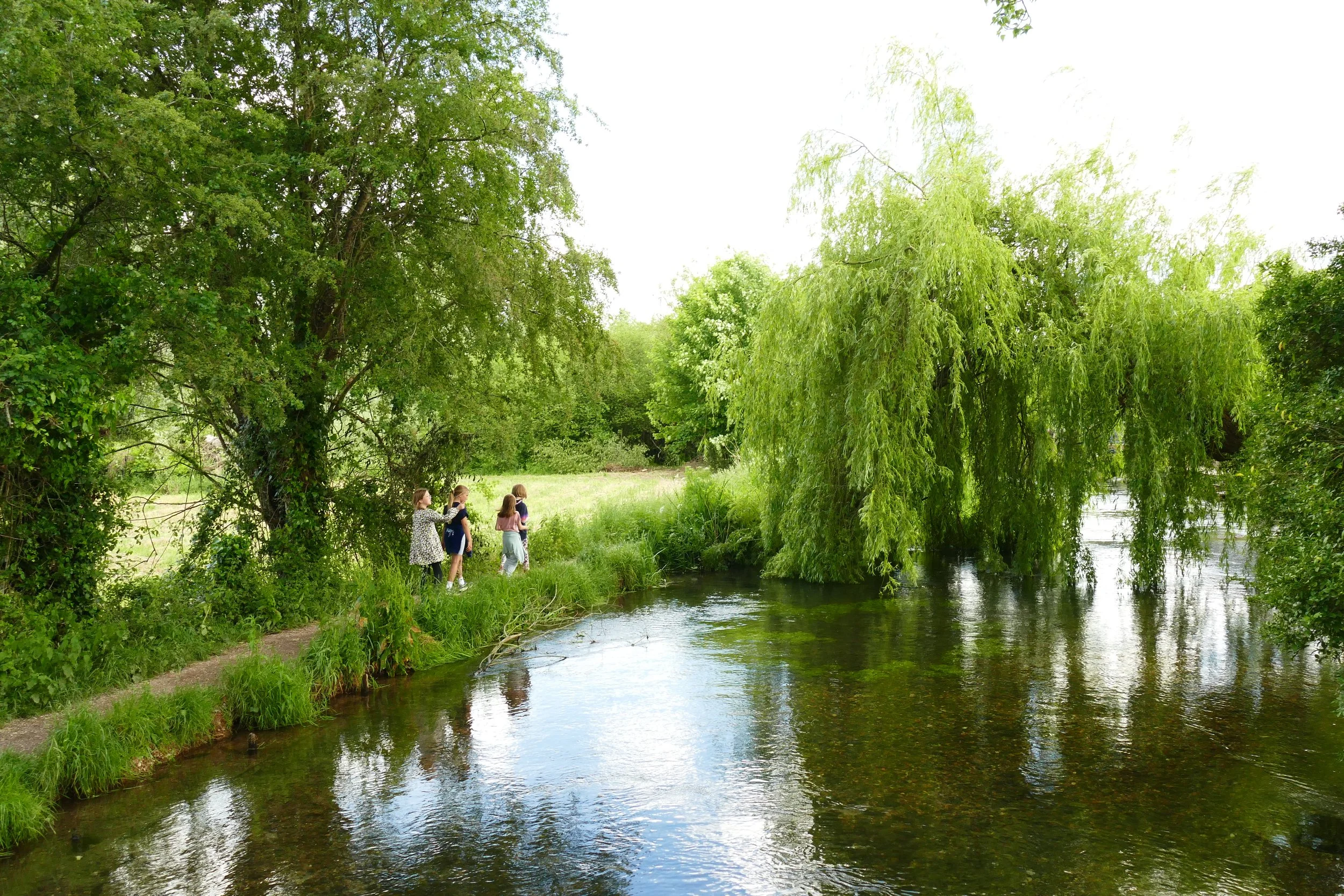
Turn right at White Beech Lane and walk at the side of the road down the hill. Cross the river at the bottom and then the road will climb upwards and bend around to your right. When you reach White Beech Farm, turn right off the road and walk down the path to the left of the cattle grid. After the farm, the path will enter woodland again with more bluebells and garlic. Cross the little bridge at the bottom and then bend right to continue along the path with the river to your right. Go through the gate and enter an area of newly planted trees. Keep going with the river to your right and cross the bridge at the other side of this area.
Go through the gate after the bridge and enter a field. Cross the field to the small metal gate opposite you, but do not go through it. Instead, turn right and walk along the top edge of the field with the trees to your left. When you see a large metal gate to your left, go through the smaller wooden gate to the side of it. Walk along the path until you come out at the church green.
If you want to return via the recreation ground:
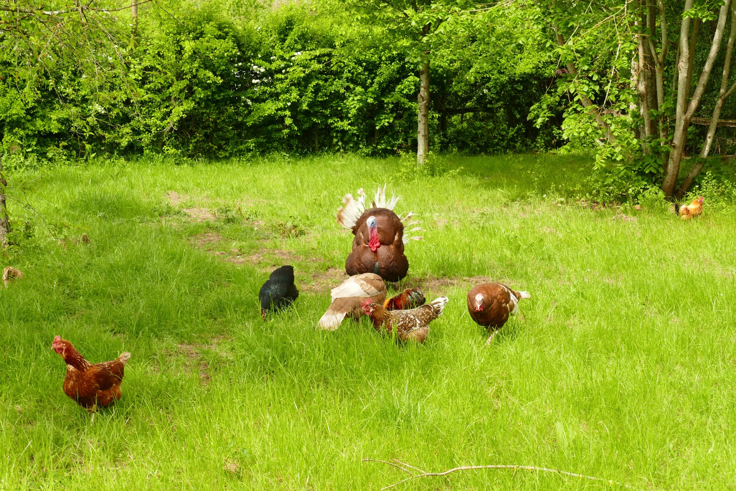
Bear left and take the top Church Lane, passing a postbox to your right and Lark’s Rise to your left. When you reach Hookhouse Lane, turn left and walk along the road until you see a gate on your right with a sign saying ‘farm livestock, please keep shut’. Go through the gate and cross the field with the line of trees to your left. At the other side of the field, go through the gate and then drop downhill on the track towards a stream at the bottom. Continue straight up the hill and go through the next gate. At the top of the path, you will come out into a parking area. Pass a little enclosure full of poultry and bear right to come out onto Dunsfold Green. Turn left and pass a pond to your right (the rope swing on the oak tree is on this green, closer to the road). Just before Elmlea Cottage, turn left, and after a few metres, you will see the recreation ground.
If you want to return directly to the pub or village car park:
Bear right and take the bottom Church Lane, passing The Old Rectory to your left. Turn right when you reach Shoppe Hill. Walk down the lane and then curve left up the hill. Just after Barnes Meadow, take the footpath on your right and go through a mini kissing gate. The path begins narrowly and will then follow the driveway. At the end of the driveway, you will reach a junction with a choice of two footpaths. If you continue straight on, the footpath will bring you out near the post office. If you turn right, the footpath will bring you out at the end of Oak Tree Lane, where you should turn left to return to the pub.
Gain access to the member's only area of our website where you will find the complete A-Z library of all our PDF files. This includes over 220 self-guided walks ready to print or download, as well as various children's activity sheets. You will also find a digital membership card, giving you access to our current discounts.


Did you know?
Dunsfold is also home to an aerodrome, built by the Canadian Army during the Second World War, and more recently the main filming location for Top Gear, where Clarkson and his crew would use the track for test drives.

If you enjoyed this walk…
…try this one at Chiddingfold, a nearby and equally charming Surrey Hills village with lots of bluebells in spring.
Follow us to see our new walks and get regular updates on our old ones: