Westcott
Dorking
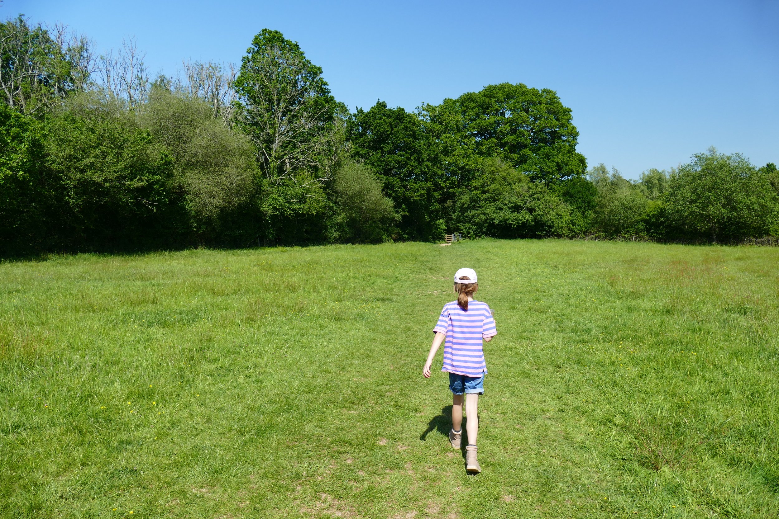
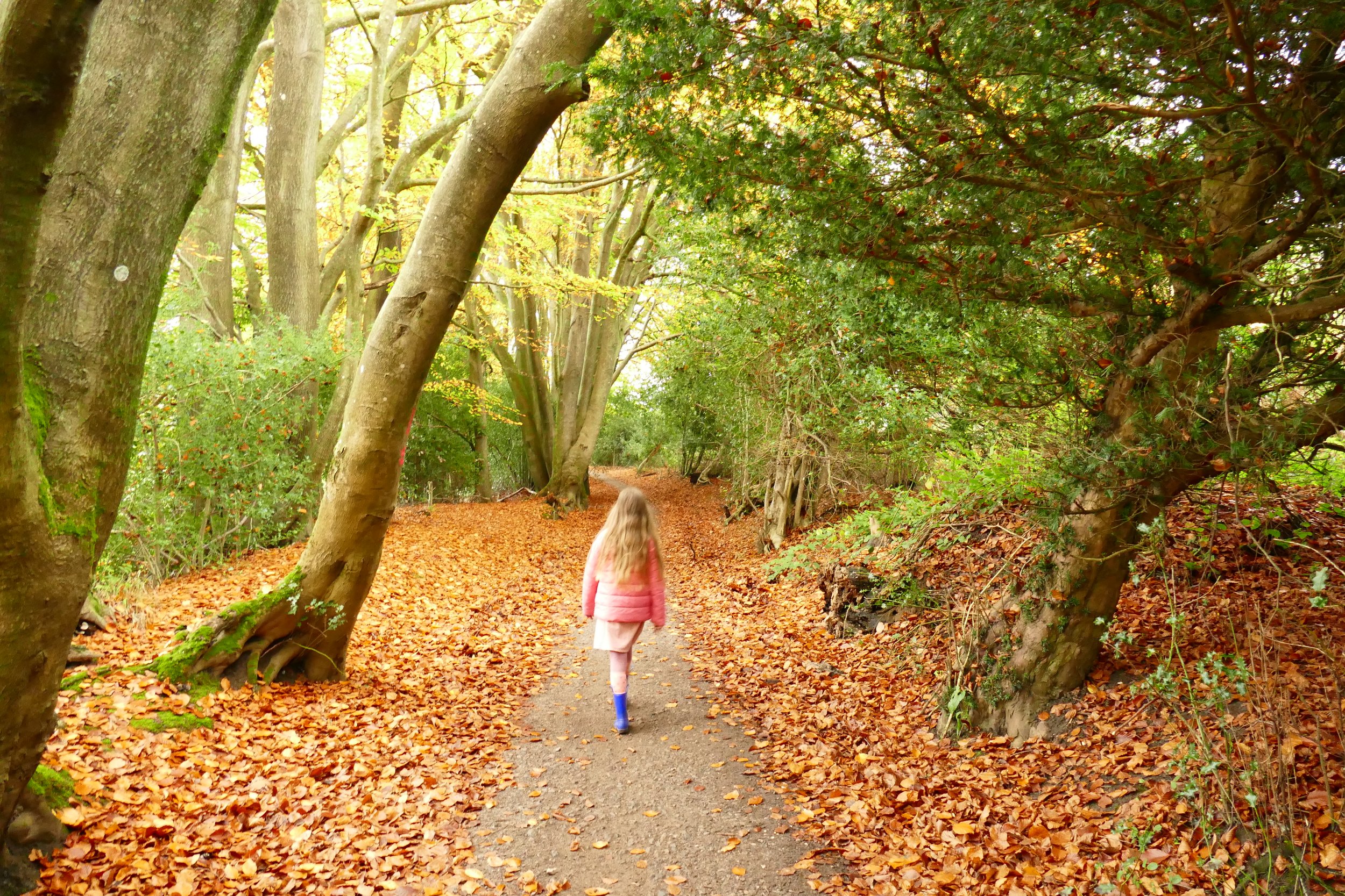
Children will enjoy a waterfall and a treat from a café hidden in the trees on this walk.

Walk through the Surrey Hills countryside and find Coffee in the Copse
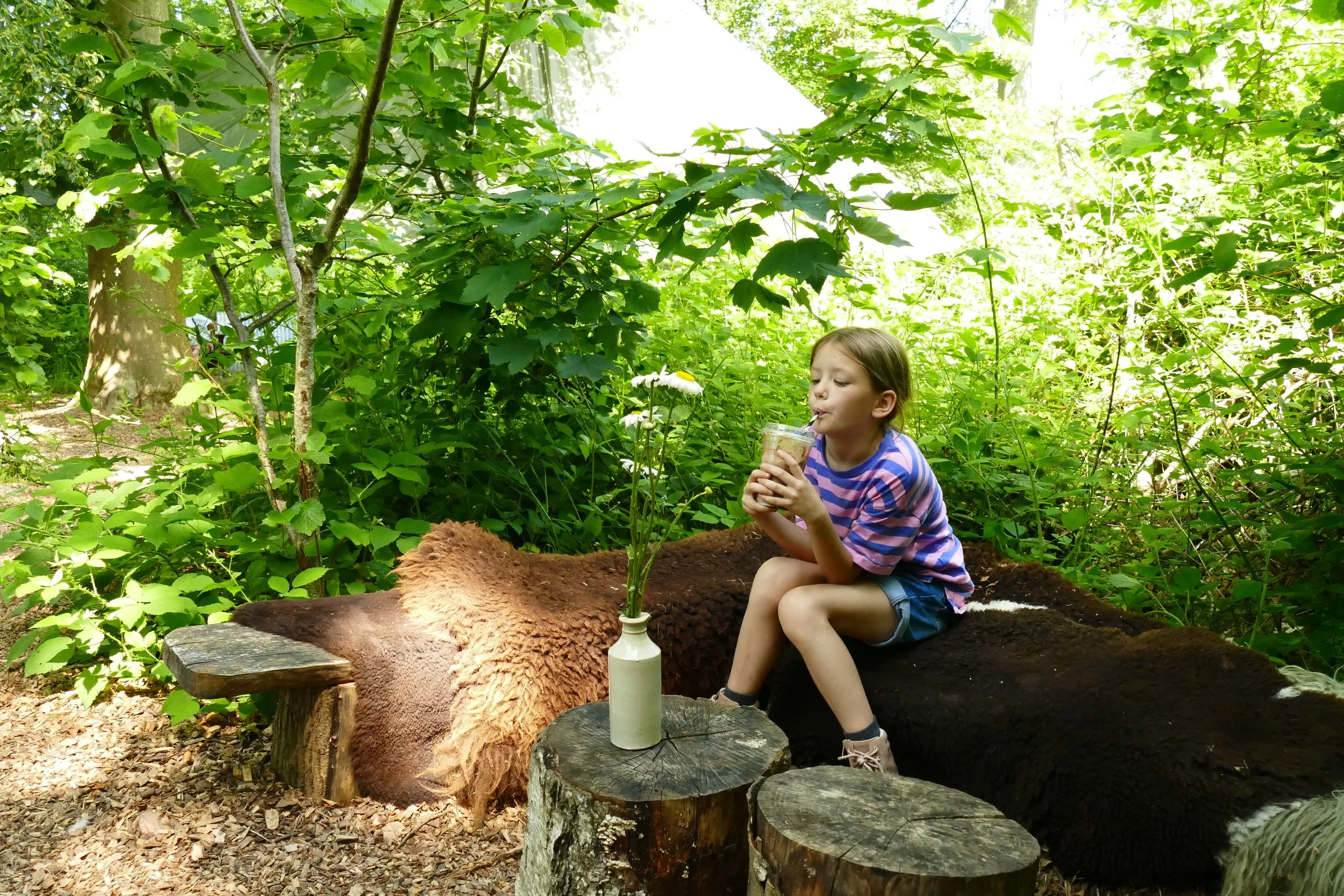
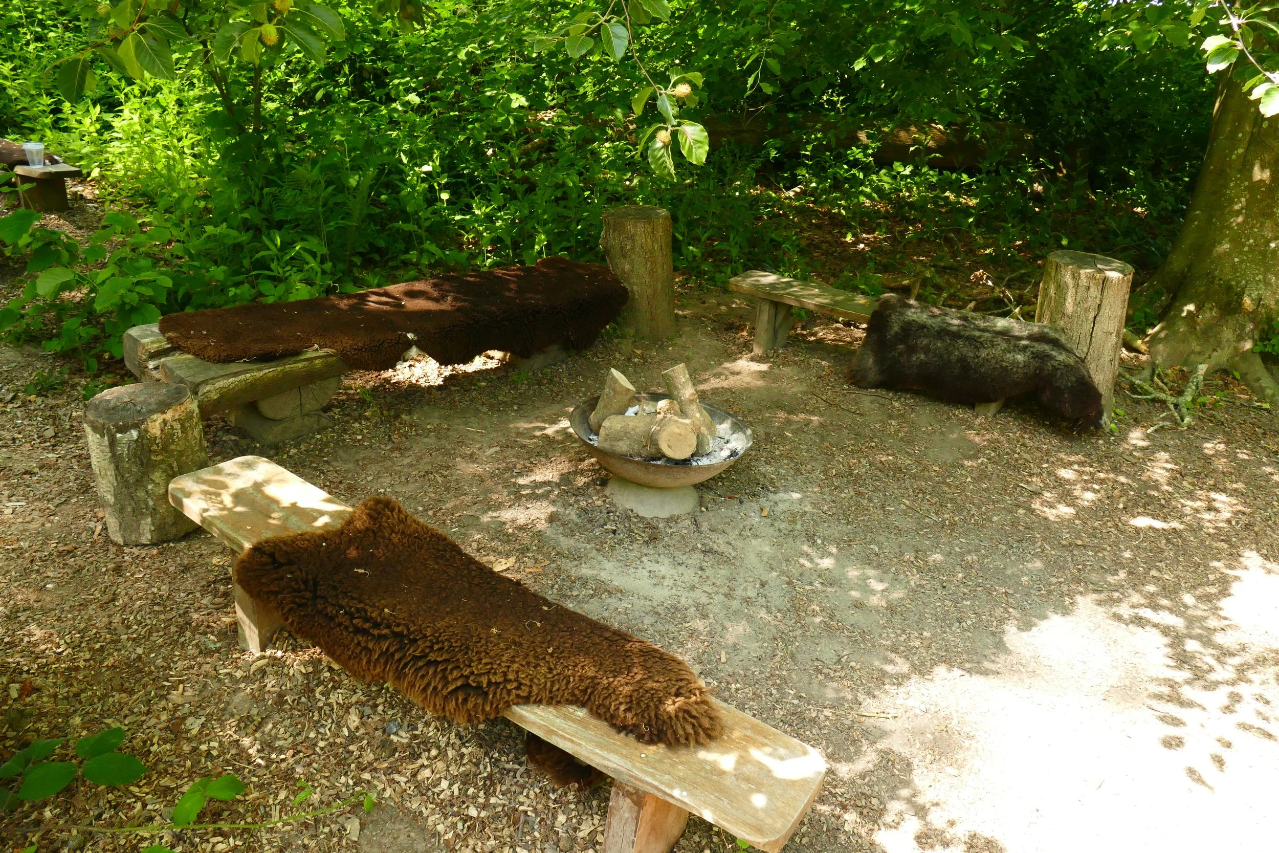
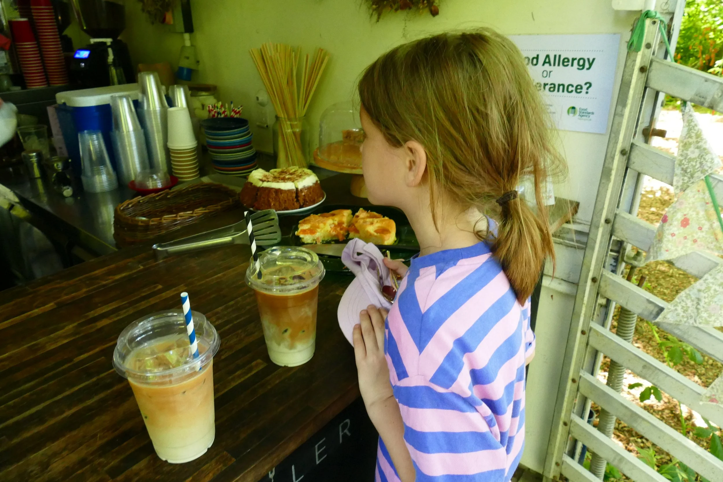
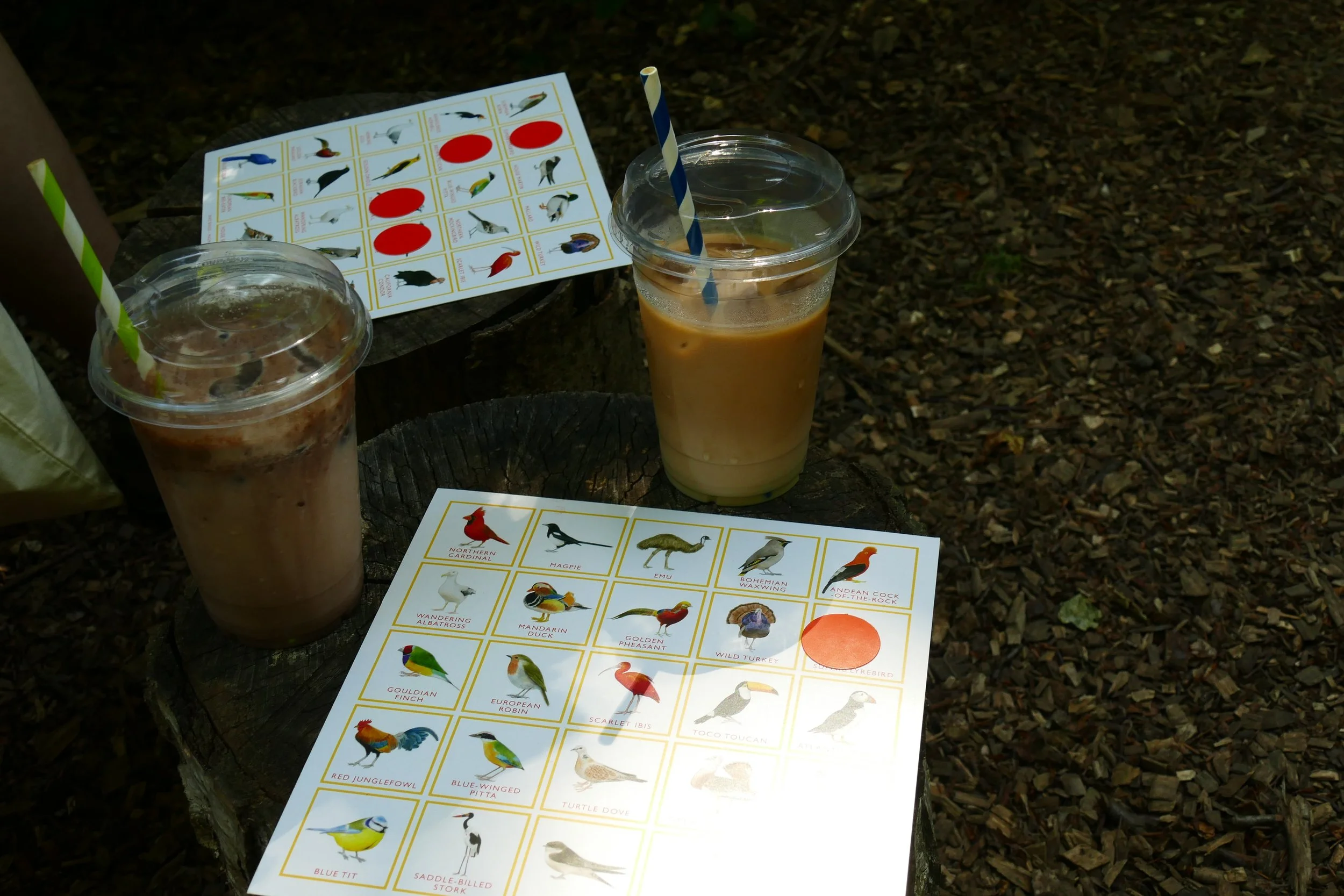
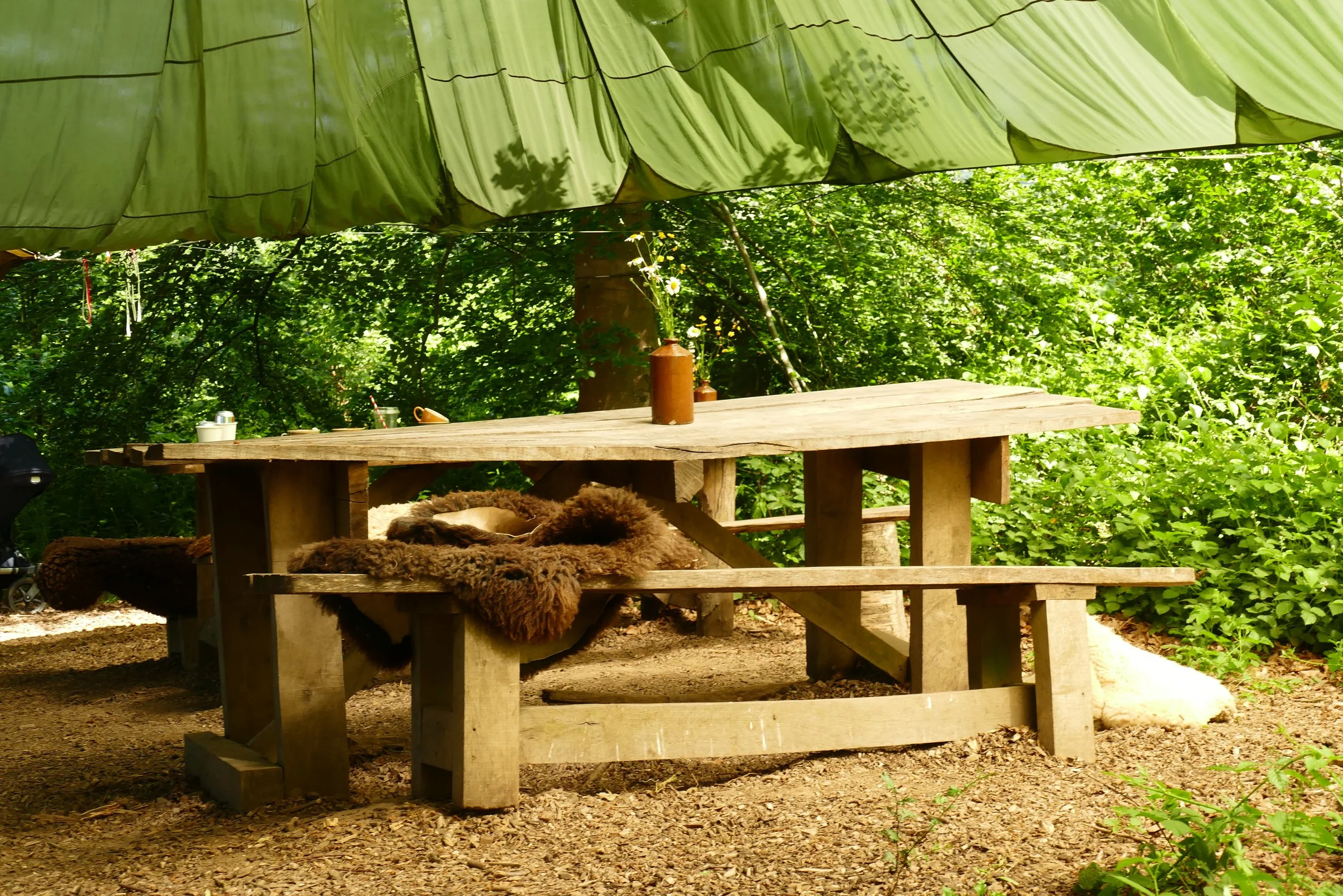
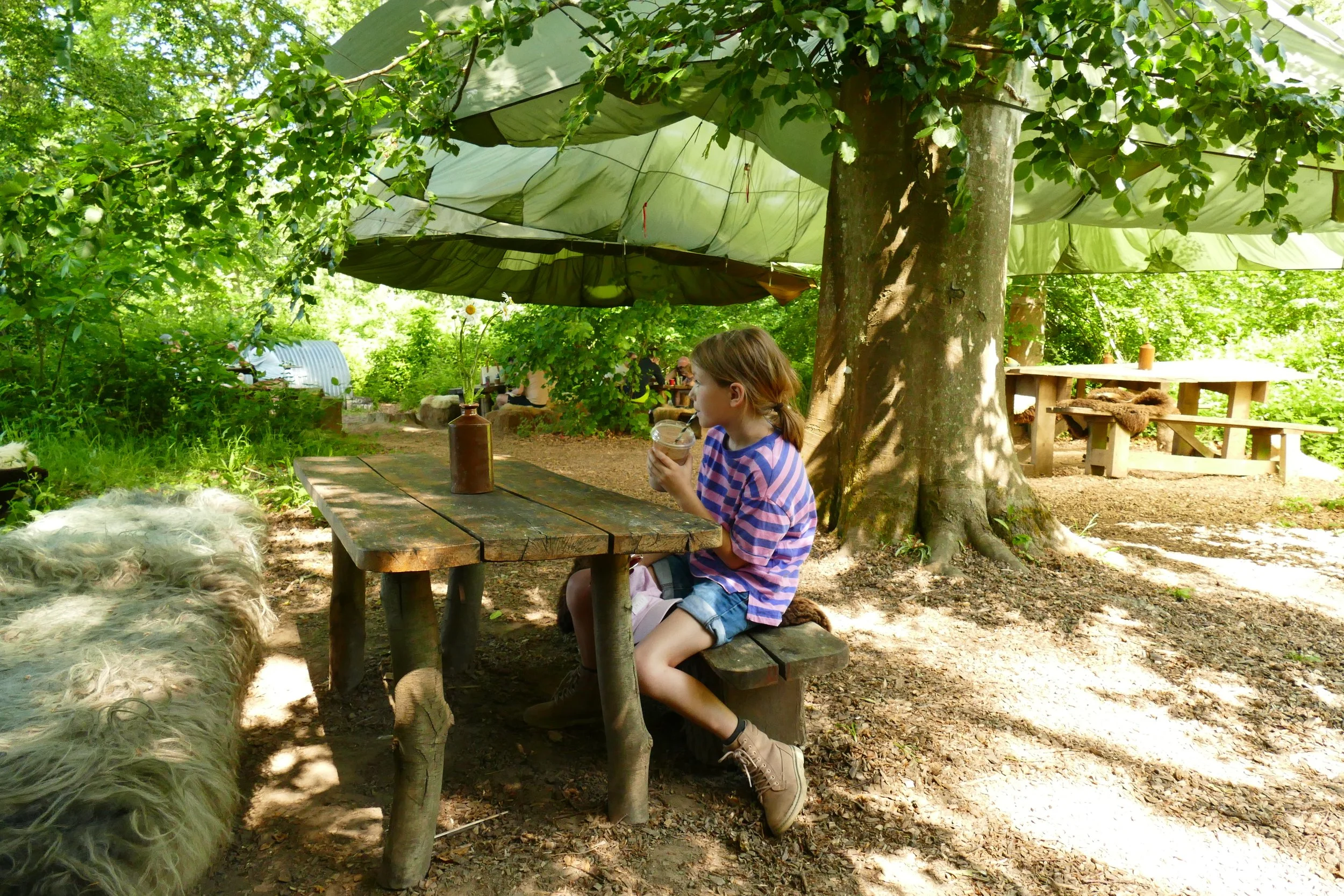
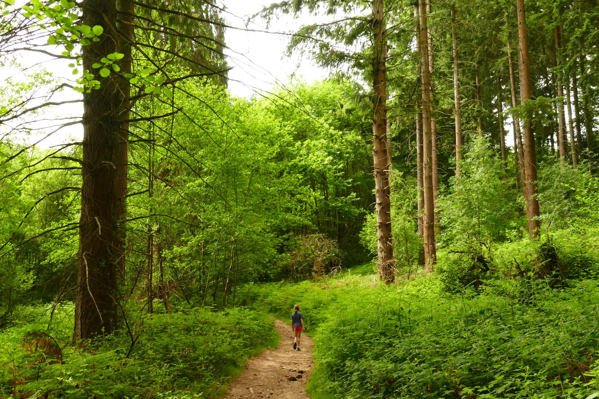
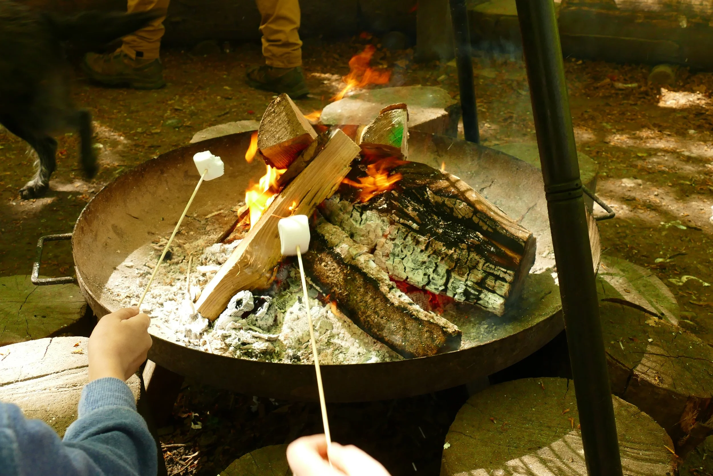
Tucked away under the trees on a Surrey hillside is ‘Coffee in the Copse’, where you can visit the trailer selling drinks and baked treats then sit around the firepit on cosy fleece covered logs. The owners encourage their customers to make use of the abundance of footpaths and walk to the copse, so we have created two circular walks for you. One is a longer and more challenging route that passes Tillingbourne Waterfall and the other is a more gentle route from the The Nower with an optional diversion to the hilltop ‘temple’.
Route One: The Nower to Westcott
Ambling Path Members get 10% off at Coffee in the Copse
🍵
Sign up below
🍵
Ambling Path Members get 10% off at Coffee in the Copse 🍵 Sign up below 🍵
The Basics - The Nower to Westcott
Time: 1 hour 25 minutes
Distance: 4.7 km / 3 miles
Terrain: A mixture of surfaced and unsurfaced woodland paths, one very uneven section and one narrow section, some hills to climb and descend. The diversion to the temple is steep and has steps.
Pushchair: This route is not suitable for pushchairs.
Dogs: Dogs are welcome on this walk.
Refreshments: Coffee in the Copse, a charming, hidden café in the heart of the countryside only accessible on foot. Fri-Sun 9-3 and some bank holidays.
Toilets: There are no public toilets on this route.
Public Transport: Use Metrobus route 22 between Crawley and Holmbury St Mary or Compass Travel route 32 between Guildford and Redhill and alight at Milton Court. Head East along the pavement and walk to the car park.
Parking: Milton Heath and The Nower car park, off the A25, free (Postcode: RH4 3JU - W3W: ///poker.daisy.jars)
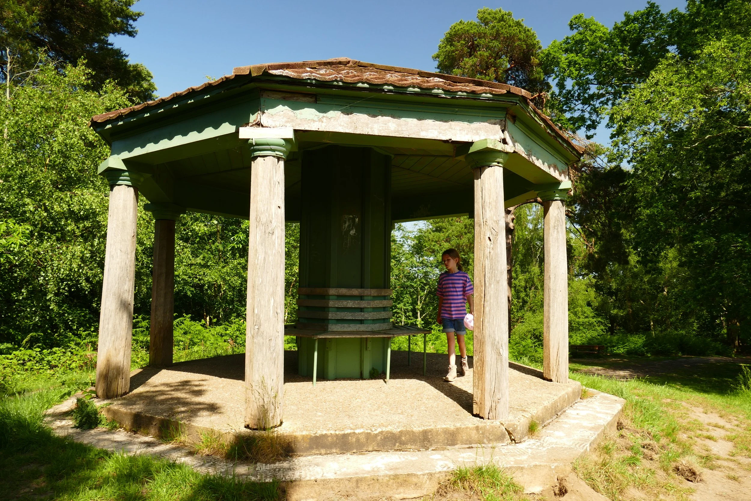
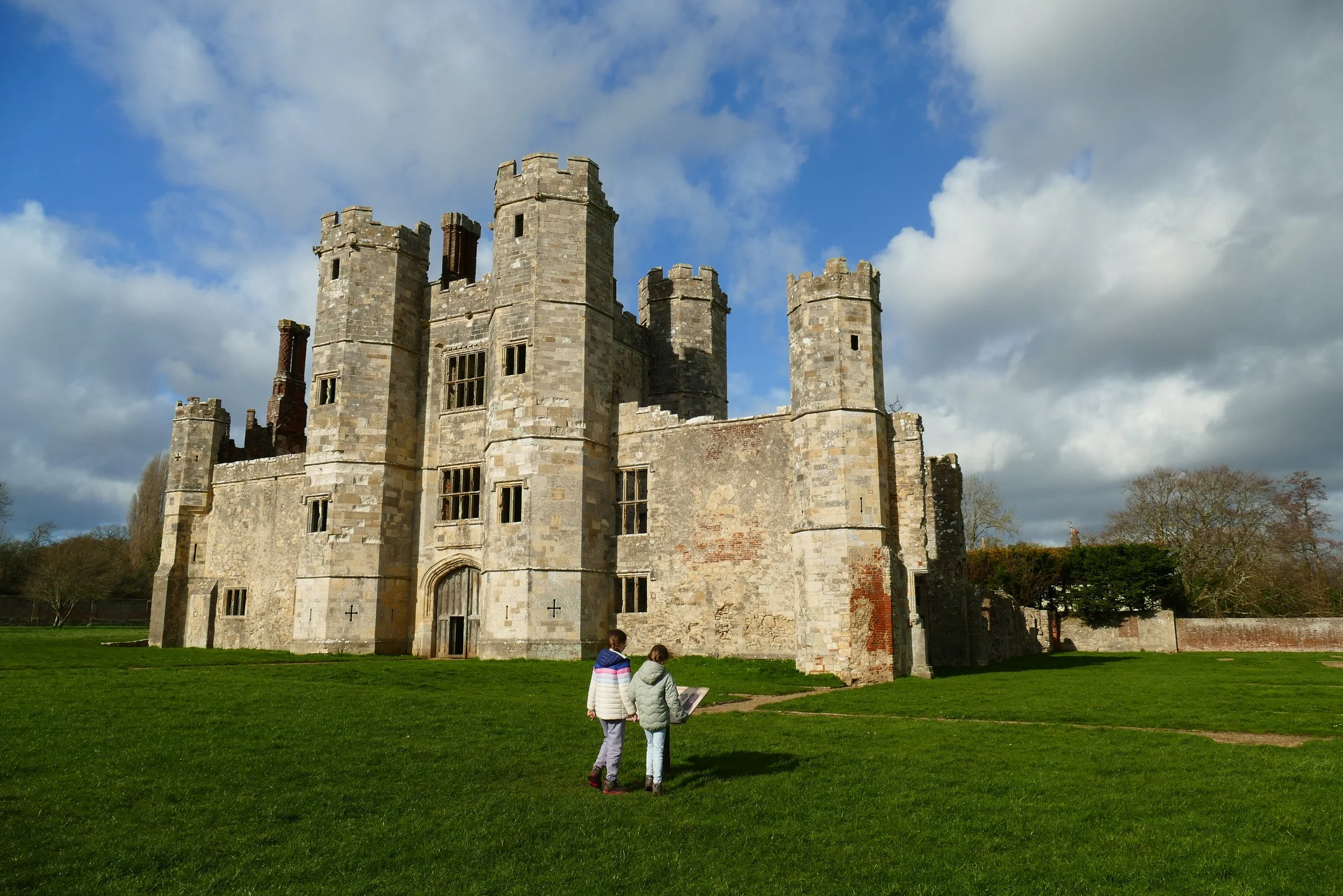
The Temple is really a folly/summer house once belonging to the Bury Hill estate.
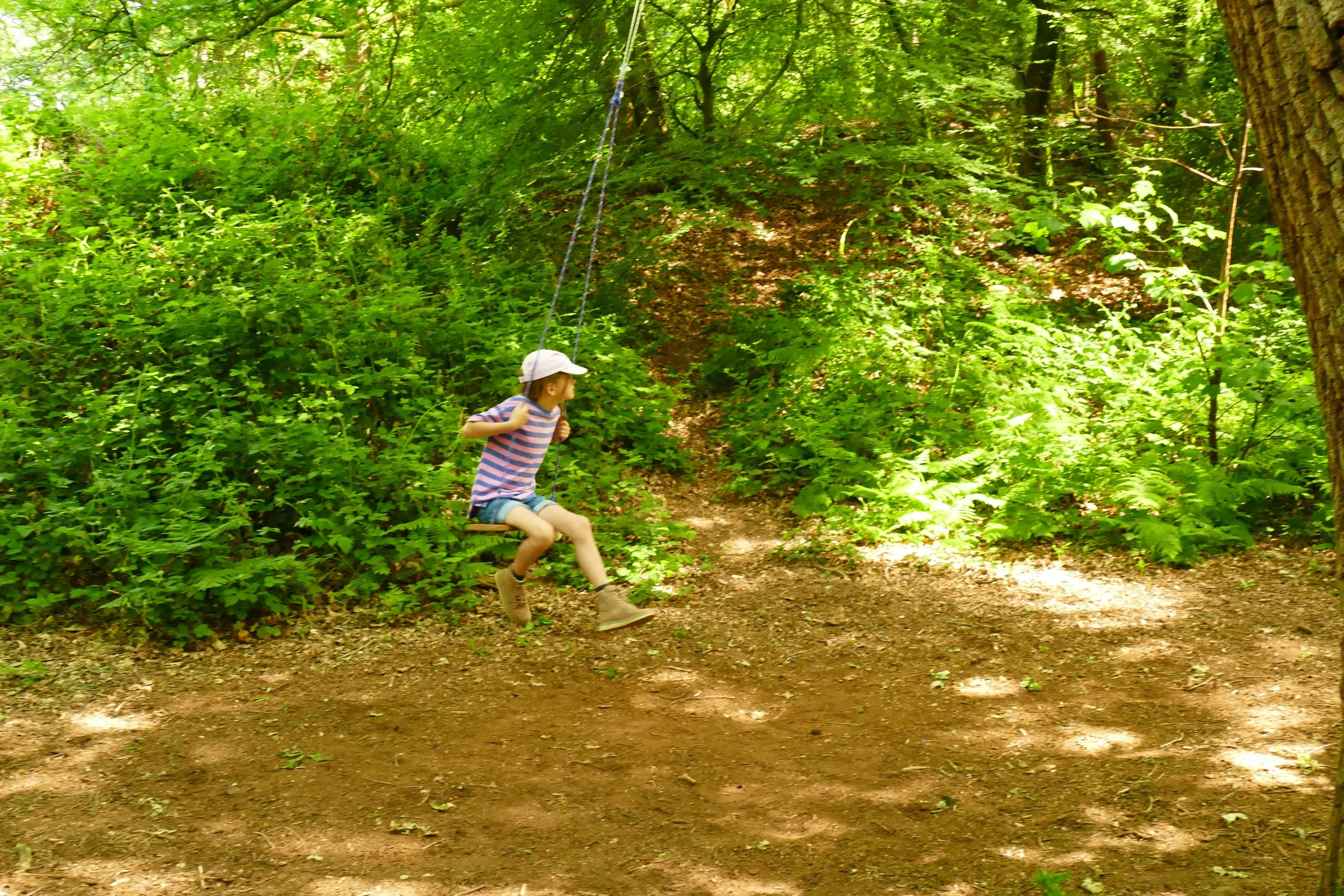
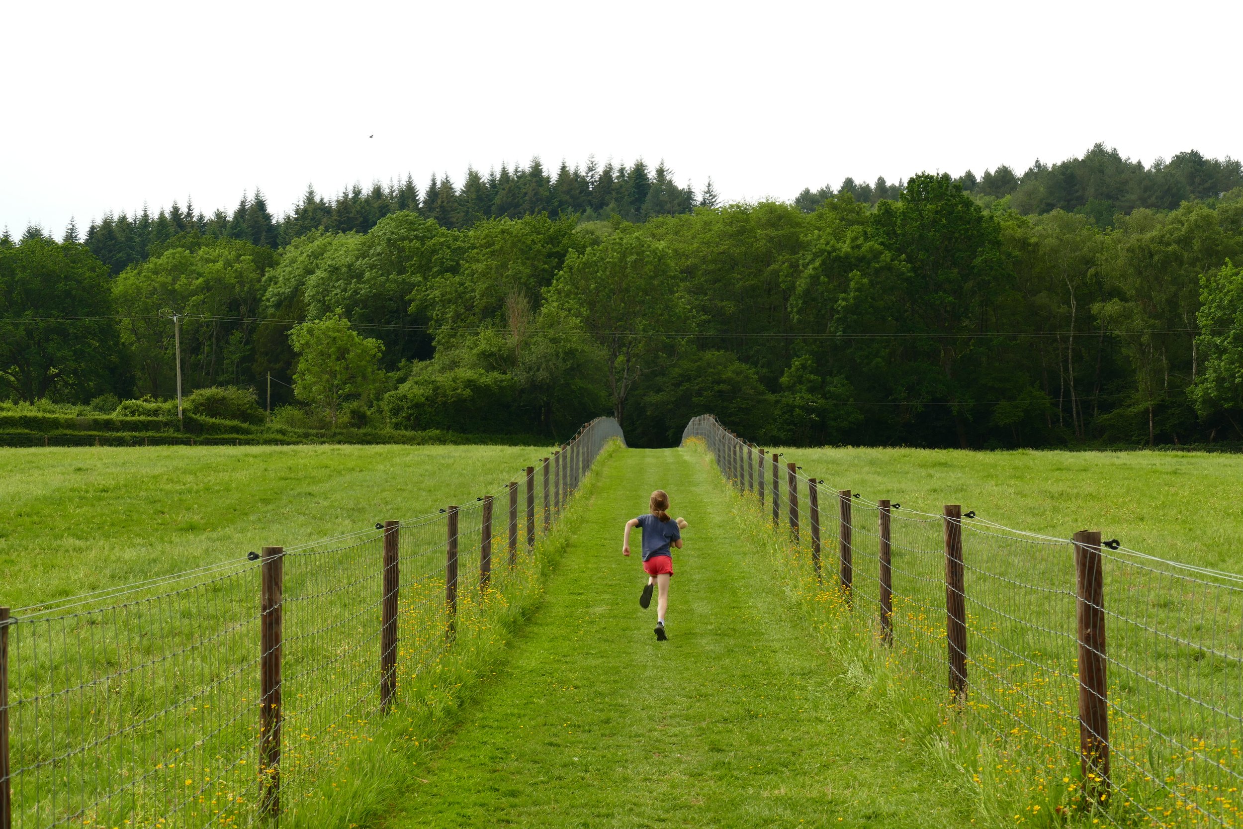
The first walk begins at The Nower, a mostly wooded area to the west of Dorking. It then skirts along the edge of the village before reaching Surrey Hills countryside and Coffee in the Copse. Either at the start or end of the circuit, there is the option to climb to ‘the temple’, a folly belonging to the Bury Hill Estate. The views from the temple are far batter in the winter, but there is a tree swing on the way up that children might enjoy!
The Route - The Nower to Westcott
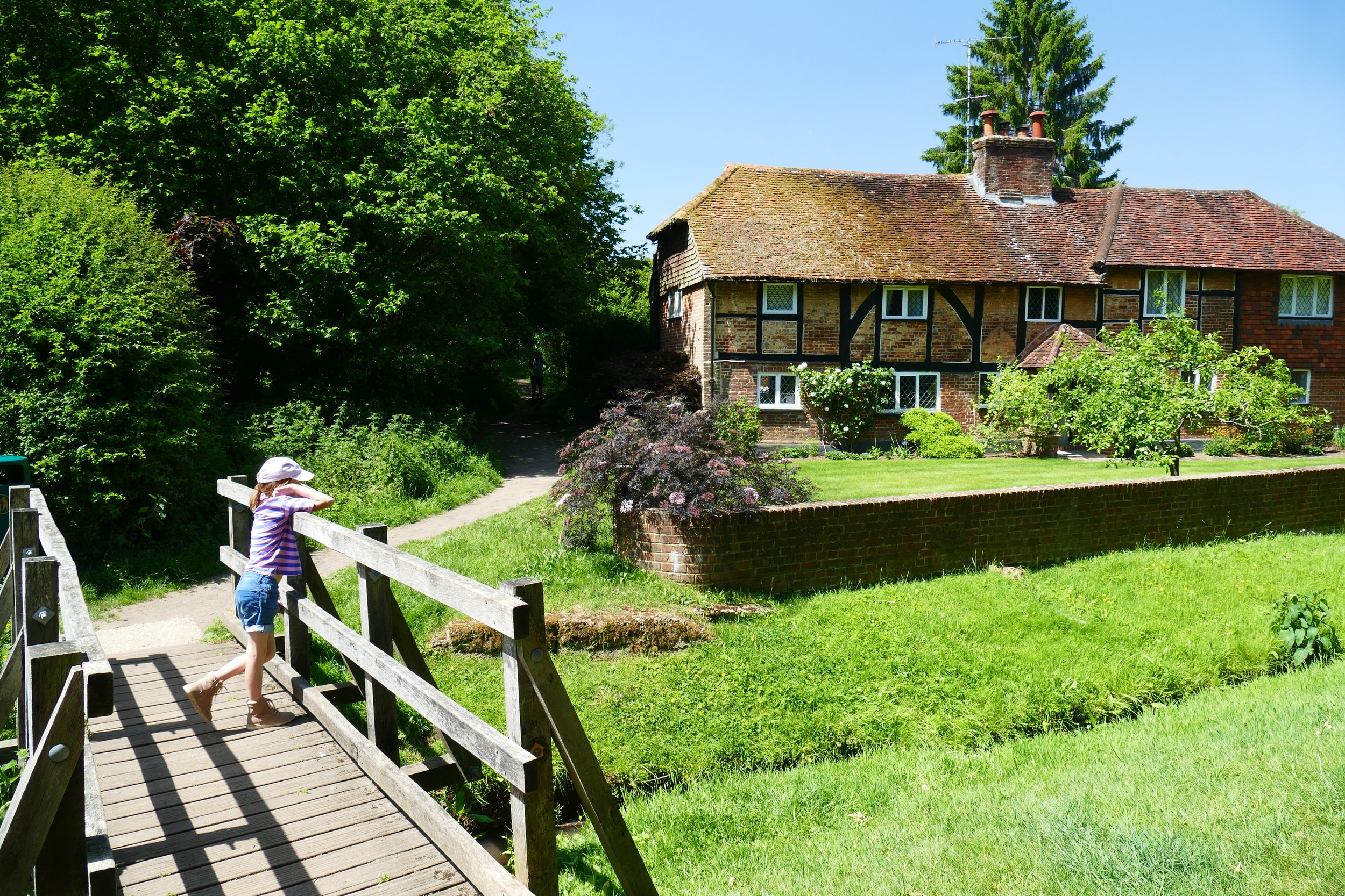
As you exit the A25, you will see an initial parking area on your right adjacent to the road, but continue a few metres down the lane for the proper car park. To begin the walk, return to the lane that you drove in on and turn left. Walk down the tarmac lane through the trees. Fork right when you reach a house with a garden gate that looks like a wishing well and then immediately fork right again at Evening Stables, taking the ‘dogs on leads’ option. Pass narrowly between fences and look out for ducks, chickens and sheep as you descend. Go down the steps and turn left on the gravely drive. Turn right over the little bridge, signed as a public footpath.
This path will climb steadily with tall garden fences to your right and you should follow it for around twenty minutes until you reach a metal kissing gate. Go through the gate and carry straight on down the hill. Just before Crick Hollow, turn right and follow the footpath with a low brick wall to your left.
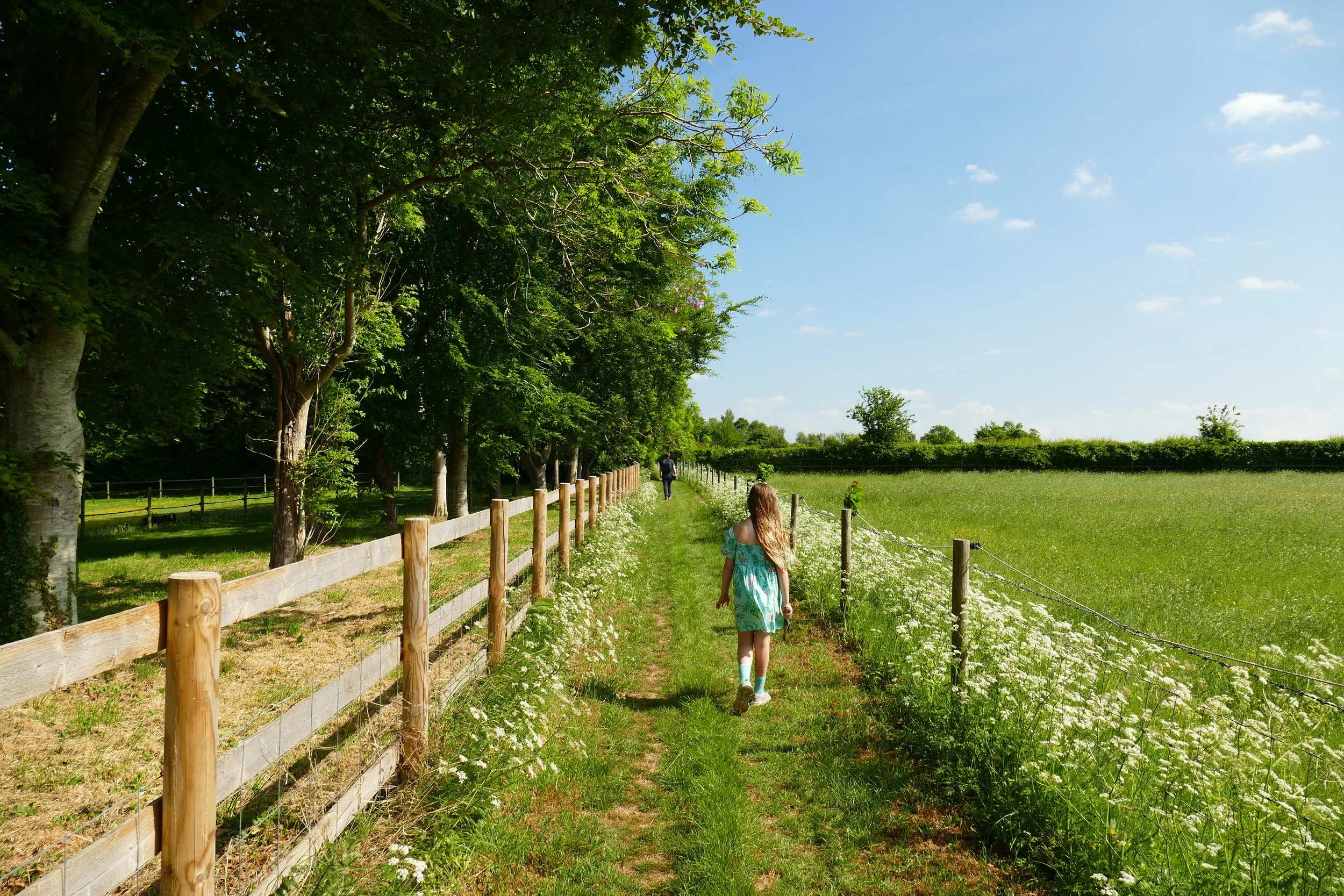
After a few metres, turn left through a metal barrier. Follow the path and when you come to an access drive, continue straight across and re-join the footpath on the other side. Initially you will be walking snuggly between fences, but then the path will open up a little and you will be walking under trees. After a lovely line of trees, you will pass a white cottage to your left and then the path widens to allow vehicles to access. At the black gates of Applegarth Farm, continue straight and bear right when you come to some large double black gates and a horse menage. Turn left when you see the sign for Surrey Hills Yurts and Coffee in the Copse.
When you are finished at Coffee in the Copse, exit the way you came, and at the gate you will see on your right a narrow footpath that runs alongside Coffee in the Copse. Follow this with fields behind the fence to your left and the copse to your right. The path is rough and uneven due to heavy rainfall from the winter. Go out through the kissing gate at the bottom of this path and cross the field. Go through the gate in the opposite corner and after a little ditch, proceed along the footpath. There will be glimpses of fishing ponds through the hedge to your right. At the end, cross the bridge over a muddy stream.
Turn left and walk with a fence to your right and the muddy stream to your left. Go through the kissing gate at the end and out onto the gravel drive. As you walk, look our for an unmarked footpath going up to your right under the trees. This path will bring you back up to the tarmac path you started on in step one. Re-trace your steps back to the car park.
If you wish to climb to ‘the temple’, look out for a wooden post and rail fence and some bins on your right as you get close to the car park. Turn right off the tarmac into the woodland. Fork right and then fork right again. At the swing, keep right with the swing to your left and soon after that you will see some steps that will aid you up the hill to ‘the temple’.
Gain access to the member's only area of our website where you will find the complete A-Z library of all our PDF files. This includes over 220 self-guided walks ready to print or download, as well as various children's activity sheets. You will also find a digital membership card, giving you access to our current discounts.
The Nower to Westcott & Coffe in the Copse:

Route Two: Broadmoor to Westcott
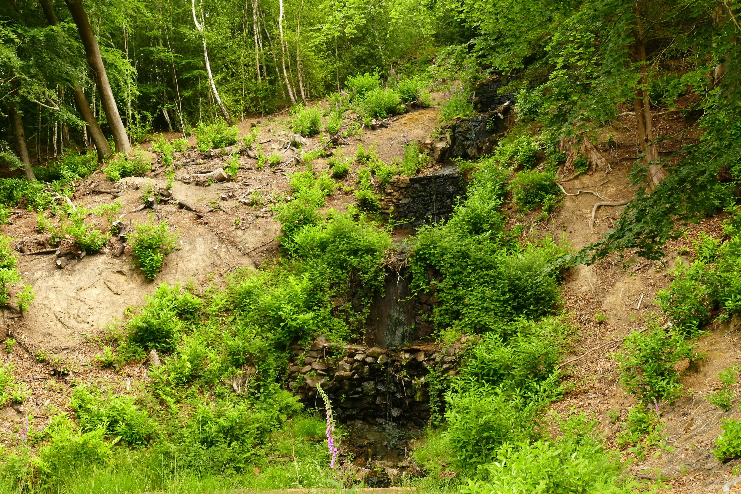
The second walk to Coffee in the Copse starts from Broadmoor car park on the lower slopes of Leith Hill. It passes Tillingbourne Waterfall before arriving in Westcott. The return leg is mostly through woodland. The route is more challenging than the first with some steep uphill and downhill sections.
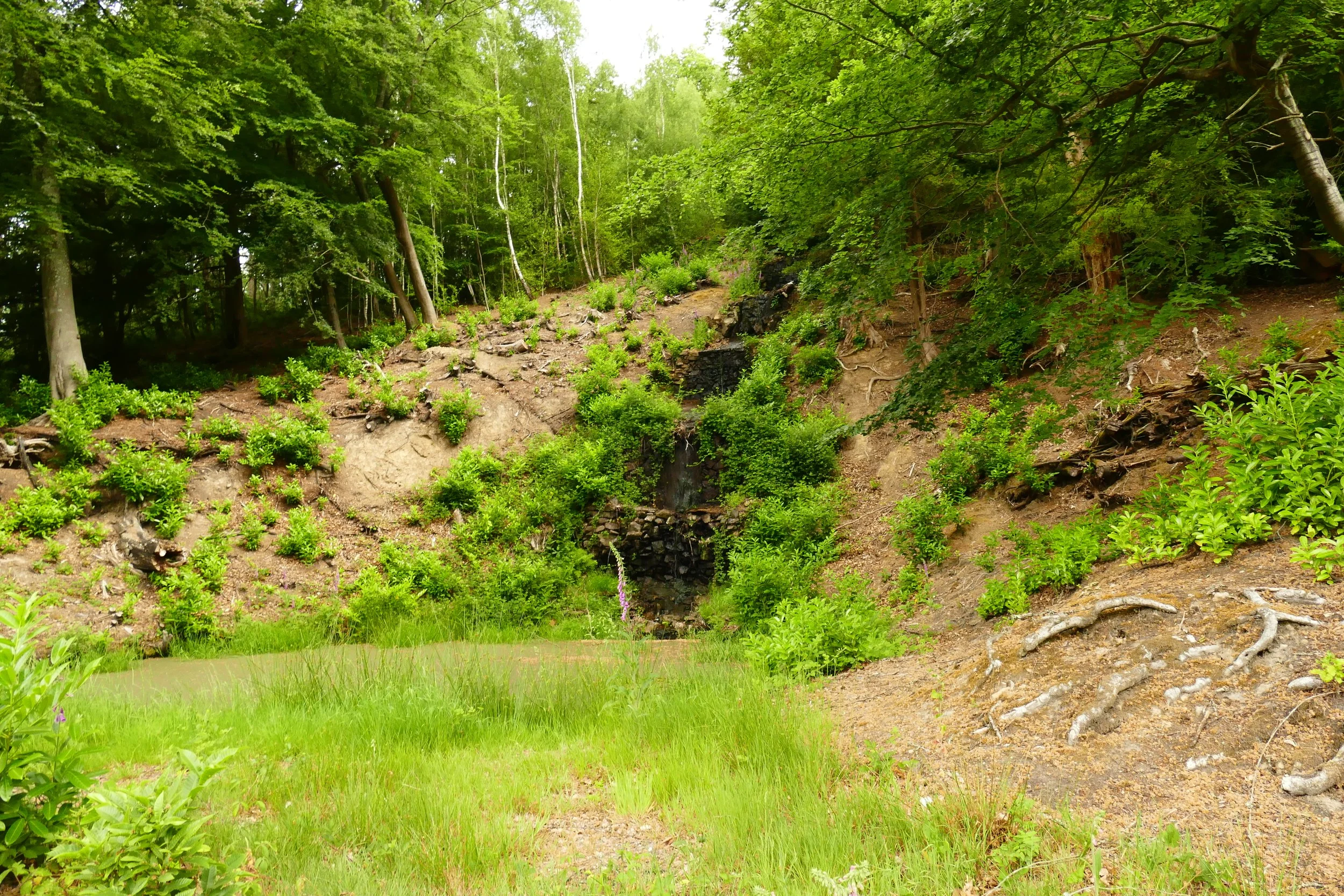
Tillingbourne Waterfall
The Basics - Broadmoor to Westcott
Time: 1 hour 45 minutes (add ten minutes to include the cafe)
Distance: 5.7 km / 3.5 miles
Terrain: One stile, some steep uphill and downhill sections.
Pushchair: This route is not suitable for pushchairs.
Dogs: Dogs are welcome on this walk.
Refreshments: Coffee in the Copse, a charming, hidden café in the heart of the countryside only accessible on foot. Fri-Sun 9-3 and some bank holidays.
Toilets: There are no public toilets on this route.
Public Transport: There is no public transport to this location.
Parking: Broadmoor car park off Sheephouse Lane, free, height barrier (Postcode: RH5 6JY - W3W: ///prop.corn.slices)

Squire’s Great Wood
The Route - Broadmoor to Westcott
Standing with your back to the car park entrance, aim for the path that begins in the far left corner of the car park. Go downhill through the bracken and veer right at the first fork. Then take the path on your right going steeply downhill. There is quite a labyrinth of unmarked paths crossing through the bracken; if you feel like you are unsure about which one to take, your aim is to always choose the path that will take you down the hill the quickest. At the bottom of the hill, look for the end of a garden with a blue boat propped up against a shed, a blue hosepipe and some chickens. Keep going downhill and follow the path to the left of the property, which will bring you out onto a quiet road.
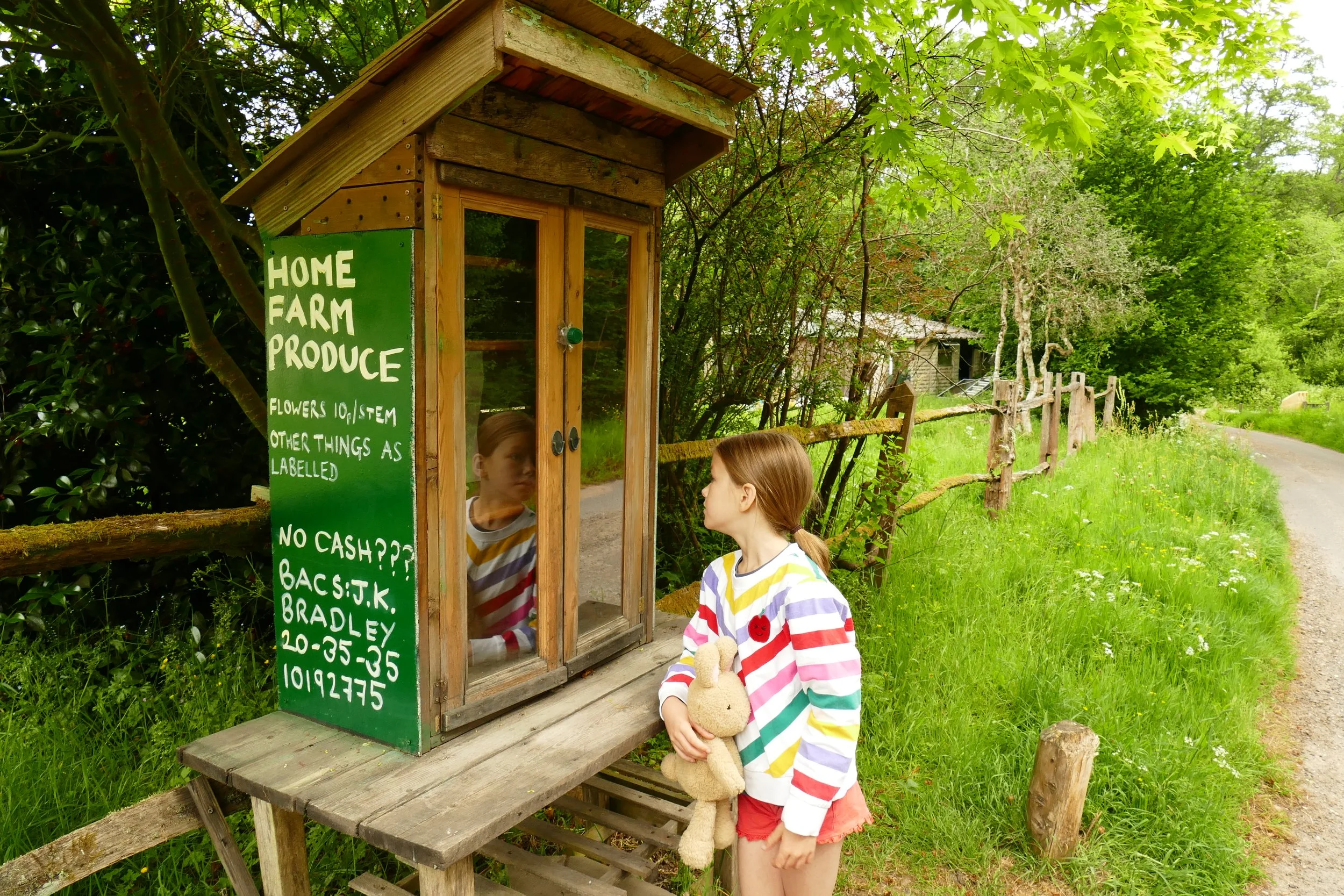
Turn left and walk along the road passing a series of cottages, including one selling local produce from an honesty box. Opposite Home Farm Cottage, you will see a yellow salt grit box and a footpath. Ignore this one and instead take the next footpath on your right forking away from the road with a ‘private road’ sign. Along this track, look out for Tillingbourne Waterfall on your right. It is behind a fence as it is on private property, but you can view it from the track. The waterfall is man made and in drier months is often not much more than a trickle, but it has recently been restored and the view of it from the footpath has much improved. Continue along the track, passing Mandrakes until the point where there is a fence/field ahead of you and the path splits. Take the right hand path through the kissing gate and follow it as it goes narrowly between a fence and some trees. Go over the stile at the top, through the wooden posts and then turn left when you hit the track.
Pass under a line of trees and after about 100 metres, take the public byway on your right. Continue straight all the way down the path, ignoring any paths to the right and go out through the gate at the bottom. Continue on the stony track, passing Logmore Farm. The stones will turn to tarmac and you should continue until you meet the road at a T-junction. Across the road to your left, you will see the start of the path that leads to Coffee in the Copse. If you want to visit, it will take you just under five minutes to reach the cafe and you should then return to this point to continue the circuit.
Take the footpath at the junction with Logmore Lane that passes through the middle of fenced horse paddocks. After initially going straight, the path will soon bend to the left, passing more horses. Keep going, and when you reach a field gate straight ahead of you, the path will take a sharp bend to the right over a stream. Cross the stream and continue forward on the straight path between the two paddocks. At the top of the field, go through the kissing gate, leaving the horses behind.
Follow the path with fields to the left and trees to the right and ignore any paths heading off to the right. At the farm, continue straight on the gravel bridleway. The path will soon bend up to the right and start climbing through the woodland. Keep left at the junction and continue your climb through the woods. At the fork, veer right going up the hill and then at the cross-paths, continue straight on.
When the path levels out, you will meet Wolvens Lane at a barrier. Turn right and then immediately left, stepping over the low barrier at your feet. Pass under some old trees and then go through two posts with a ‘Summer Lightening Trail’ badge on. Descend down the track and at the bottom, pass Tillingbourne and Simon’s Cottages and rise up along the entrance track. Turn right at the junction and you will soon find yourself facing Home Farm Cottage again. Turn left and retrace your steps back to the car park.

Gain access to the member's only area of our website where you will find the complete A-Z library of all our PDF files. This includes over 220 self-guided walks ready to print or download, as well as various children's activity sheets. You will also find a digital membership card, giving you access to our current discounts.
Broadmoor, Tillingbourne Waterfall & Coffee in the Copse:


Did you know?
Tillingbourne Waterfall is the highest waterfall you will find on any of our walks in Surrey, Hampshire or Sussex! It was built in 1740 by London merchant and architect, Theodore Jacobsen. The stream played an important role in the industrial age, powering many mills along its course.
If you enjoyed this walk…
…try this one at Norbury Park with another hidden woodland coffee spot!
Follow us to see our new walks and get regular updates on our old ones: