Ferring
Worthing
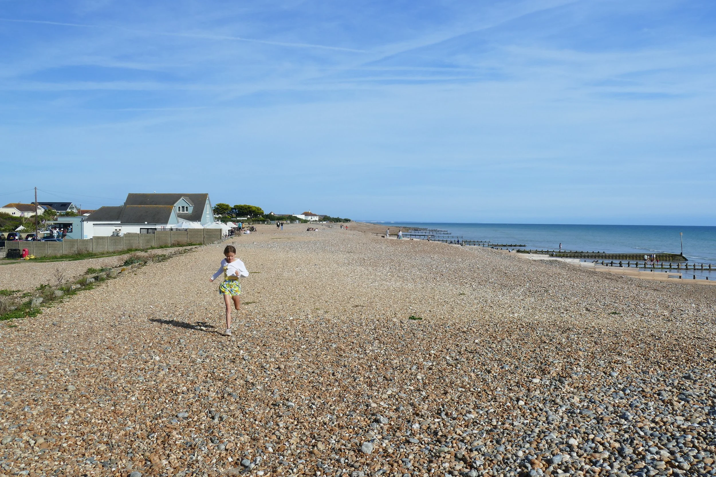
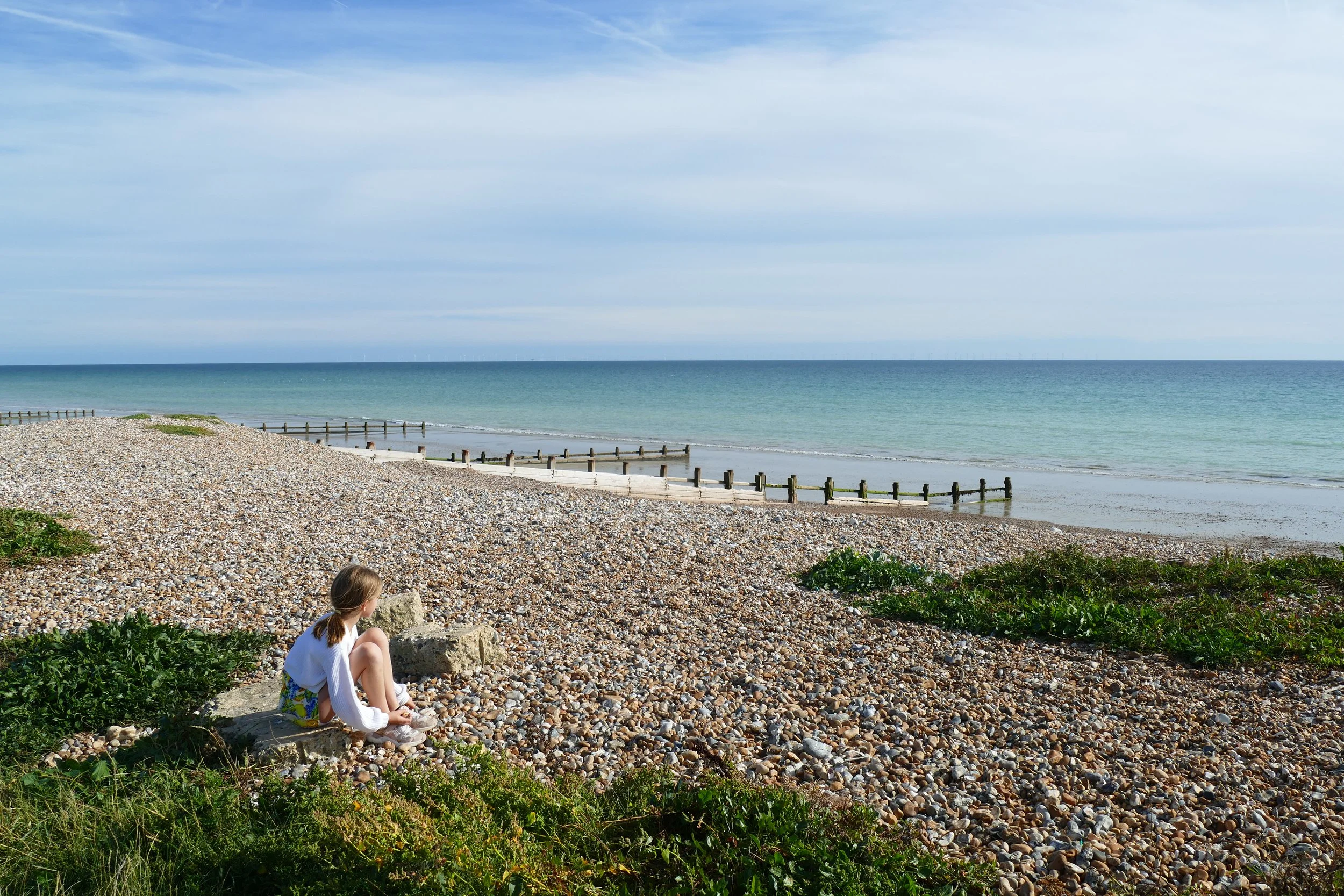
Children will enjoy playing on the beach on this walk.
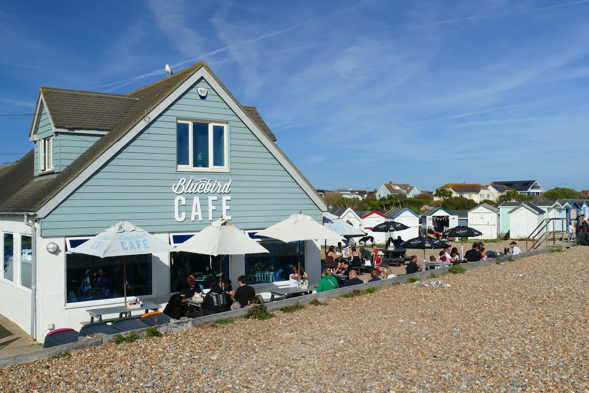
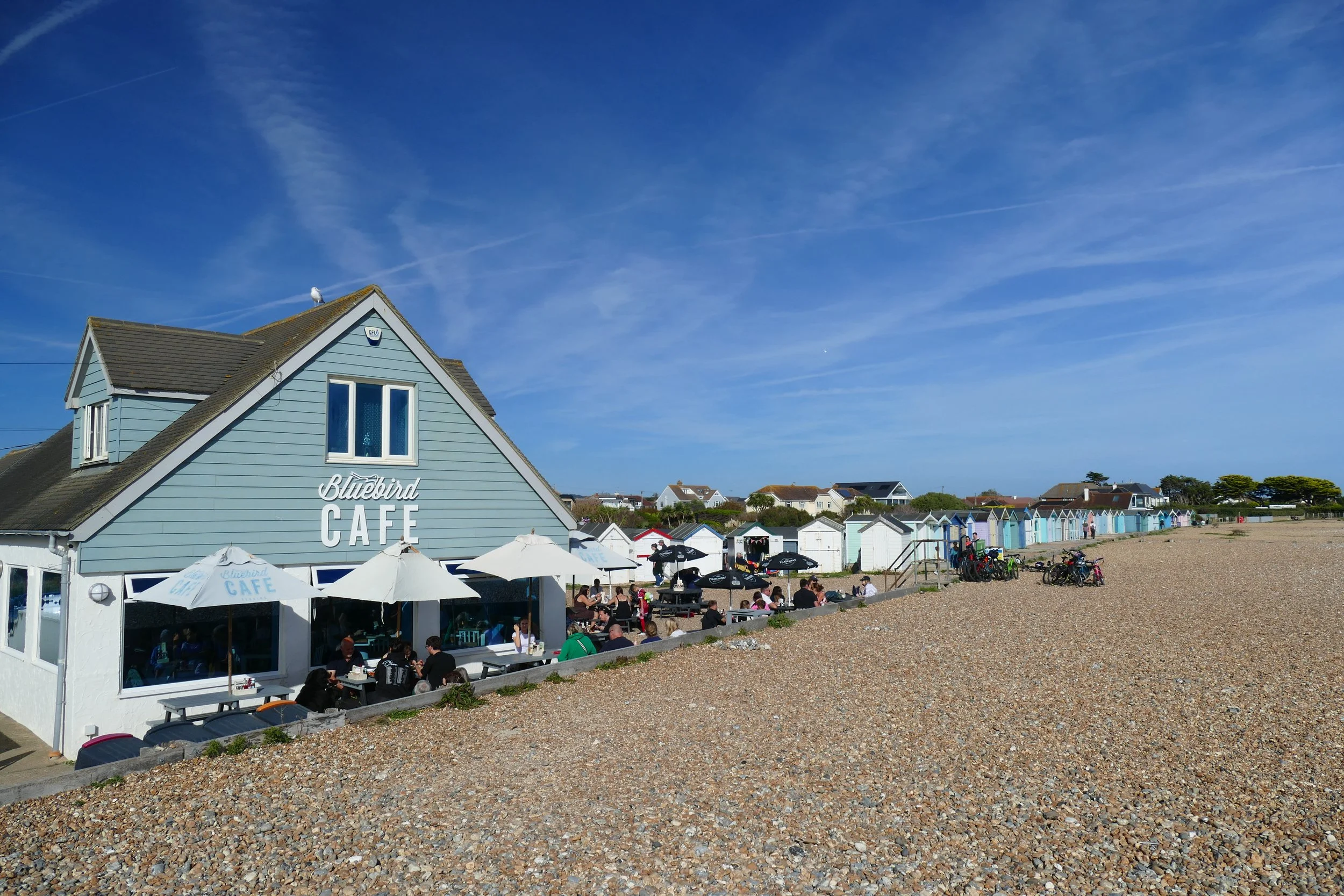
Bluebird Café is situated on the beach at the start/end of this circular walk
The Basics
Time: 45 minutes
Distance: 3 km / 1.9 miles
Terrain: Quiet, private roads, uneven field paths, steps, optional section on pebbly beach.
Pushchairs: Due to an uneven field path and steps at the footbridge, this route is not ideal for pushchairs. However, if you prepared to lift it up the steps and the field is not too muddy, you may make it in an all-terrain pushchair. A better, more pushchair friendly alternative would be to walk along the coastal path in the direction of East Preston in a linear walk.
Dogs: Dogs are welcome on this walk and at the café.
Refreshments: Bluebird Café on the beach.
Toilets: Public toilets are available at the car park near the café.
Public Transport: Compass Travel 8 from Worthing stops at The Strand near the café/car park.
Parking: Ferring Beach car park on South Drive, free (Postcode: BN12 5QU - W3W: ///sung.full.fever)
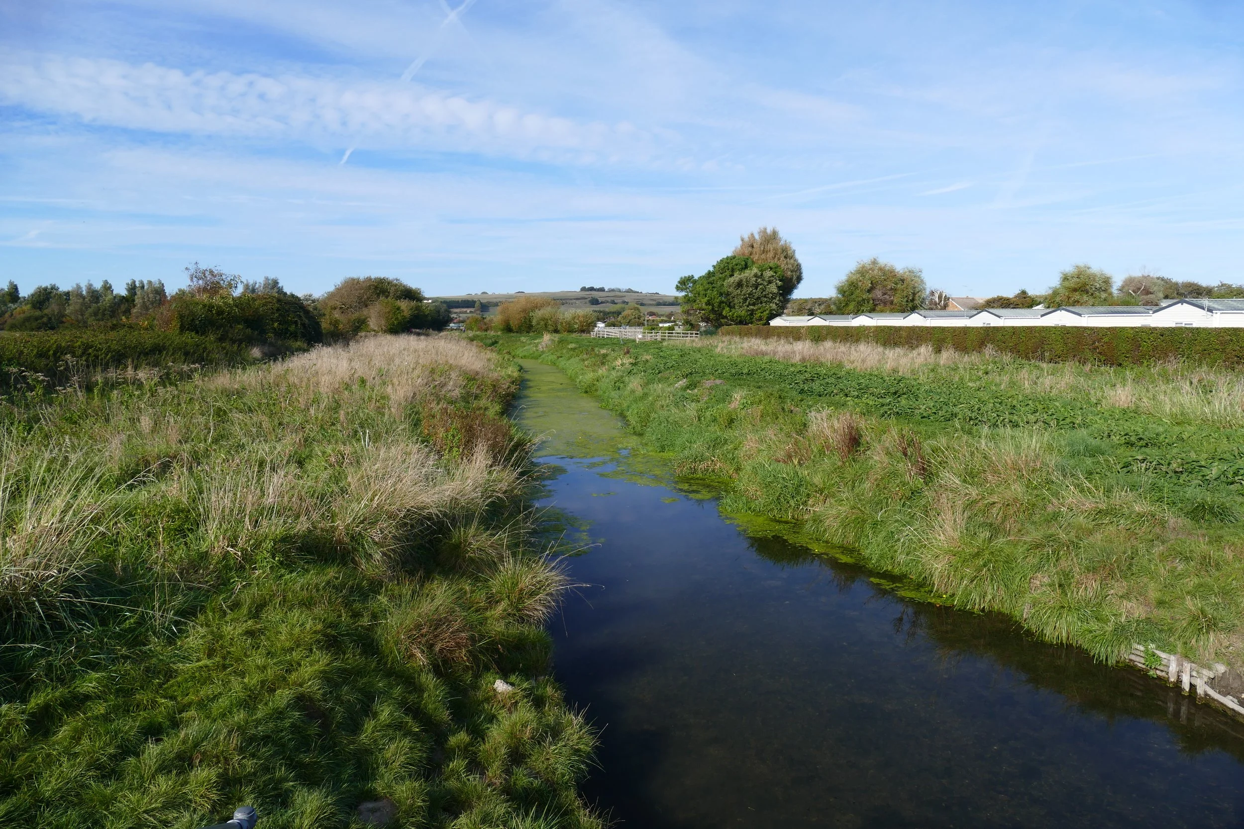
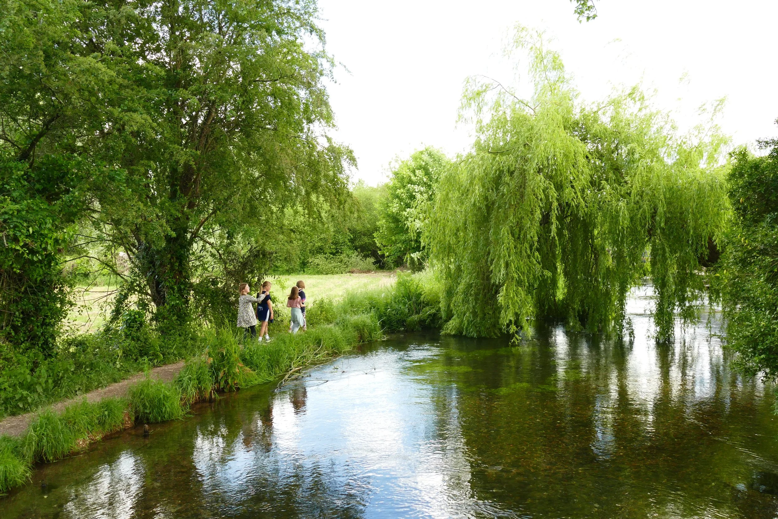
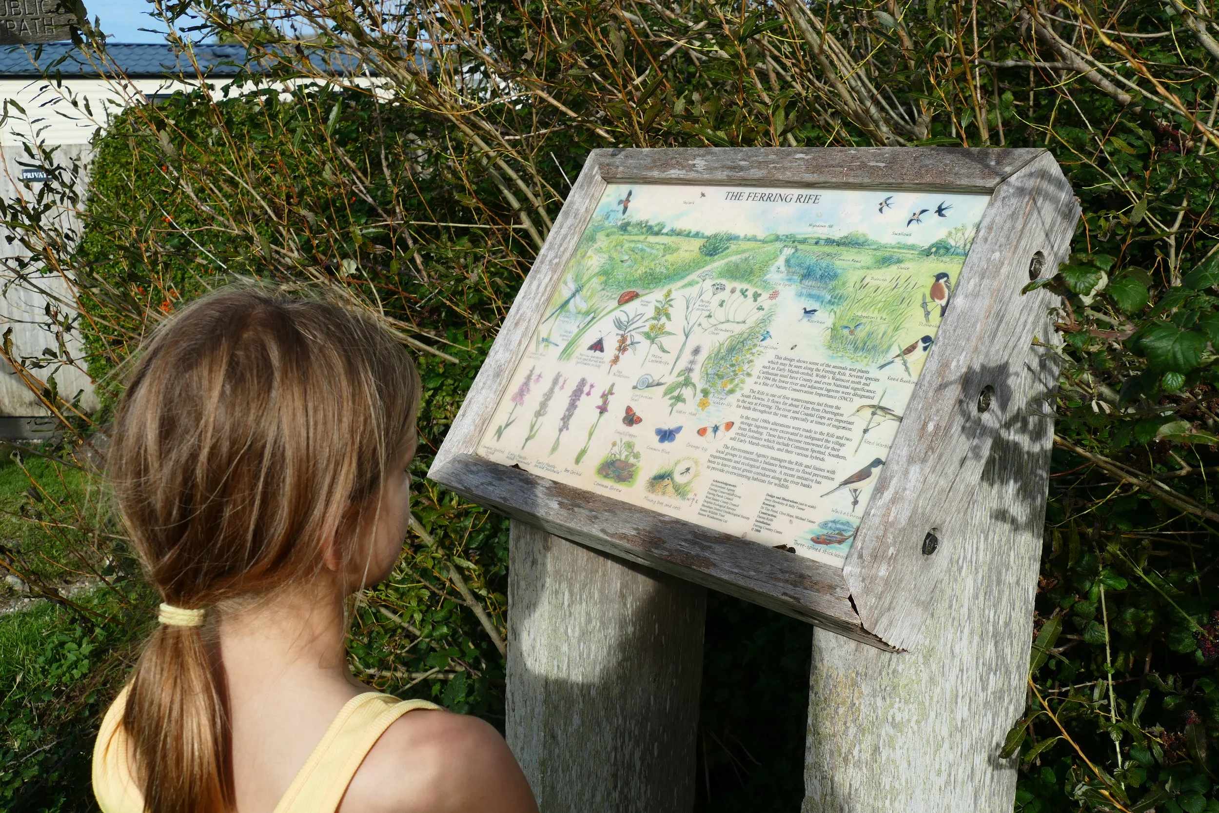
The walk returns to the beach along Ferring Rife
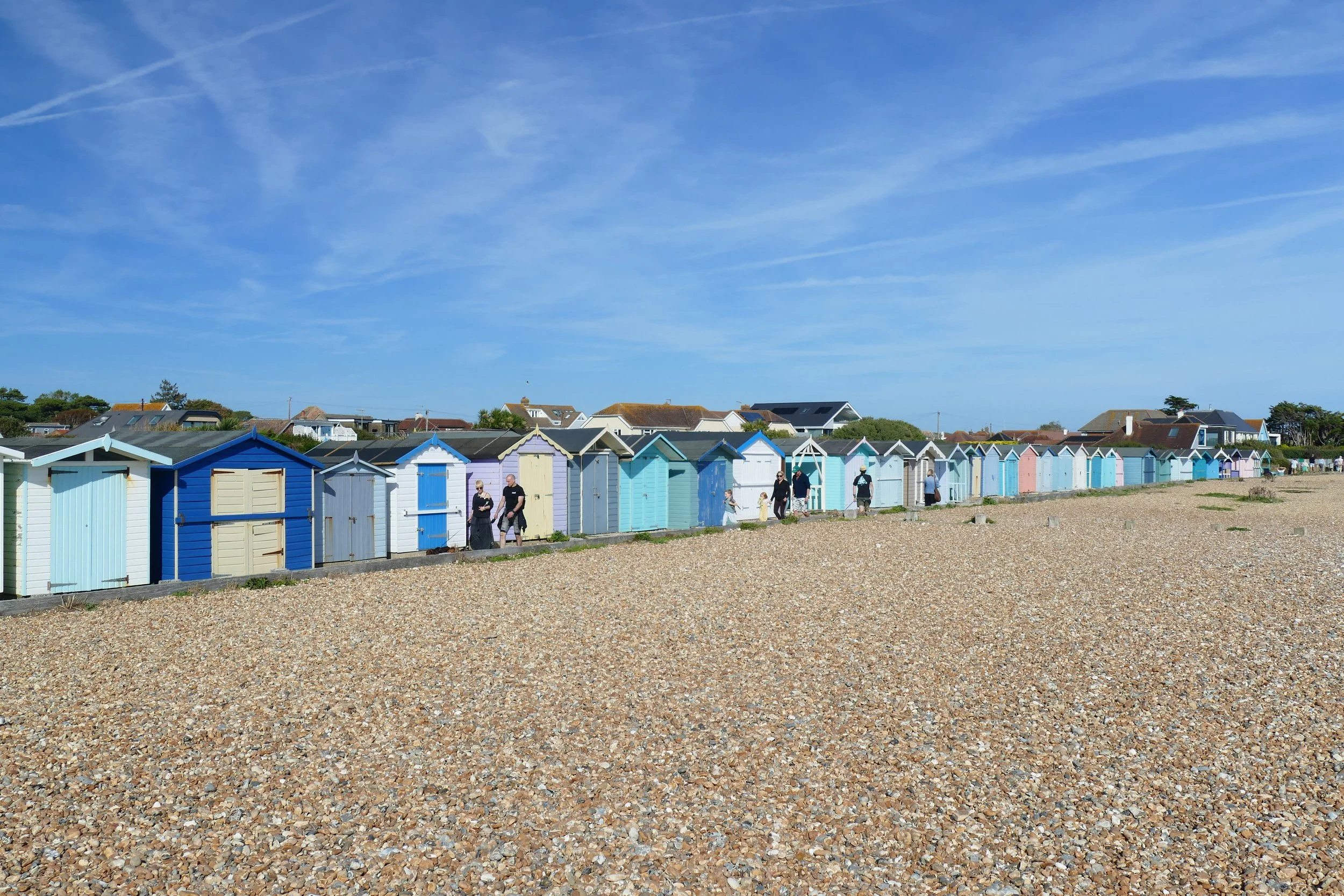
This short and simple walk begins at Ferring Beach, with a pebbled shore lined with pastel beach huts and The Bluebird Cafe. After following the coast, the route turns inland past farms and along Ferring Rife, a small river that runs down to the sea.
The Route
Walk along the shoreline path with the café to your right and the sea to your left. Proceed for about ten minutes until you pass through some upright posts and reach the sign for ‘West Kingston Private Estate’.
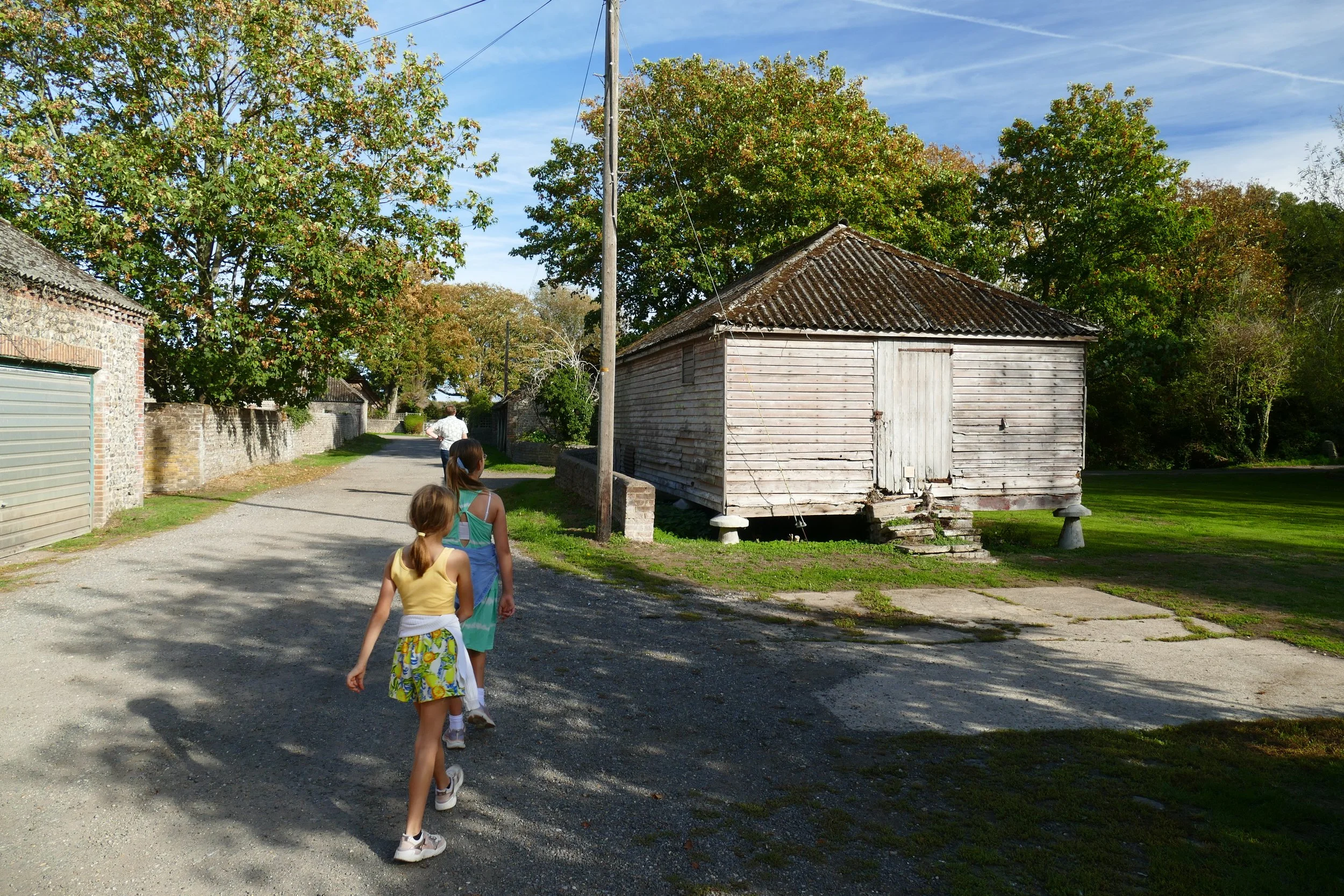
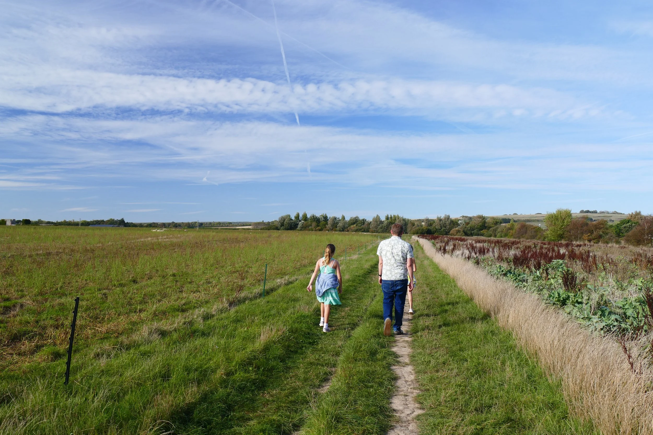
Turn right here, away from the beach. At the junction, keep left and walk up Sea Lane. Go around the blue and white barrier at the end of this private lane and continue forward. Just after the pond to your right (can be dry in summer), turn right into the East Kingston Farm private road beside the red post box. Walk with the pond to your right and the farm to your left and then veer left at The Old Cottage and follow the farm track as it bends past more buildings before straightening out.
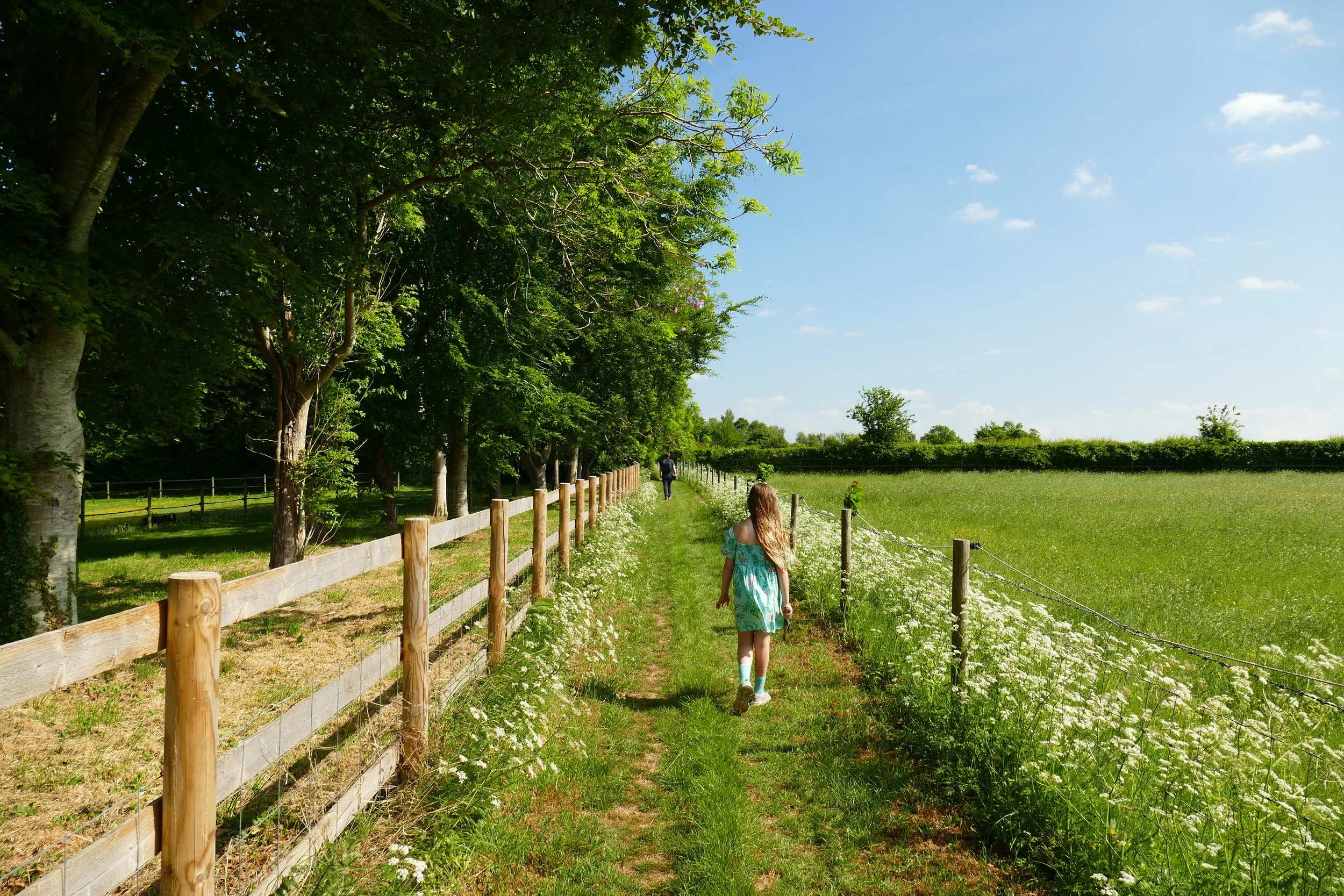
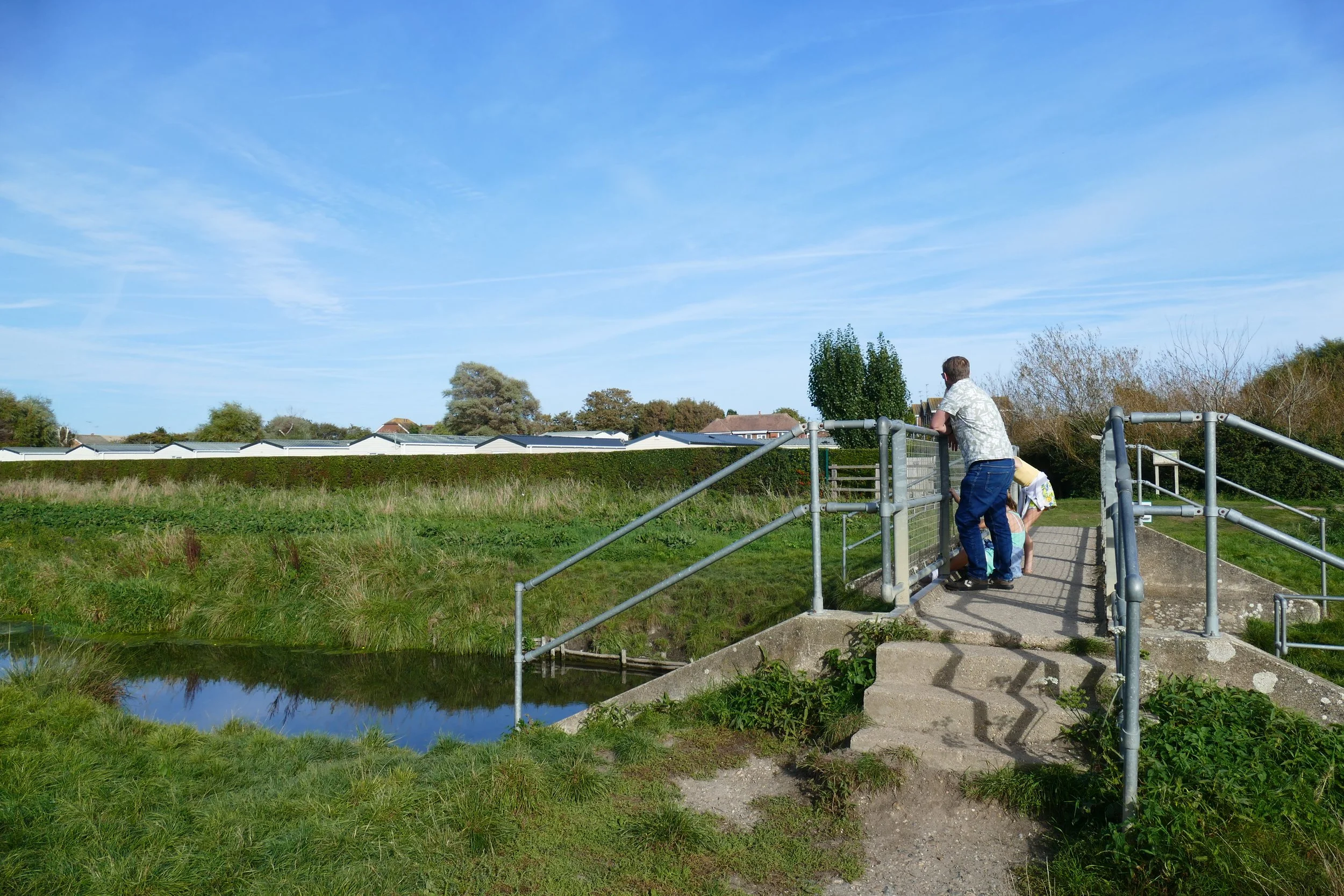
When the gravel farm track comes to an end, ignore the permissive footpath ahead, and turn left up the public footpath. As the path takes a bend to the right, take the footbridge to your right over The Rife.
On the other side of the bridge, turn right and walk with the stream to your right for approximately 15 minutes until you reach the café/toilets/car park again.
Gain access to the member's only area of our website where you will find the complete A-Z library of all our PDF files. This includes over 220 self-guided walks ready to print or download, as well as various children's activity sheets. You will also find a digital membership card, giving you access to our current discounts.
Did you know?
The word ‘rife’ is Sussex dialect for ‘stream’ and its use is particularly rife (!!!) in the area between Worthing and Selsey.
If you enjoyed this walk…
… try this beach walk to Pagham Harbour near Selsey
Follow us to see our new walks and get regular updates on our old ones: